espana.net
 Nicolás Pérez, CC BY-SA 4.0
Castile and León
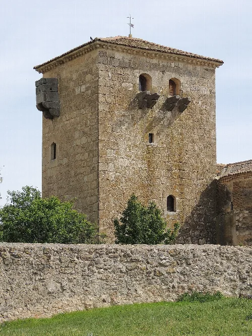
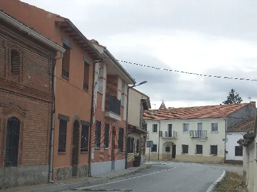
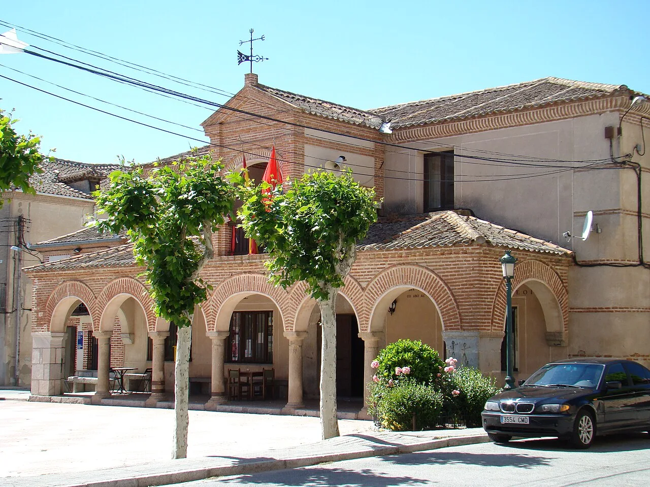
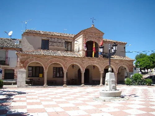
Sangarcía is a municipality located in the province of Segovia, within the autonomous community of Castile and León. Characterized by its rich history and traditional agricultural practices, it features notable landmarks and vibrant local festivals.
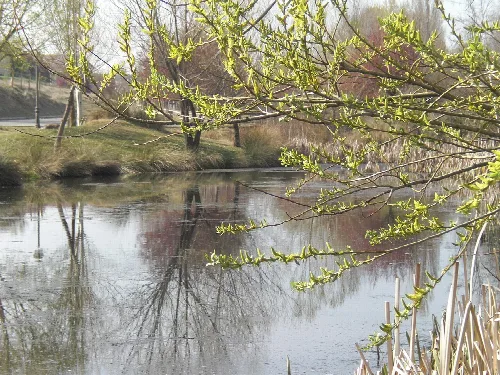
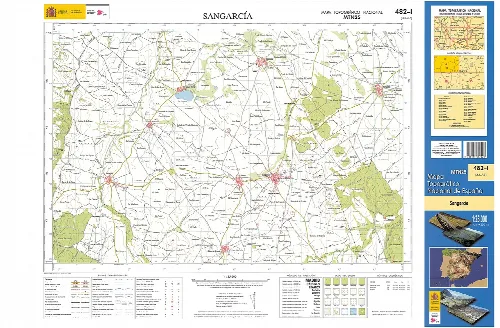
Sangarcía is situated in the Campiña Segoviana, a fertile area in the province of Segovia. The municipality encompasses several population centers, including Cobos de Segovia and Etreros, which were independent municipalities until the late 20th century. The landscape is characterized by its plains, contrasting with the rugged terrain found in other parts of Castile.
The origins of Sangarcía date back to the repopulation efforts of the 11th and 12th centuries, influenced by the devotion to Sant García, a Benedictine abbot. The village was first documented in 1168 when it was donated to the Monastery of Santa María de Párraces. Throughout the 18th century, Sangarcía became known for its arrieros, who transported grain to Madrid, contributing significantly to the local economy.
Discover Sangarcía, a historic municipality in Segovia known for its traditions and cultural heritage.
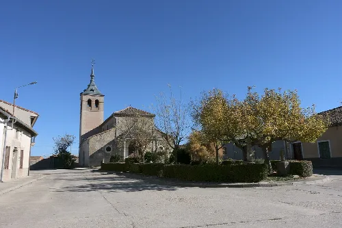
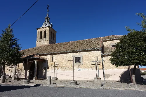
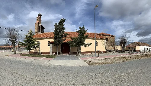
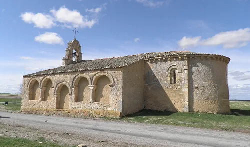
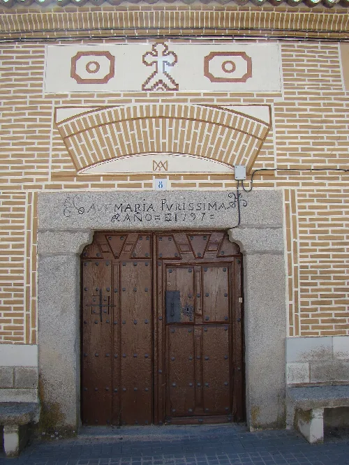
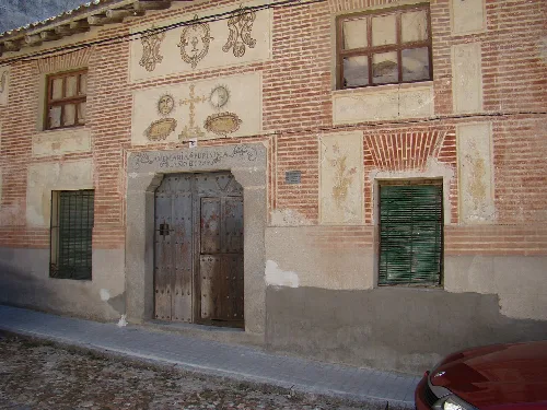
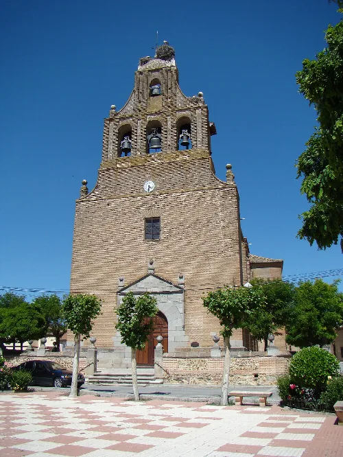
Sangarcía boasts several notable structures, including the Church of San Bartolomé, built in 1684 and recognized as a cultural heritage site. The church features a single nave and a rich interior adorned with baroque altarpieces. Additionally, the Ermita de San Roque and traditional arrieros' houses reflect the municipality's historical significance and architectural style.

Own text, written with AI assistance from the facts in Wikipedia · Sangarcía · Data: Wikidata Q1938456 · Photos: Wikimedia Commons, see individual licenses. · CC BY-SA 4.0