espana.net
 Arturo Francisco Barbero, CC BY-SA 4.0
Castile and León
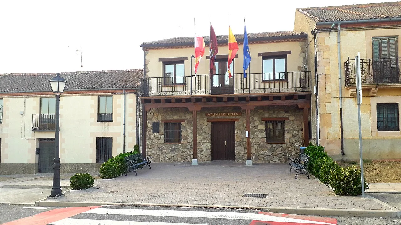
Santo Domingo de Pirón is a small municipality located in the province of Segovia, within the autonomous community of Castile and León. Characterized by its picturesque landscapes and rich cultural heritage, it is nestled along the banks of the Pirón River and surrounded by the Sierra de Guadarrama.
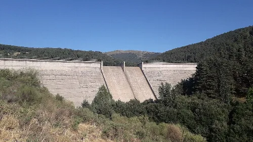
Santo Domingo de Pirón is situated 18 km from the capital of Segovia, integrated into the Community of Ciudad y Tierra de Segovia. The municipality is traversed by the N-110 national road and the local SG-V-2362 road, which connects it to nearby villages. The area features the western slopes of the Peñalara Massif, with the Pirón River flowing through it, contributing to the local hydrology.
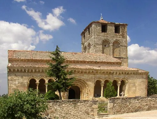
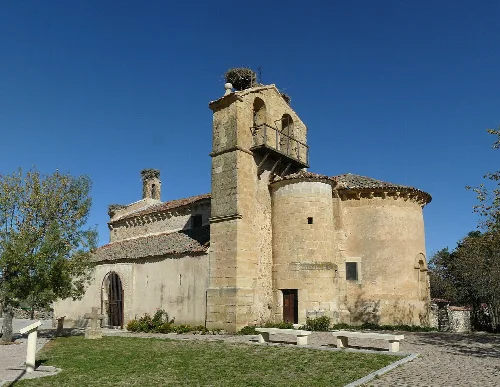
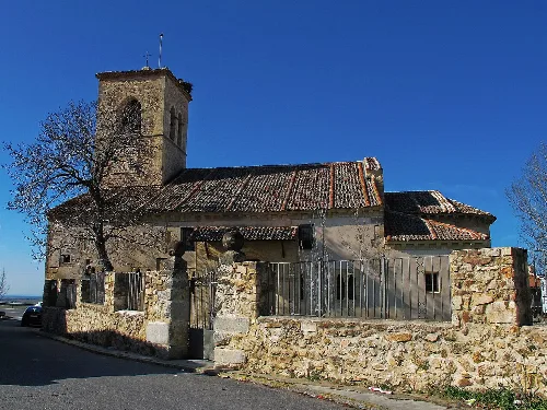
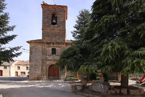
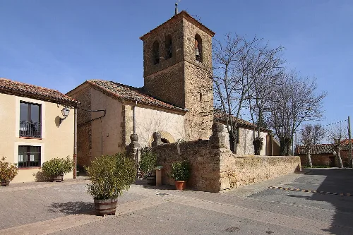
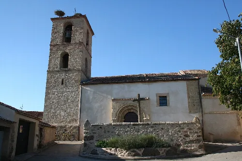
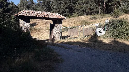
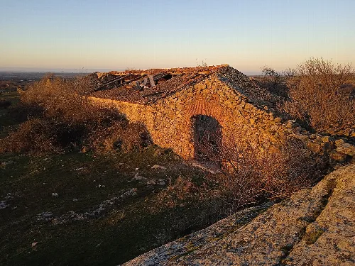
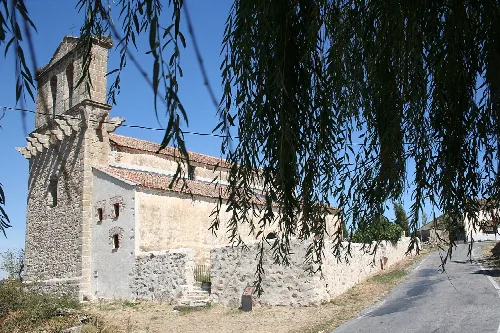
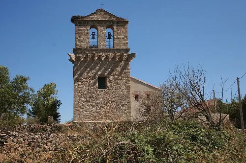
The municipality boasts several notable heritage sites, including the Church of Santo Domingo de Silos, which features a semicircular Romanesque apse and sculptural corbels. Other significant structures include the Esquileo-lavadero of Rancho Alfaro, an ancient stone mill, and various traditional buildings showcasing different types of sgraffito.
Explore Santo Domingo de Pirón, a quaint municipality in Segovia, known for its natural beauty and cultural heritage.
Santo Domingo de Pirón celebrates several local festivals throughout the year, including San Isidro on May 15 and San Antonio on June 13. The community also has a rich folklore, featuring legends such as that of El Tuerto de Pirón, a bandit known for his exploits in the region, and tales of local ghosts.
Own text, written with AI assistance from the facts in Wikipedia · Santo Domingo de Pirón · Data: Wikidata Q1919684 · Photos: Wikimedia Commons, see individual licenses. · CC BY-SA 4.0