espana.net
 Roman Santos from Madrid, Spain, CC BY 2.0
Castile and León
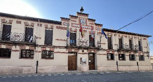
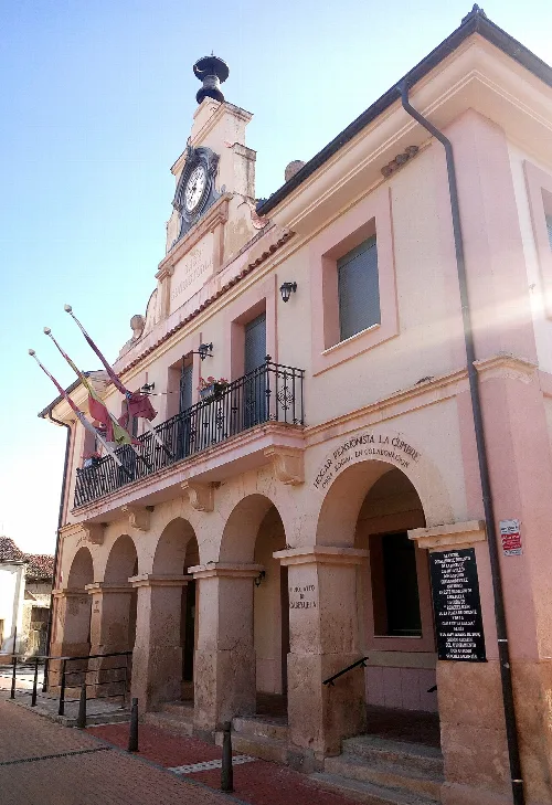
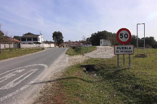
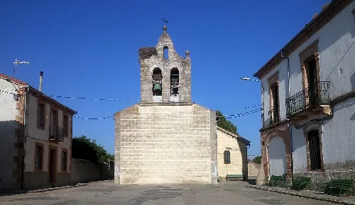
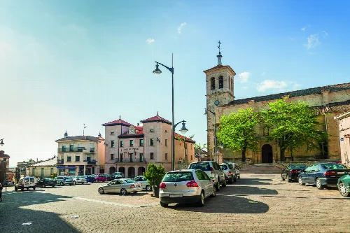
Sebúlcor is a municipality located in the province of Segovia, within the autonomous community of Castile and León. Known for its picturesque landscapes and historical significance, it is situated near the natural park of Hoces del Río Duratón, which features stunning gorges and diverse wildlife.
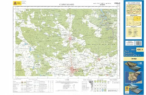
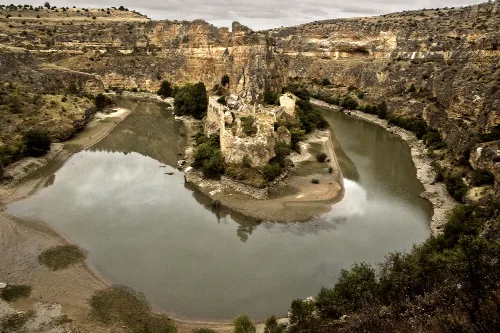
Sebúlcor is part of the Villa y Tierra de Sepúlveda region and lies in the heart of the Hoces del Río Duratón Natural Park. The municipality is bordered by Carrascal del Río to the north, Fuenterrebollo to the northwest, Cantalejo to the west and south, and Sepúlveda to the east. The Duratón River and its tributary, the San Juan River, flow through the area, creating a unique karst landscape.
The economy of Sebúlcor traditionally relied on agriculture and family-run livestock farming, with resin extraction from pine trees also playing a role. In recent years, the pork industry has become a significant resource for the community. The rise of rural tourism has led to an increase in outdoor activity companies and a variety of accommodations catering to visitors.
Sebúlcor is a municipality in Segovia, known for its natural park and historical sites.
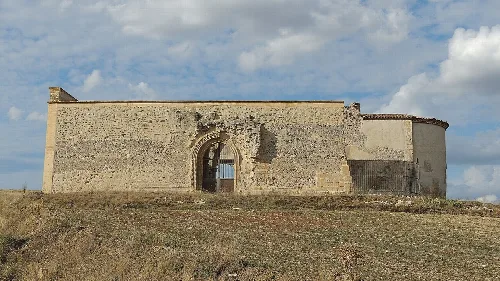
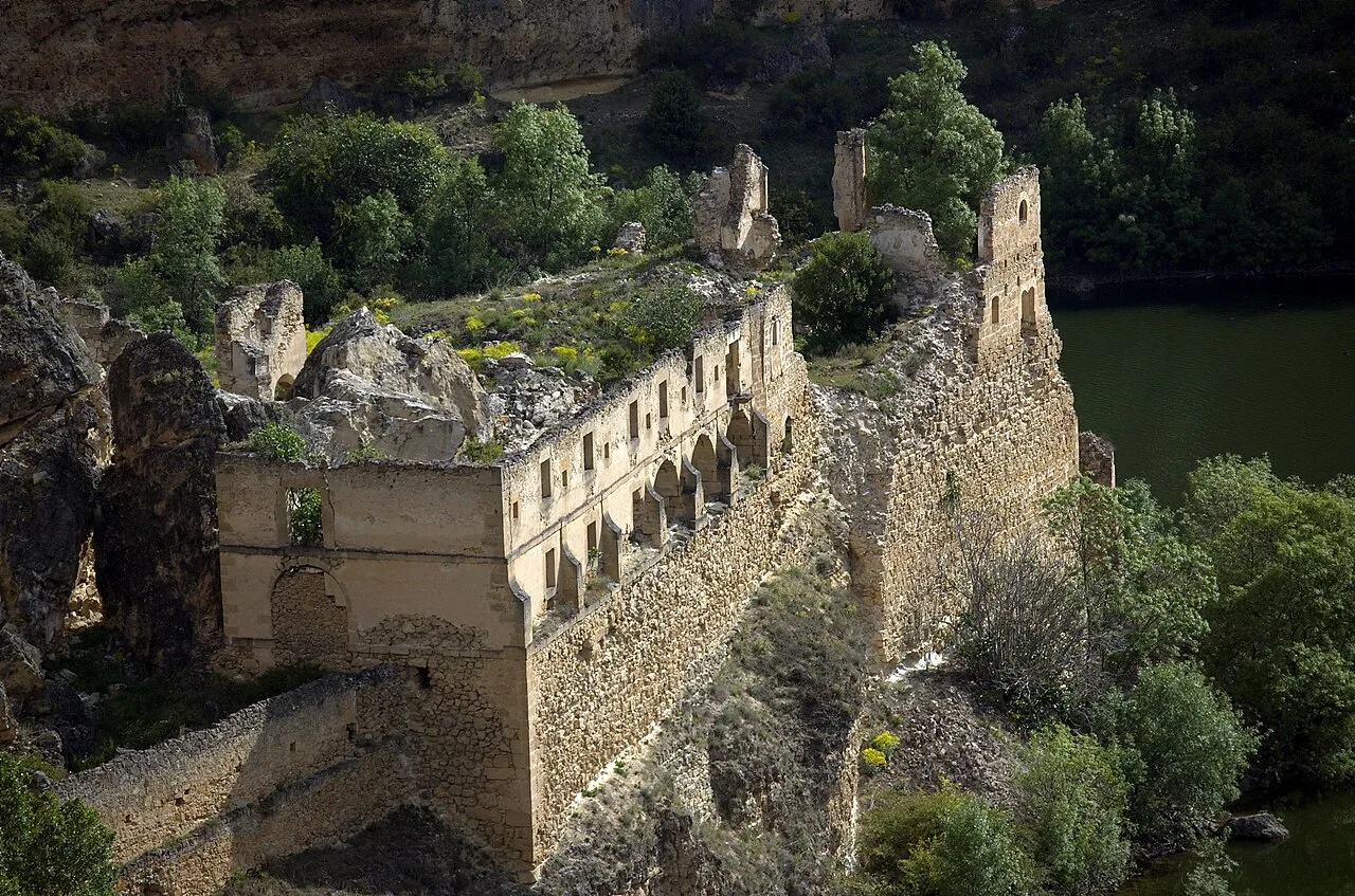
Sebúlcor is home to several historical sites, including the ruins of the Convento de Nuestra Señora de los Ángeles de la Hoz, founded in 1231. The village also celebrates various festivals, with the most notable being the Patrocinio de San José, La Magdalena, and San Miguel, each featuring unique local traditions and community participation.
Own text, written with AI assistance from the facts in Wikipedia · Sebúlcor · Data: Wikidata Q1917492 · Photos: Wikimedia Commons, see individual licenses. · CC BY-SA 4.0