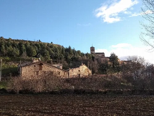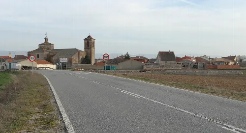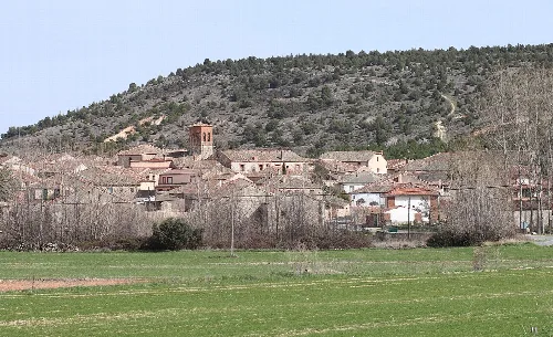
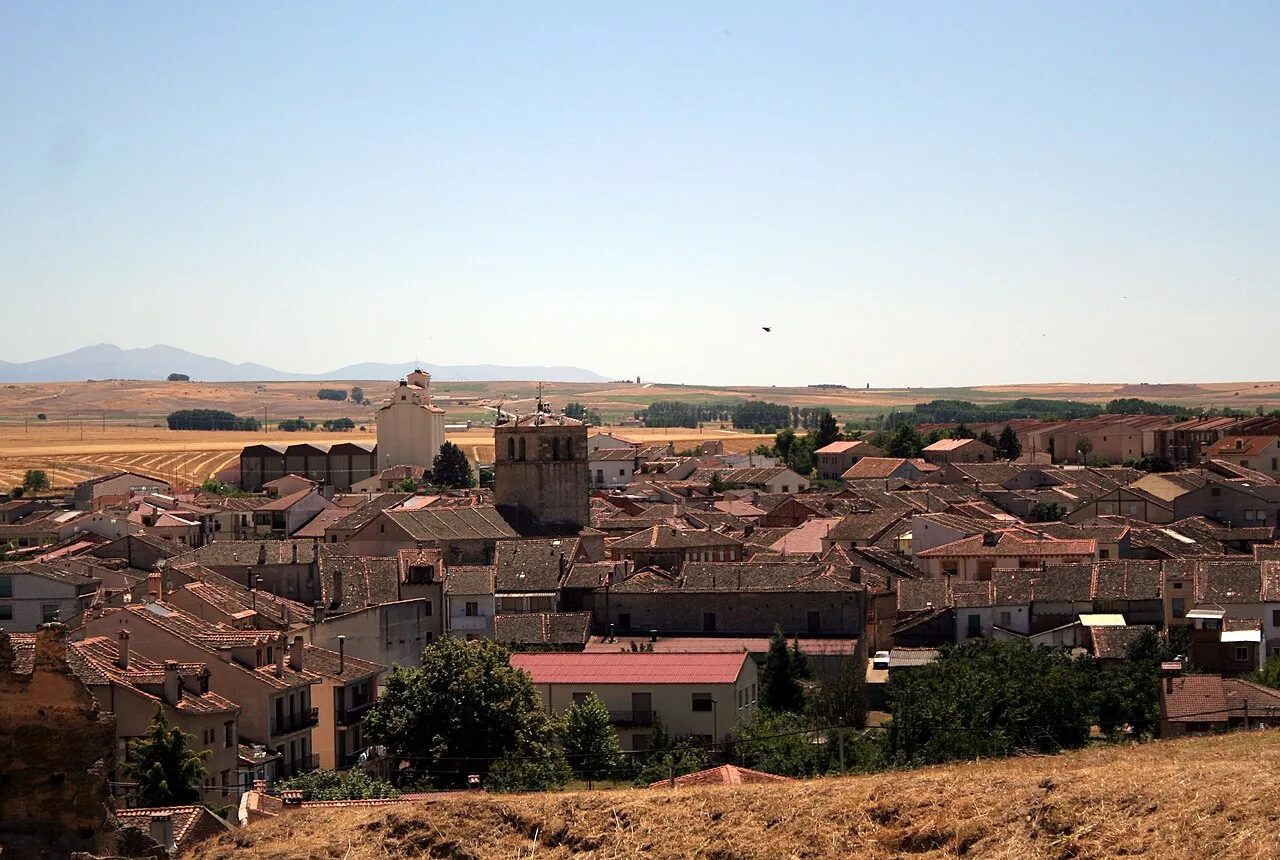
View of rooftops and a castle in Turégano, Segovia. Manuel Martín Vicente, CC BY 2.0

Turégano

Castile and León

1,007Population
70.78 km²Area
935 mElevation
40370Postal code

Turégano is a municipality located in the province of Segovia, within the autonomous community of Castile and León. Known for its historical significance and picturesque landscapes, it features a notable castle and various cultural festivities.

02Geography

Turégano is situated in the La Campiña region, nestled between the valleys of the Pirón and Cega rivers. The municipality includes several localities, such as La Cuesta, Aldeasaz, Berrocal, and Carrascal, all of which were independent until 1972. The area is characterized by its natural beauty and historical pathways, including the Camino de San Frutos.

Patron saint
Dulce Nombre de María
Festival dates
Fiestas in Honor del Dulce Nombre de María: first Sunday of September
Festival dates
Feria de San Andrés: weekend closest to November 30
Festival dates
Semana Santa: Sunday after the first full moon of spring
Festival dates
Fiesta de la Juventud: first weekend of July

03History

The history of Turégano is rich and complex, with evidence of its origins dating back to a pre-Roman settlement. The town was granted to Pedro de Agén in 1123, marking the beginning of its long association with the Diocese of Segovia. Over the centuries, it served as a significant political center, hosting royal courts and synods.

Explore Turégano, a historic municipality in Segovia, known for its castle and vibrant cultural festivals.

04Sights

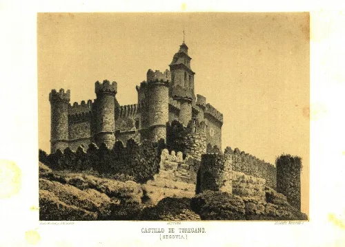
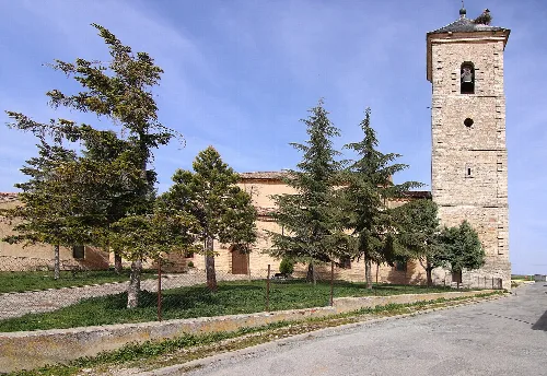
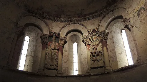
Turégano's most prominent landmark is its castle, which dates back to ancient times and is integrated with the church of San Miguel. The town also boasts the Romanesque Church of Santiago, known for its unique reliefs and historical significance. Additionally, the Museo forestal showcases the region's forestry heritage.
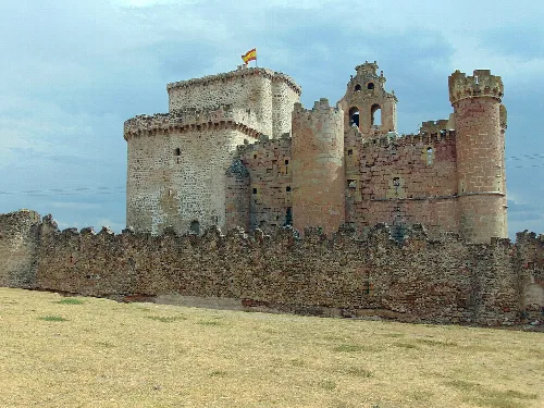
Medieval castle with towers and stone walls in Turégano.
Turégano Castle in Segovia, featuring towers and stone walls.
Interior of the apse with columns and frescoes in Santiago Church in Turégano.
Interior view of the apse of Santiago Church in Turégano, with columns and wall frescoes.
Turégano · Data
Province
Segovia
Autonomous community
Castile and León
Population
1,007
Area
70.78 km²
Elevation
935 m
Postal code
40370
Website
http://www.turegano.es/
Coordinates
41.1553, -4.0072

Photos

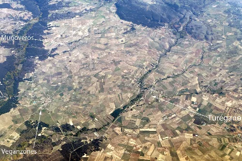
Aerial photograph showing Turégano, Veganzones, and Muñoveros in Segovia.
Aerial view of Turégano in Segovia, with Veganzones and Muñoveros also labeled.
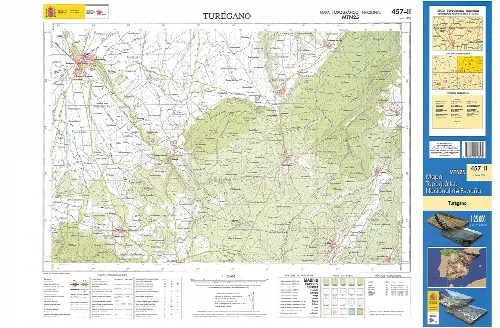
Topographic map fragment of Turegano at 1:25000 scale.
Topographic map fragment of Turegano in Segovia province at 1:25000 scale.
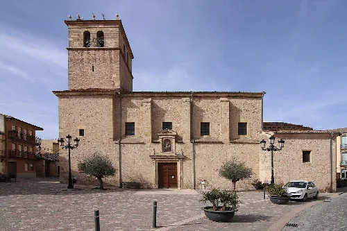
Main facade of the Church of Santiago in Turégano, with tower and doors.
Church of Santiago in Turégano, view of its main facade in the southeast.
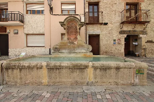
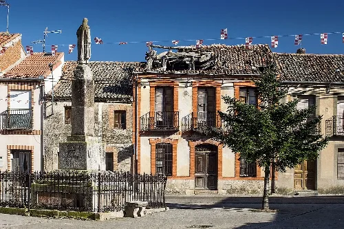
Stone fountain with sculpture on top in Santiago square.
1781 fountain in Santiago square, Turégano, with old buildings in the background.
View of Turégano castle with old towers and walls.
Turégano Castle, a medieval fortress in Segovia province.

Map

Nearby

Own text, written with AI assistance from the facts in Wikipedia · Turégano · Data: Wikidata Q1916641 · Photos: Wikimedia Commons, see individual licenses. · CC BY-SA 4.0