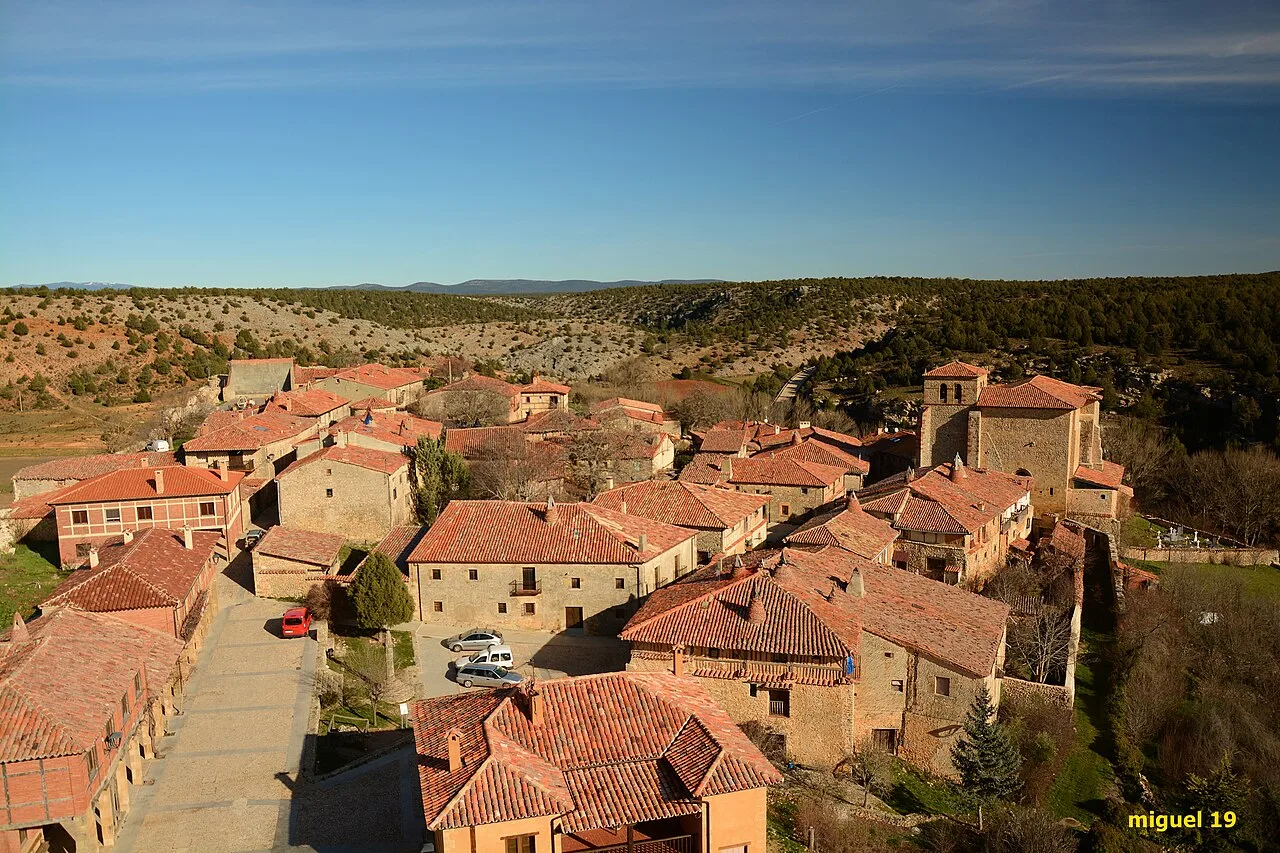
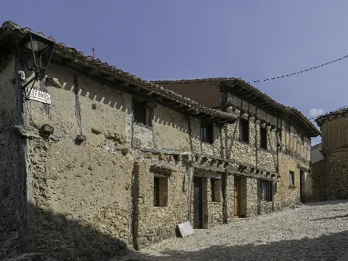
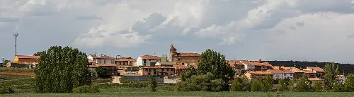
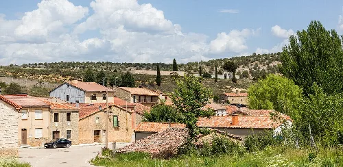
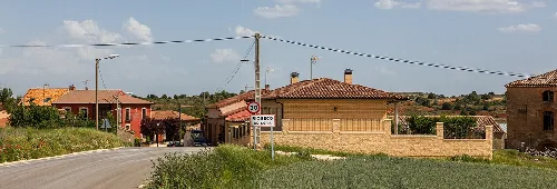
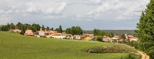
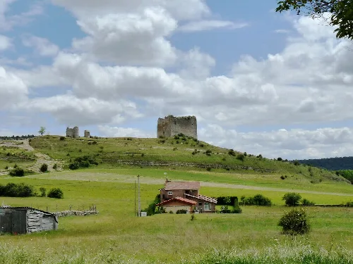
Stone houses and red tiled roofs in Calatañazor, Soria. Miguel Ángel García. from Ólvega., España, CC BY 2.0

Calatañazor

Castile and León

43Population
64.82 km²Area
1,059 mElevation
42193Postal code

Calatañazor is a municipality in the province of Soria, Castile and León, known for its medieval architecture and historical significance. With a small population, it features a rich cultural heritage, including a notable castle and several historic churches.

02Geography

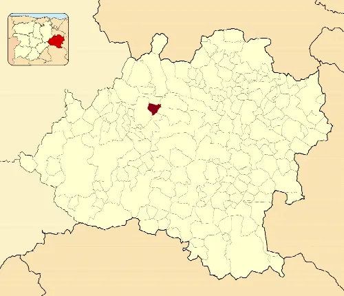
Calatañazor is situated in the comarca of Tierras del Burgo, approximately 31 kilometers from the provincial capital of Soria. The municipality is traversed by the N-122 national road and several local roads, providing access to nearby towns. The landscape is characterized by the valley of the Milanos River, the Sierra de Cabrejas to the north, and the central area known as the páramo de Calatañazor.

Natural reserves
Part of the Reserva Natural Sabinar de Calatañazor

03History

The area has a rich historical background, with roots tracing back to the Arévaca city of Voluce, which existed from the 3rd century BC to the 5th century AD. The name Calatañazor is believed to derive from Arabic, possibly referring to a watchtower. The town is famously linked to the legendary battle of Calatañazor in 1002, where Almanzor was reportedly defeated.

Calatañazor, a historic municipality in Soria, features medieval architecture and a rich cultural heritage.

04Cultural Heritage

Calatañazor's urban structure reflects its medieval past, featuring cobbled streets and traditional houses. The town is surrounded by a robust wall, with a prominent castle and several churches that showcase its historical significance.

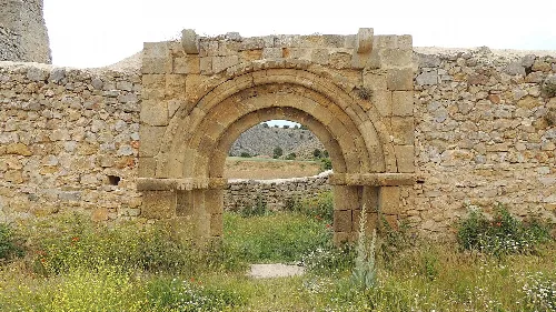
Stone archway of San Juan Church in Calatañazor.
Stone archway of San Juan Church in Calatañazor, with stone wall and greenery in the background.
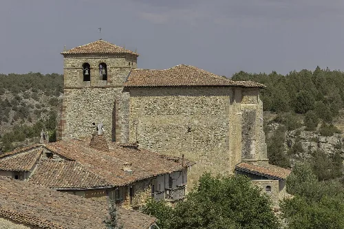
Santa María Church with tower and stone walls in Calatañazor.
Santa María Church in Calatañazor with its tower and stone walls overlooking the medieval village.

05Environment

The municipality is home to unique natural features, including the Sabinares de Calatañazor, which consists of notable juniper forests. These areas are part of the Natura 2000 network, highlighting their ecological importance.

Sabinares area
Approximately 30 hectares.
Riberas del Río Duero
2 hectares.
Juniperus thurifera
Species found in the region.
Calatañazor · Data
Province
Soria
Autonomous community
Castile and León
Population
43
Area
64.82 km²
Elevation
1,059 m
Postal code
42193
Website
http://www.calatanazor.es/
Coordinates
41.6994, -2.8175

Photos

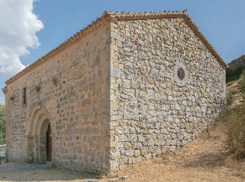
Stone church with arched entrance and circular window in Calatañazor.
The Hermitage of La Soledad in Calatañazor, built of stone with an arched entrance and a small circular window on the wall.
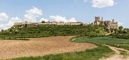
Castle on a hill with fields and a path in the foreground.
Calatañazor castle stands on a hill overlooking Soria's farmland.
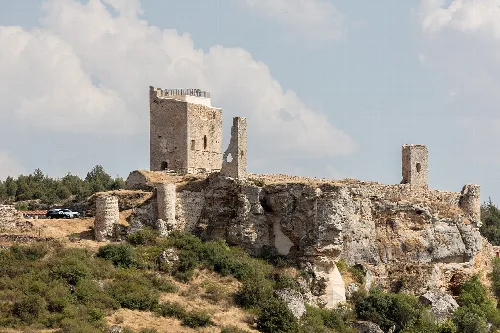
Ruins of a castle in Calatañazor with towers and walls.
Ruins of a castle in Calatañazor with towers and walls on a hilly landscape.
Stone houses with tiled roofs in Calatañazor, Soria.
Traditional houses in Calatañazor with stone walls and tiled roofs, in a historic Soria village.
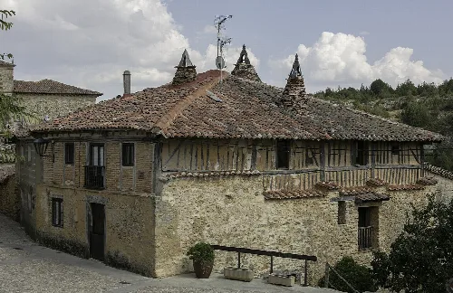
Stone house with red tile roofs and wooden walls in Calatañazor.
Traditional house in Calatañazor with red tile roofs and stone and wood walls.

Frequently asked questions

What is the history behind the name Calatañazor?

The name Calatañazor is believed to derive from the Arabic term Qal`at an-Nusur, meaning 'castle of the eagles'. The town's history is closely tied to its strategic location, which has seen various settlements since the Arévaca city of Voluce, dating back to the Roman period. The name reflects its historical significance as a defensive site.

History
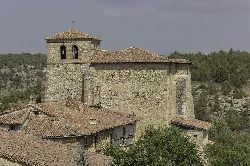
Santa María Church with tower and stone walls in Calatañazor.

What can you tell me about the Iglesia de Nuestra Señora del Castillo?

The Iglesia de Nuestra Señora del Castillo is the main parish church of Calatañazor, featuring a single nave and a bell tower. It has Romanesque origins, with remnants of the original structure still visible. The church houses notable historical artifacts, including a Romanesque baptismal font and a retablo from the 17th century.

Sights Iglesia de Nuestra Señora del Castillo
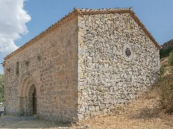
Stone church with arched entrance and circular window in Calatañazor.

What is the significance of the Ermita de la Soledad?

The Ermita de la Soledad is an important church located outside the town, notable for its well-preserved apse and entrance. The structure showcases impressive architectural details, including beautifully carved capitals and a unique exterior archway. It serves as a historical site reflecting the region's religious heritage.

Sights Ermita de la Soledad

How did Calatañazor play a role in the battle involving Almanzor?

Calatañazor is famously linked to the battle in 1002 where Almanzor, the Muslim general, faced defeat. Legend suggests that this battle marked a turning point in the Christian-Muslim conflicts in the region. The phrase 'in Calatañazor, Almanzor lost his drum' symbolizes this significant historical event.

History

What natural attractions are near Calatañazor?

Calatañazor is surrounded by natural beauty, including the Sierra de Cabrejas and the Milanos River valley. The area is part of the Sabinar de Calatañazor, a natural reserve known for its unique juniper forests, which are home to ancient trees that can reach impressive heights and sizes.

Nature

What are the main features of the castle in Calatañazor?

The castle of Calatañazor, dating back to the 14th or 15th century, showcases remnants of its medieval architecture, including a tower and surrounding walls. It was historically significant as the residence of the Padilla family and offers insights into the town's defensive past, with some elements reflecting earlier Arabic construction.

Sights castle

What type of food is typical in Calatañazor?

While specific culinary traditions of Calatañazor are not detailed, the region of Soria is known for its hearty Castilian cuisine. Typical dishes may include roasted meats, regional cheeses, and local wines, reflecting the agricultural heritage of the area.

Food & drink

Are there any local events or festivals in Calatañazor?

Calatañazor hosts various local events, particularly those celebrating its historical heritage. While specific festivals are not mentioned, towns in Soria often celebrate traditional fiestas that include music, food, and cultural activities, especially around religious holidays.

Festivals & events

What is it like to live in Calatañazor?

Living in Calatañazor offers a tranquil lifestyle with a small population of 43 residents. The town's medieval charm, historical significance, and natural surroundings provide a serene environment. However, amenities may be limited due to its size, making it ideal for those seeking a peaceful rural life.

Living there For residents

How can I get to Calatañazor?

Calatañazor is accessible via the N-122 national road, which connects it to nearby towns and the provincial capital of Soria. Local roads also connect it to surrounding areas, making it relatively easy to reach by car. Public transport options may be limited due to its small size.

Getting there

Map

Nearby

Blacos, Soria, Spain
Blacos
Soria · 36 inhabitants
Location map of the municipality of Abejar in Province of Soria, Spain
Abejar
Soria · 287 inhabitants

Own text, written with AI assistance from the facts in Wikipedia · Calatañazor · Data: Wikidata Q829810 · Photos: Wikimedia Commons, see individual licenses. · CC BY-SA 4.0