espana.net
 Diego Delso, CC BY-SA 4.0
Castile and León
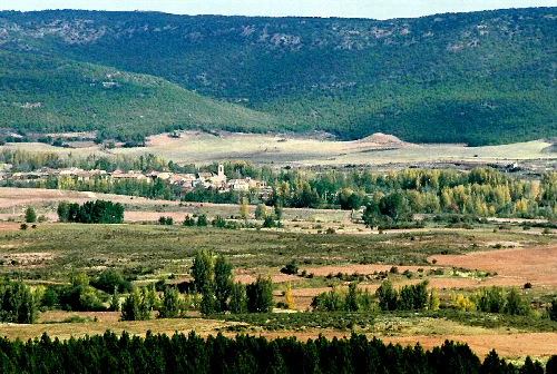
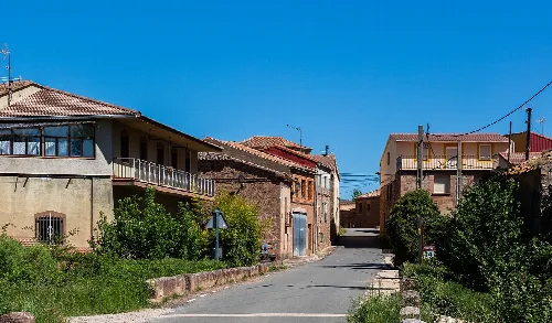
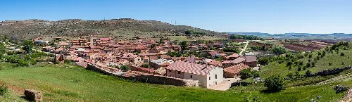
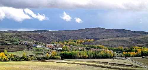
Retortillo de Soria is a municipality located in the province of Soria, within the autonomous community of Castile and León. Characterized by its mountainous terrain and rich historical heritage, it encompasses several small villages and is known for its archaeological significance and natural beauty.
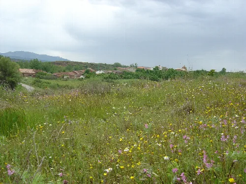
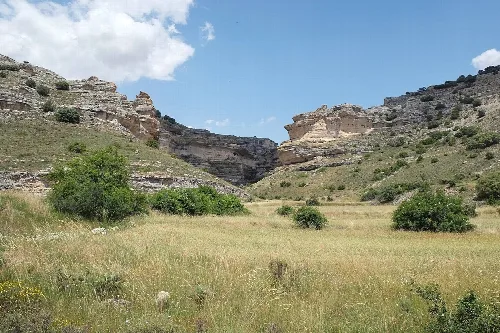
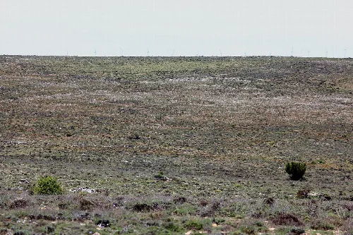
Retortillo de Soria is situated in the southern part of Soria province, on the northern slope of the Sierra de Pela at an elevation of 1241 meters. The municipality includes several villages such as Cañicera, Castro, and Losana, and is traversed by the Talegones River. It lies along the Ruta de la Lana and the Camino del Cid, making it a notable area for hiking and nature observation.
The name Retortillo de Soria derives from the primitive Castilian 'Río Tortiello', meaning 'small twisted river'. The area has been inhabited since ancient times, with evidence of Arévaco settlers and various archaeological finds, including rock engravings and remnants of Roman roads. The municipality has a rich medieval history, having been part of the Community of Atienza and later the Community of Caracena.
Explore Retortillo de Soria, a historic municipality in Castile and León, known for its rich heritage and stunning landscapes.
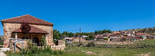
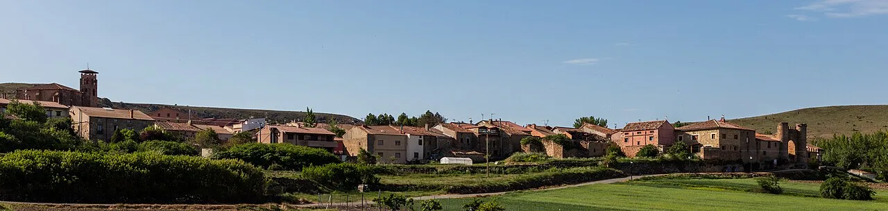
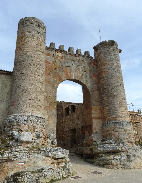
Retortillo de Soria features a variety of historical structures, including a Gothic church dedicated to San Pedro and remnants of a medieval wall. The town's emblematic picota and the preserved sections of the wall reflect its historical significance. The area is also known for its picturesque landscapes and rich biodiversity, making it a unique cultural and natural site.
Own text, written with AI assistance from the facts in Wikipedia · Retortillo de Soria · Data: Wikidata Q837197 · Photos: Wikimedia Commons, see individual licenses. · CC BY-SA 4.0