espana.net
 José Colas, Public domain
Aragon
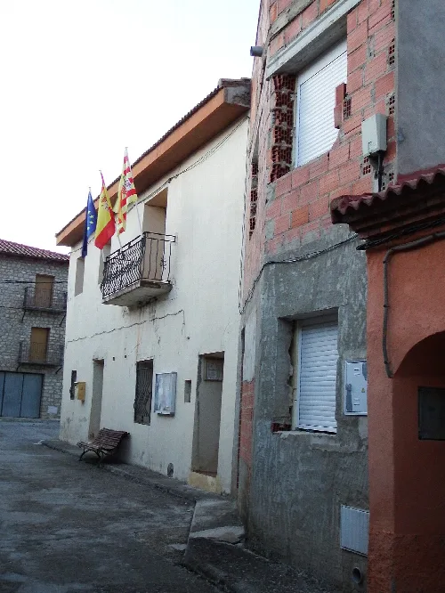
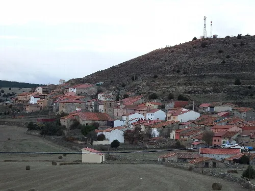
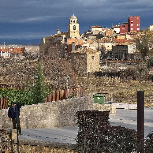
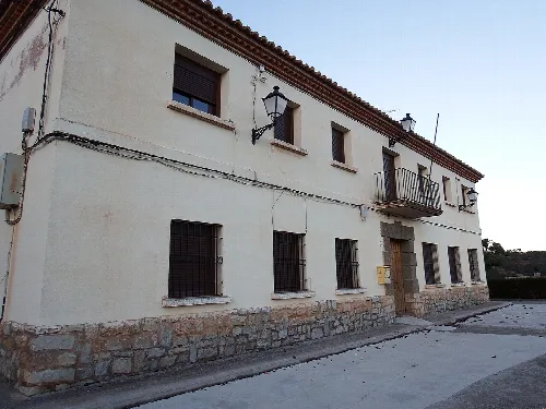
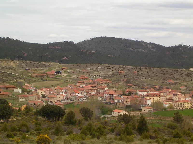
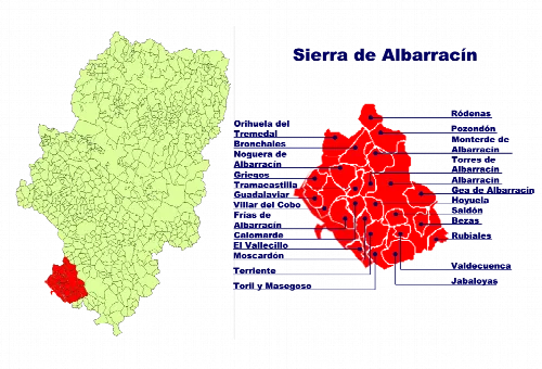
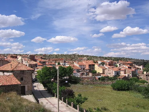
Bezas is a municipality located in the province of Teruel, within the autonomous community of Aragon. Characterized by its natural beauty and historical significance, it is situated in the Sierra de Albarracín region and has a small population of 73 residents.
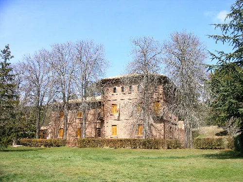
Bezas encompasses an area of 26.32 km² and is accessible via the A-1513 road from Teruel, along with forest tracks from nearby towns. The municipality features the protected landscape of the Pinares de Rodeno, which is known for its scenic beauty and biodiversity. A notable site within the region is the Centro de Interpretación de la Naturaleza del Rodeno, located at the former Casa Forestal de Dornaque.
The origins of Bezas trace back to nearby Las Tajadas, where significant rock paintings can be found. The area became part of the Sesma de Jabaloyas in 1257, under the jurisdiction of the king. Bezas was an outlying village of the city of Azagra until it gained independence as a municipality in 1843. Historical records indicate the presence of inhabitants as early as 1589, with notable events during the Spanish Civil War.
Bezas is a small municipality in Teruel, Aragon, known for its natural beauty and historical significance.
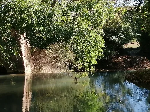
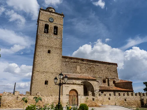
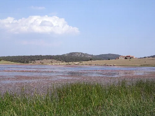
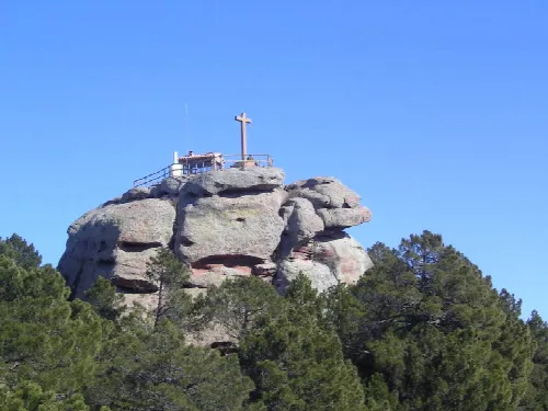
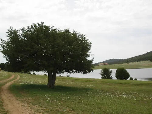
Bezas offers several points of interest, including the 16th-century Church of the Visitación de Nuestra Señora and the Laguna de Bezas, a permanent freshwater lagoon. The area is also home to the Centro de Interpretación de la Naturaleza del Rodeno, which provides educational resources about the local environment. Additionally, visitors can explore ancient rock paintings and the scenic Peña La Cruz.
Own text, written with AI assistance from the facts in Wikipedia · Bezas · Data: Wikidata Q1651630 · Photos: Wikimedia Commons, see individual licenses. · CC BY-SA 4.0