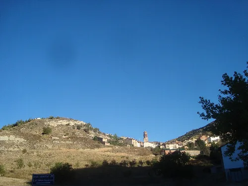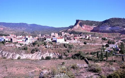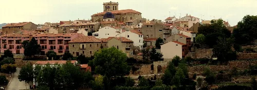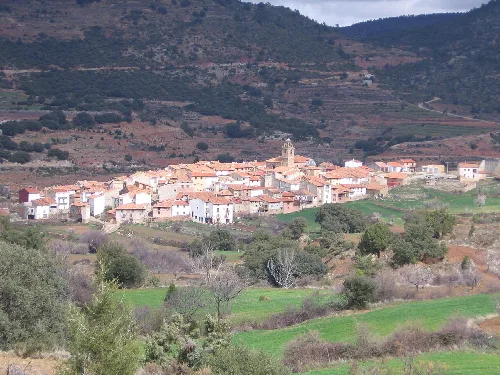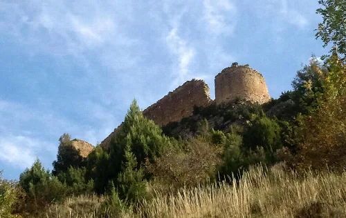
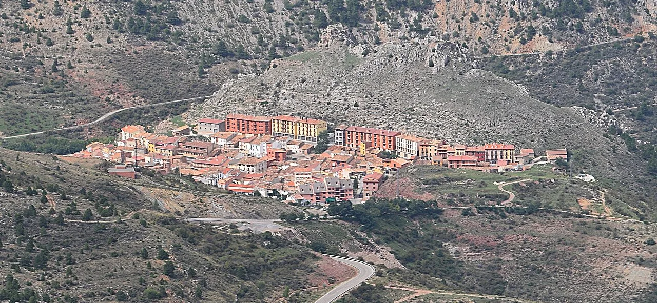
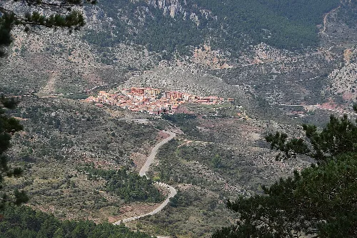
View of the town of Camarena de la Sierra in a mountainous area. Marcela Escandell, en Flickr, CC BY-SA 2.0

Camarena de la Sierra

Aragon

137Population
79.54 km²Area
1,294 mElevation
44459Postal code

Camarena de la Sierra is a municipality located in the province of Teruel, within the autonomous community of Aragon. Characterized by its mountainous terrain and rich natural resources, it offers a blend of outdoor activities and historical sites.

02Geography

Camarena de la Sierra is situated at an elevation of 1294 meters in a valley formed by the river Camarena. The municipality spans an area of 79.54 km² and is bordered by several other municipalities. The region is known for its mountainous landscape, with notable peaks such as Javalambre and Chaparrosa, and features over a hundred springs and two rivers that contribute to the local ecosystem.

Distance to Teruel
28 km
Climate
Mediterranean mountain climate
Average annual precipitation
635.3 mm
Average annual temperature
8.5 °C
Average temperature in January
1 °C
Average temperature in August
18.5 °C

03History

Originally known simply as Camarena, the municipality was renamed Camarena de la Sierra in 1916 to distinguish it from a similarly named town in Toledo. This change reflects its geographical identity and heritage.

Discover Camarena de la Sierra, a picturesque municipality in Teruel, Aragon, known for its natural beauty and historical heritage.

04Tourism and Economy

The local economy has shifted from traditional agriculture and livestock to tourism-related activities. The area features a mountain refuge, rural tourism accommodations, and various shops. The presence of a spa with therapeutic waters has historically attracted visitors, particularly from Valencia.
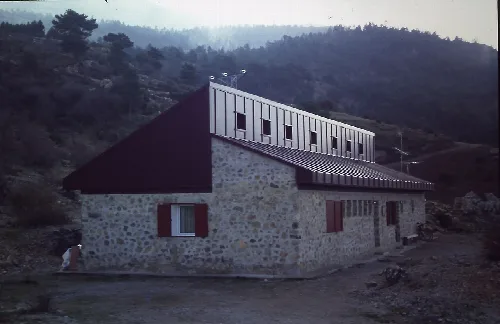
Modern building with stone walls in Camarena de la Sierra.
Refugi Rabadà i Navarro in Camarena de la Sierra, featuring a modern structure in a mountainous setting.
View of a town on a mountain slope with a winding road.
Panoramic view of Camarena de la Sierra in the mountains of Teruel, with a winding road in the foreground.
Camarena de la Sierra · Data
Province
Teruel
Autonomous community
Aragon
Population
137
Area
79.54 km²
Elevation
1,294 m
Postal code
44459
Website
http://www.camarenadelasierra.es
Coordinates
40.1481, -1.0408

Photos

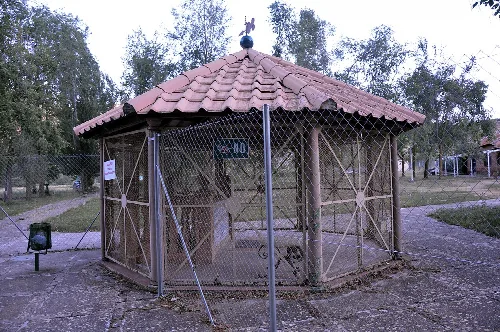
Fountain at the Camarena de la Sierra Spa, surrounded by a metal fence.
A fountain structure at the Camarena de la Sierra Spa, surrounded by a metal fence.
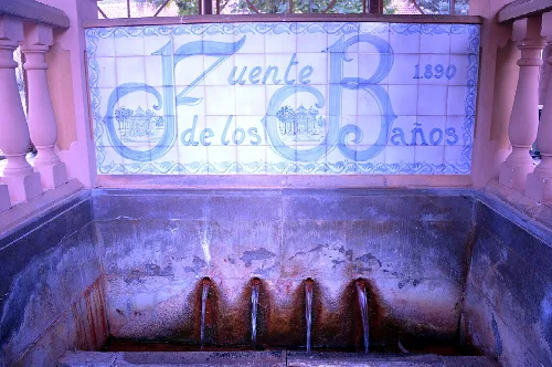
Ceramic ceiling detail at the Fuente de los Baños in Camarena de la Sierra with the inscription 1890.
Ceramic ceiling detail at the Fuente de los Baños in Camarena de la Sierra, with the year 1890 inscribed.
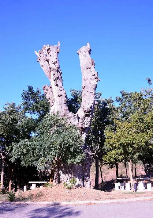
Dry elm tree with cut branches and thick trunk in Camarena de la Sierra.
Old dry elm tree in Camarena de la Sierra with cut branches and a thick trunk under a blue sky.
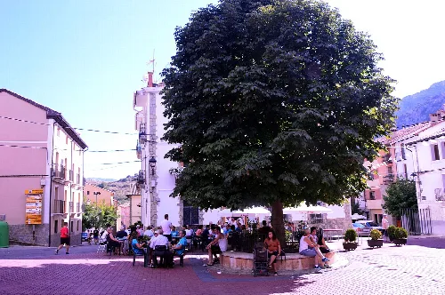
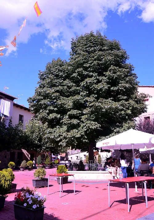
Square with large tree and people on benches in Camarena de la Sierra.
Camarena de la Sierra's Plaza Mayor with a horse chestnut tree in the center and people sitting on benches.
Large tree in the main square of Camarena de la Sierra with tables and people.
Urban landscape of Camarena de la Sierra with a horse chestnut tree in the main square.

Map

Nearby

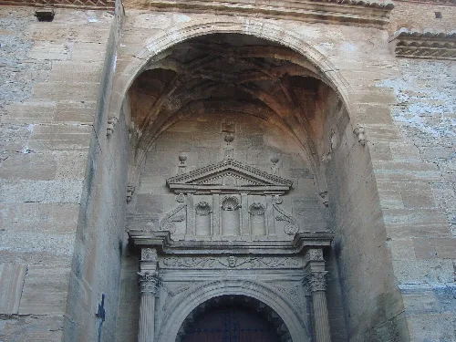
Iglesia de la Asunción
Cubla
Teruel · 56 inhabitants
Houses and mountains in Riodeva, Teruel.
Riodeva
Teruel · 113 inhabitants

Own text, written with AI assistance from the facts in Wikipedia · Camarena de la Sierra · Data: Wikidata Q983675 · Photos: Wikimedia Commons, see individual licenses. · CC BY-SA 4.0