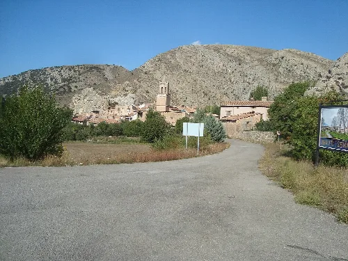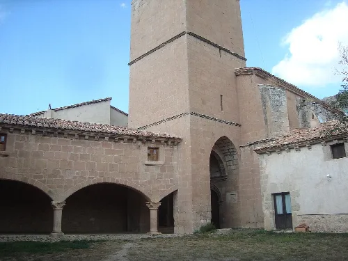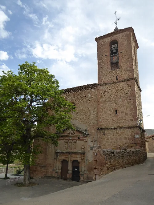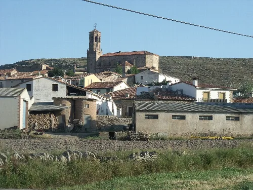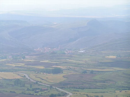
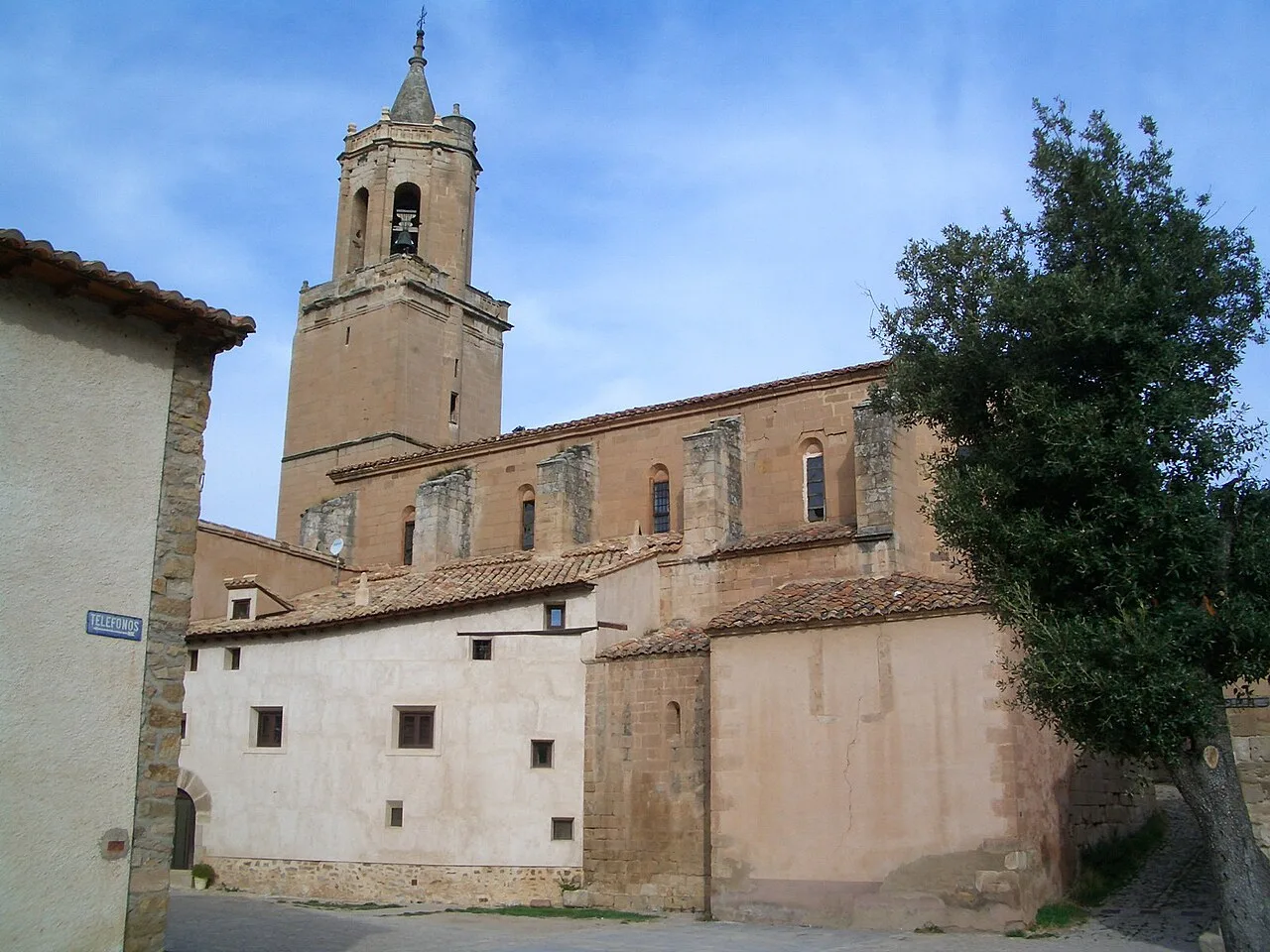
Church of Miravete de la Sierra with tower and stone facade. Qllach, CC BY-SA 3.0

Miravete de la Sierra

Aragon

31Population
36.51 km²Area
1,218 mElevation
44159Postal code

Miravete de la Sierra is a small municipality located in the province of Teruel, within the autonomous community of Aragon. Characterized by its rich history and picturesque landscapes, it is nestled at the foot of the Sierra de Lastra and near the Guadalope River.

02Geography

Miravete de la Sierra is situated in the province of Teruel, at the base of the Sierra de Lastra, part of the Iberian System. The village lies near the Sierra de Gúdar and is surrounded by notable landmarks such as the Monte de San Cristóbal and its namesake hermitage. The area is characterized by its proximity to the upper course of the Guadalope River, which provides a scenic backdrop.

Patron saint
San Cristóbal

03History

The origins of Miravete de la Sierra can be traced back to ancient times, with archaeological findings indicating habitation during the Iron Age and Iberian period. The village was reconquered from the Moors by Alfonso I and later became part of various feudal holdings, ultimately transitioning to municipal governance in the 19th century.

Discover Miravete de la Sierra, a tranquil municipality in Teruel, Aragon, known for its rich history and unique charm.

04Cultural Heritage and Events

Miravete de la Sierra features a charming urban center with traditional architecture and several historical buildings recognized as cultural heritage. Key sites include the medieval bridge, the Church of Nuestra Señora de las Nieves, and the Baroque hermitage of San Cristóbal.
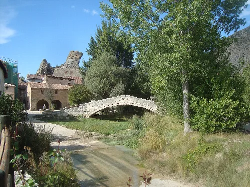
Stone bridge and trees in Miravete de la Sierra.
Stone bridge over a river, surrounded by trees and houses in Miravete de la Sierra, Teruel.
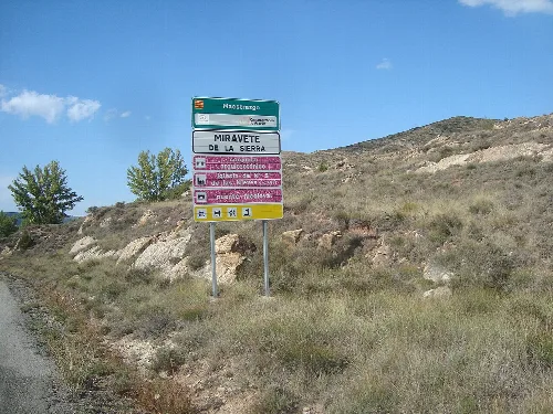
Tourist signpost in Miravete de la Sierra with multiple directions.
Tourist signage in Miravete de la Sierra with directions to points of interest and services.
Miravete de la Sierra · Data
Province
Teruel
Autonomous community
Aragon
Population
31
Area
36.51 km²
Elevation
1,218 m
Postal code
44159
Website
http://www.elpuebloenelquenuncapasanada.com/
Coordinates
40.5771, -0.6940

Photos

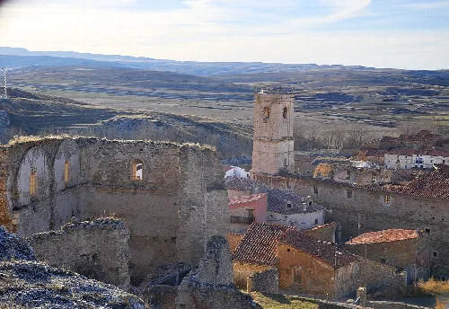
Houses and a church in Miravete de la Sierra surrounded by mountains.
View of Miravete de la Sierra with houses and a church in a mountainous setting.
Church with tower and stone arches in Miravete de la Sierra.
Church of Our Lady of the Snows in Miravete de la Sierra, with its tower and stone arches.
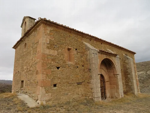
Stone church with an arch entrance and bell tower in Miravete de la Sierra.
Rural chapel of San Cristóbal in Miravete de la Sierra, built of stone with an arched entrance and a bell tower at the top.
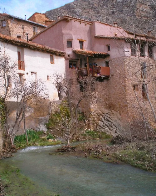
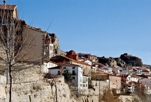
Stone and wooden houses on the hillside beside the Guadalope River in Miravete de la Sierra.
Traditional houses built on the hillside beside the Guadalope River in Miravete de la Sierra, Teruel.

Map

Nearby

Iglesia de la Asunción en Jorcas
Jorcas
Teruel · 42 inhabitants
Houses and church on the hill of Allepuz, Teruel.
Allepuz
Teruel · 123 inhabitants
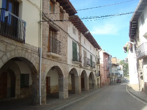
Streets with stone arches and old buildings in Aliaga.
Aliaga
Teruel · 344 inhabitants

Own text, written with AI assistance from the facts in Wikipedia · Miravete de la Sierra · Data: Wikidata Q549945 · Photos: Wikimedia Commons, see individual licenses. · CC BY-SA 4.0