espana.net
 Unknown author, CC BY-SA 3.0
Aragon
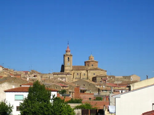
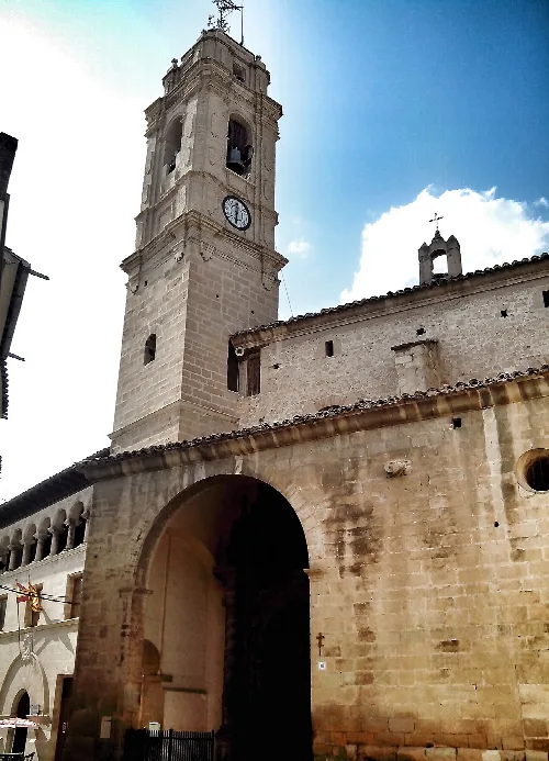
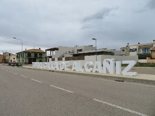
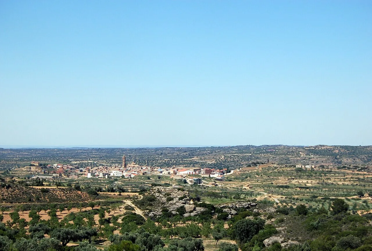
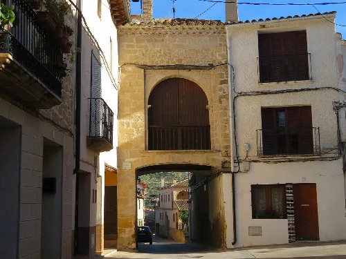
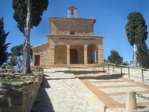
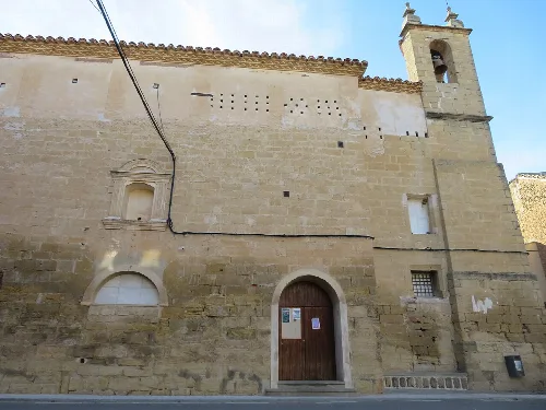
Valdealgorfa is a municipality located in the province of Teruel, within the autonomous community of Aragon. Characterized by its rich history and cultural heritage, it features notable sites such as the Centro Expositivo 'Pardo Sastrón' and the unique Túnel del equinoccio.
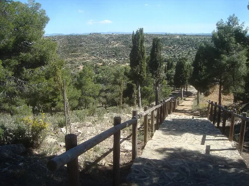
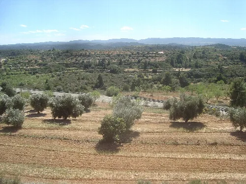
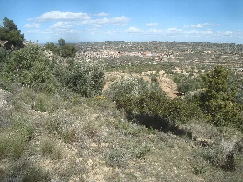
Valdealgorfa is situated in the Bajo Aragón comarca, approximately 161 kilometers from the provincial capital. The municipality is traversed by major national roads, including the N-232 and N-420, which connect Alcañiz to Valdealgorfa. The terrain is characterized by irregular relief, with altiplanos and numerous streams belonging to the Guadalope basin.
The origins of Valdealgorfa trace back to the Islamic period, as suggested by the etymology of its name. Following the Christian conquest in the 12th century, the area was repopulated under the authority of Alcañiz. Valdealgorfa gained autonomy in the 17th century, separating from Alcañiz through a concord ratified by Felipe IV.
Explore Valdealgorfa, a historic municipality in Teruel, Aragon, known for its cultural sites and unique natural phenomena.
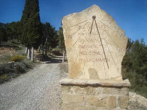
Valdealgorfa hosts several cultural events and landmarks. The Centro Expositivo 'Pardo Sastrón' showcases traditional clothing and historical documents. The municipality also celebrates various festivals throughout the year, including the patronal festivities in September and the unique Túnel del equinoccio, which attracts interest for its solar alignment during equinoxes.
Own text, written with AI assistance from the facts in Wikipedia · Valdealgorfa · Data: Wikidata Q1651175 · Photos: Wikimedia Commons, see individual licenses. · CC BY-SA 4.0