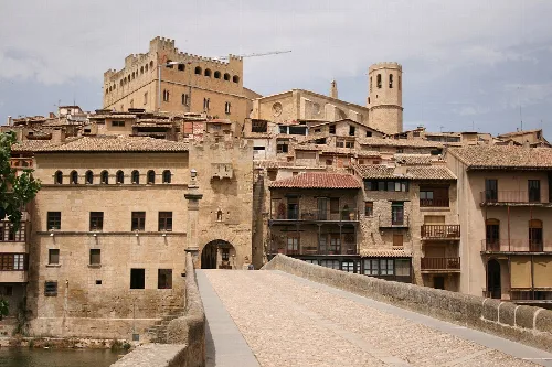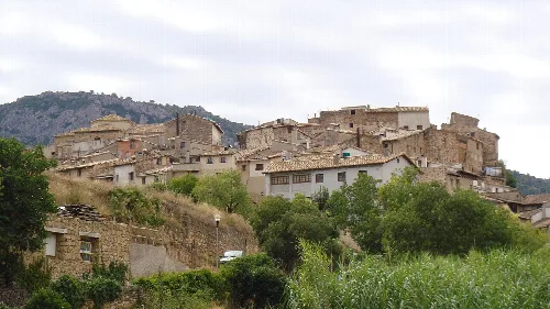
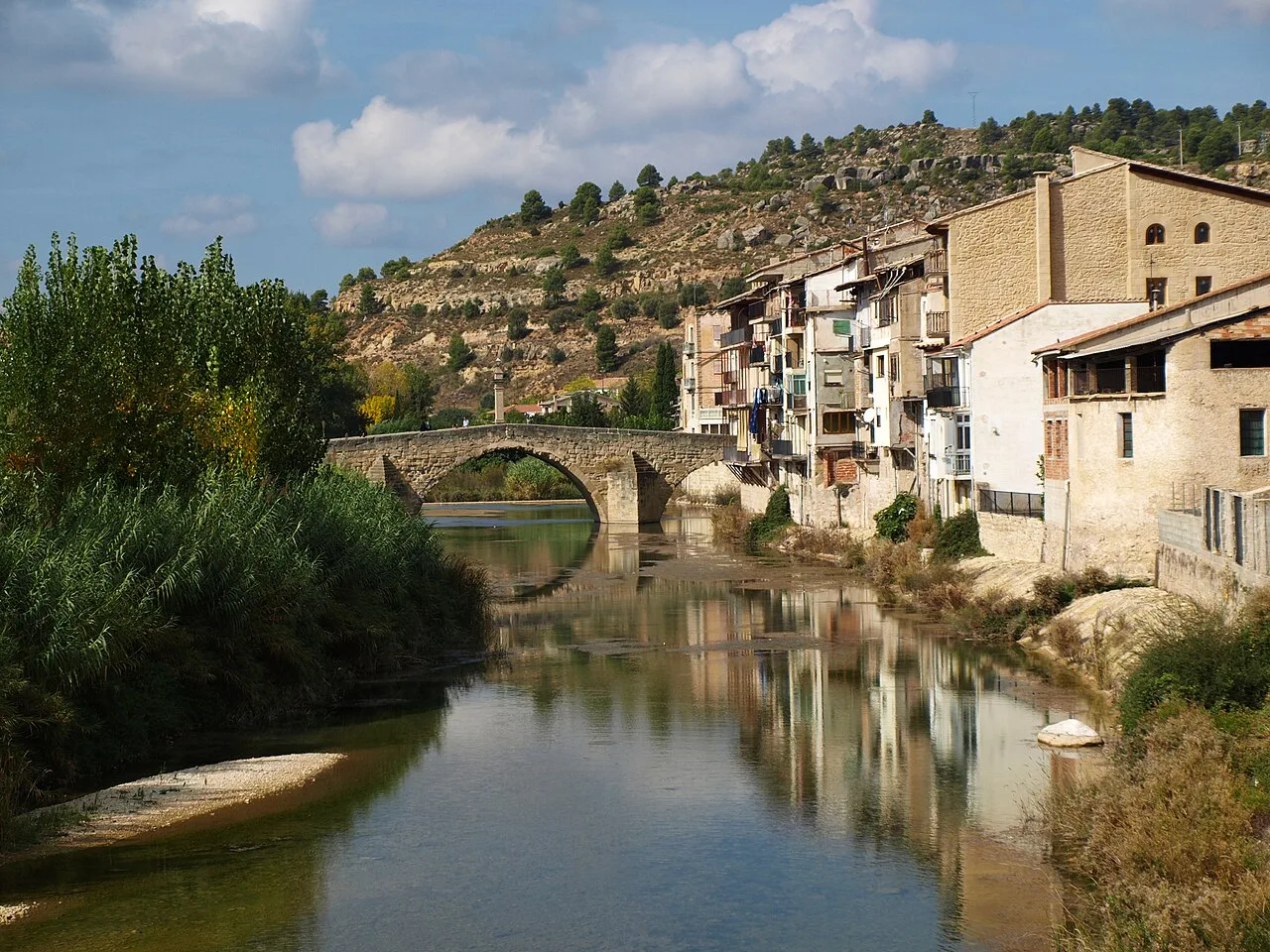
Matarraña River with houses and stone bridge in Valderrobres. Olisacu, CC BY-SA 4.0

Valderrobres

Aragon

2,555Population
124.04 km²Area
51 mElevation
44580Postal code

Valderrobres is a municipality located in the province of Teruel, Aragon, known for its rich history and picturesque landscapes. Nestled on a hill by the Matarraña River, it features notable medieval architecture and a vibrant cultural scene.

02Geography

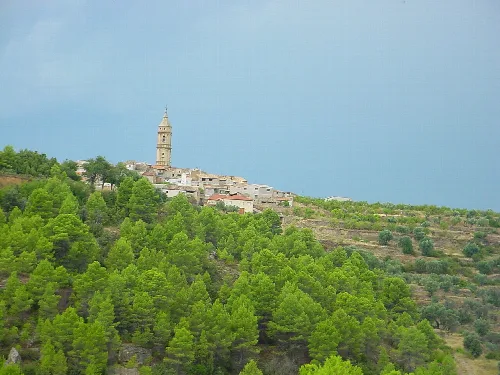
Valderrobres is situated on a hill overlooking the Matarraña River, surrounded by high mountains and pine forests. One of the prominent geographical features is Peña Aznar, a table-shaped mountain that rises to 1014 meters, which is a distinctive landmark visible from various points in the area.

Patron saint
San Antón
Main festival
San Antón, January 17
Language
Catalan dialect

03History

Valderrobres has a deep historical background, with numerous archaeological sites indicating a significant Iberian presence. The town's history includes notable events such as the Reconquista, which took place between 1165 and 1170, and the establishment of various feudal ties throughout the centuries.

Valderrobres, a historic municipality in Teruel, Aragon, features medieval architecture and rich cultural traditions.

04Cultural Heritage

Valderrobres boasts a rich architectural heritage, including a medieval bridge and several historic buildings. The town's castle, which dominates the skyline, is a national monument and a symbol of its historical significance.
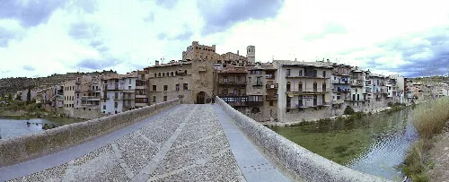
Panoramic view of Valderrobres from the bridge over the Matarraña river.
Panoramic view of Valderrobres from the bridge over the Matarraña river, with San Roque gate and Santa Maria la Mayor church in the background.
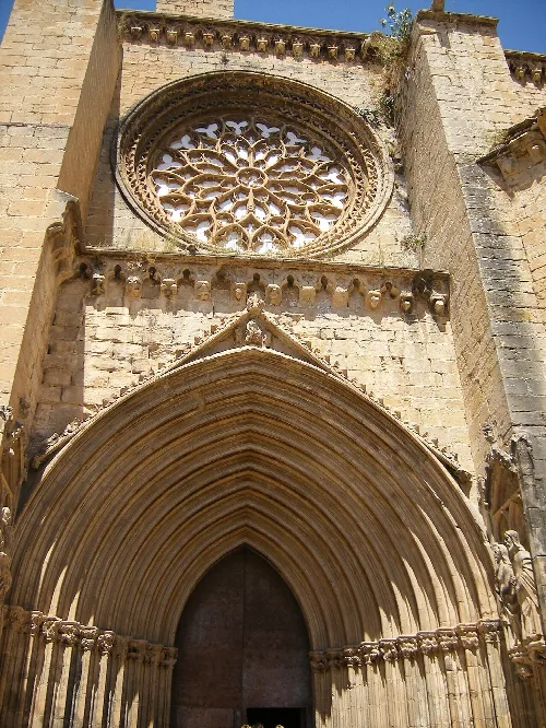
Rose window and entrance arch of the church in Valderrobres
Gothic rose window and entrance of Santa María la Mayor church in Valderrobres

05Festivals and Traditions

Valderrobres celebrates several local festivals, with San Antón being the most significant. This festival, held on January 17, features a large bonfire and is a time for community gatherings and animal blessings.
Valderrobres · Data
Province
Teruel
Autonomous community
Aragon
Population
2,555
Area
124.04 km²
Elevation
51 m
Postal code
44580
Website
http://www.valderrobres.es/
Coordinates
40.8833, 0.1500

Photos

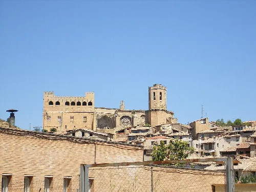
Castle and church on a hill in Valderrobres
View of the castle and Santa María la Mayor church in Valderrobres, Teruel
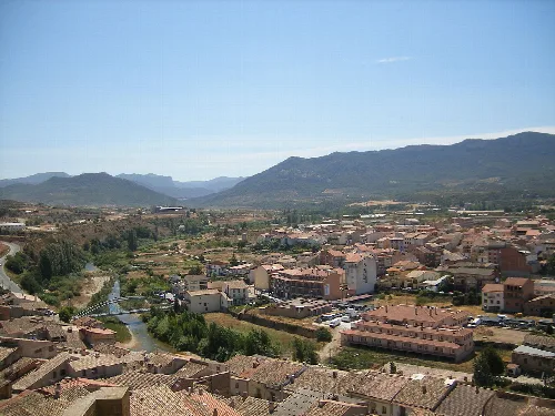
Panoramic view of Valderrobres with river and mountains.
View of Valderrobres from its castle, showing the river and town with mountains in the background
Old houses and a castle in Valderrobres.
Panoramic view of Valderrobres with its castle and old houses by the river.
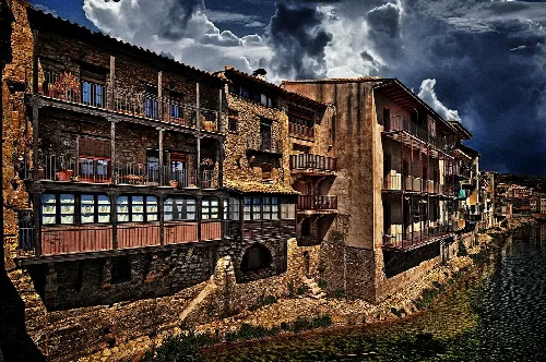
Stone and wooden buildings beside the river in Valderrobres.
Traditional houses of Valderrobres along the Matarraña river with a cloudy sky.
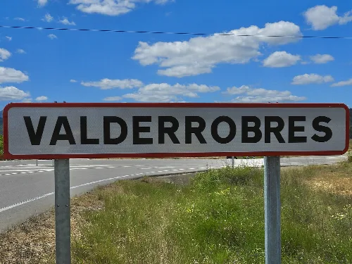
Valderrobres city limit sign with blue sky and clouds.
Valderrobres city limit sign with blue sky and white clouds.

Map

Nearby

Panoramic view of Beceite with stone houses and greenery.
Beceite
Teruel · 572 inhabitants
Square with stone buildings, a monument in the center, and flags on one side.
Cretas
Teruel · 559 inhabitants
Façana de l'església d'Arnes


This is a photo of a building listed in the Catalan heritage register as Bé Cultural d'Interès Local (BCIL) under the reference IPA-11646.
Arnes
Tarragona · 461 inhabitants

Own text, written with AI assistance from the facts in Wikipedia · Valderrobres · Data: Wikidata Q1641285 · Photos: Wikimedia Commons, see individual licenses. · CC BY-SA 4.0