espana.net
 Nachosan, CC BY-SA 3.0
Castilla–La Mancha
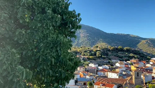
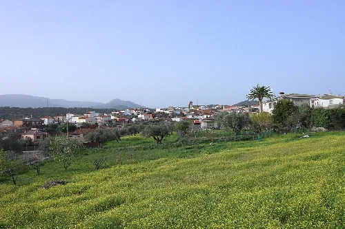
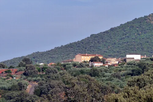
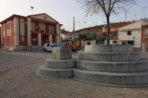
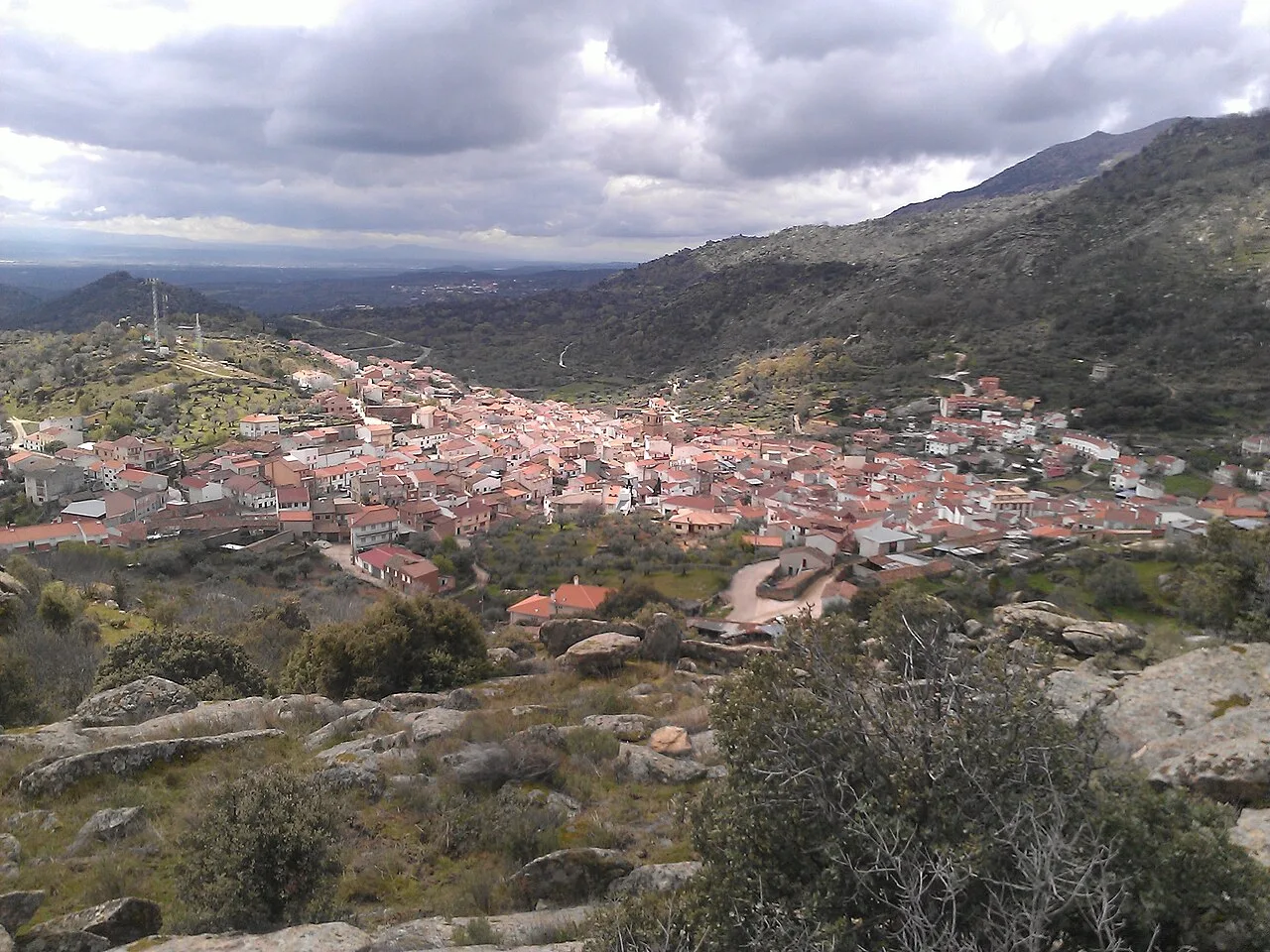
El Real de San Vicente is a municipality located in the province of Toledo, within the autonomous community of Castilla–La Mancha. Nestled in the Sierra de San Vicente, it is characterized by its rich historical heritage and scenic landscapes.
El Real de San Vicente is situated in the Sierra de San Vicente at an elevation of 751 meters above sea level. The municipality shares borders with several towns, including Fresnedilla and Higuera de las Dueñas in the province of Ávila, as well as Pelahustán, Garciotum, Castillo de Bayuela, Hinojosa de San Vicente, Navamorcuende, Almendral de la Cañada, and La Iglesuela del Tiétar in Toledo.
The area has a rich historical significance, evidenced by numerous Vetton stelae, Celtic crosses, and pre-Roman verracos. It was known for its resistance against Roman forces, with Viriato famously fighting in these mountains. During the Reconquista, the region saw frequent battles, leading to its eventual incorporation into the Community of Villa and Tierra of Ávila.
Explore El Real de San Vicente, a historic municipality in Toledo, Castilla–La Mancha, known for its cultural heritage and natural beauty.
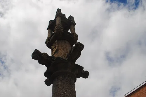
El Real de San Vicente boasts several notable heritage sites, including the 17th-18th century Church of Santa Catalina, which features Baroque architecture and significant sculptures. Other sites include the Ermita de San Nicasio, the historic Molinos de la Tejea, and the Fuente de los Veneruelos, a 17th-century fountain.
Own text, written with AI assistance from the facts in Wikipedia · El Real de San Vicente · Data: Wikidata Q542936 · Photos: Wikimedia Commons, see individual licenses. · CC BY-SA 4.0