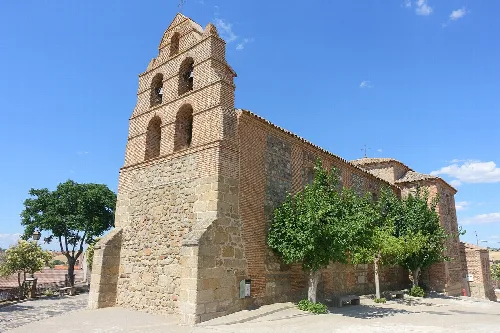
What is the history behind the name Los Navalucillos?
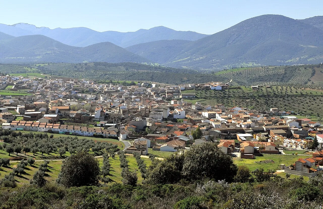
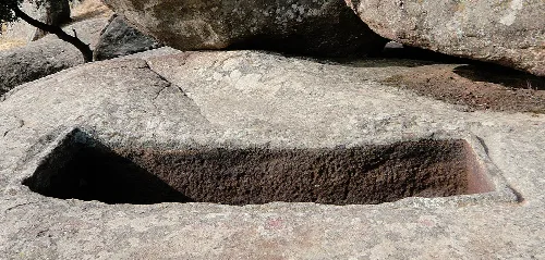
The name Los Navalucillos combines 'nava' and 'lucillos,' meaning 'plain of the tombs.' This relates to two groups of sepulchers found in the area, one from the Visigoth era. The town's name reflects its historical roots, with the plural form arising from the 1833 merger of two towns: Navalucillos de Toledo and Navalucillos de Talavera.
History
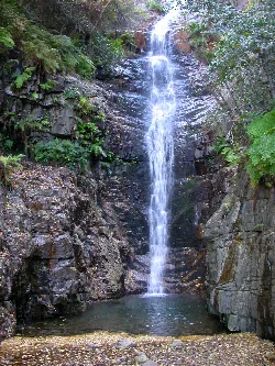
What can you tell me about the Ruta del Chorro?
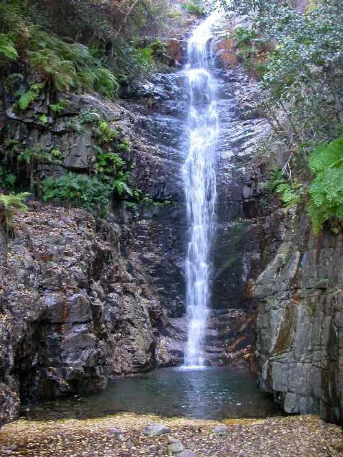
The Ruta del Chorro is a scenic trail located within the Parque Nacional de Cabañeros, near Los Navalucillos. It features beautiful natural landscapes, including the stunning waterfall of Chorro, which is fed by the Pusa River. This route is popular for hiking and enjoying the diverse flora and fauna of the national park.
Nature
Ruta del Chorro
What are some traditional foods from Los Navalucillos?
Los Navalucillos is known for its rich gastronomy, featuring game meat such as venison, as well as dishes made from pork, like morcillas and chorizos. Local specialties include pisto manchego, gazpacho, and various stews. Desserts like puches with honey are also popular, showcasing the region's agricultural heritage.
Food & drink
What is the significance of the Ermita de Nuestra Señora de las Saleras?
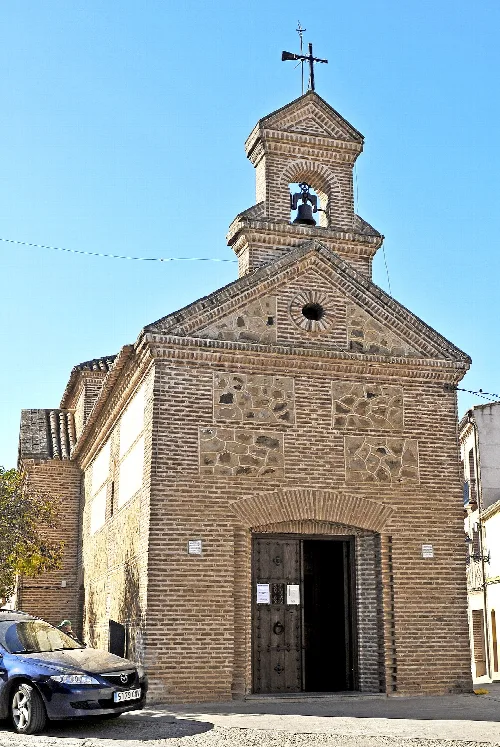
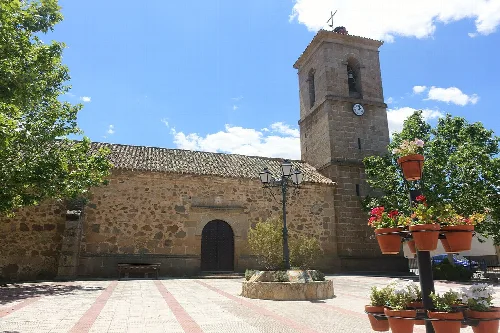
The Ermita de Nuestra Señora de las Saleras, built in 1632, is an important religious site in Los Navalucillos. Constructed in brick and masonry, it features a Latin cross layout and has undergone complete restoration while maintaining its original structure. It serves as a cultural landmark reflecting the town's historical architecture.
Sights
Ermita de Nuestra Señora de las Saleras
What activities are available during the Feria de Turismo Rural Rocigalgo?
During the Feria de Turismo Rural Rocigalgo, held in early August, visitors can enjoy various activities such as hiking tours through the Montes de Toledo and Parque Nacional de Cabañeros. The event also features gastronomic days and tapas tastings, showcasing local cuisine and promoting rural tourism.
Festivals & events
Feria de Turismo Rural Rocigalgo
What are the main agricultural products in Los Navalucillos?
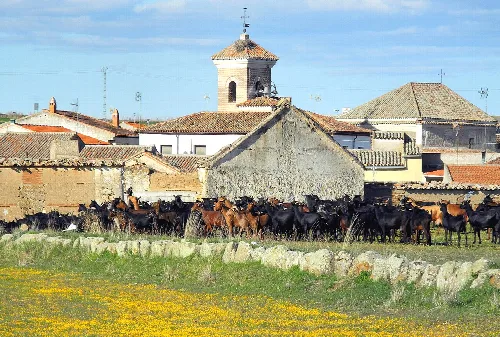
In Los Navalucillos, agriculture plays a significant role, with olive oil production being a primary focus. The region also cultivates vegetables like tomatoes, garlic, and pumpkins, which are used in traditional dishes. The local economy is supported by these agricultural practices, alongside tourism and services.
Living there
For residents
What is the climate like in Los Navalucillos?
Los Navalucillos experiences a Mediterranean continental climate, characterized by significant rainfall, making it one of the rainiest towns in Toledo. Average annual temperatures hover around 14.4 °C, with highs of 25.3 °C in July and lows of 5.7 °C in January. April is the wettest month, receiving about 72 mm of rain.
Nature
What is the Plaza de toros in Los Navalucillos used for?
The Plaza de toros, built in 1919, is a bullring that hosts traditional bullfighting events during local festivities. With a capacity for around 1,000 spectators, it remains a cultural hub for the community, surrounded by a public park, and continues to be utilized for celebrations throughout the year.
Sights
Plaza de toros
What are the main transportation options to get to Los Navalucillos?
Los Navalucillos is accessible primarily via the CM-4155 road, which connects to major cities in the region. There is also a bus service that links the town to important urban centers like Madrid, Toledo, and Talavera de la Reina, making it convenient for visitors and residents alike.
Getting there
For residents
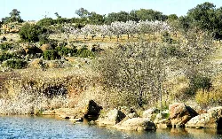
What kind of natural landscapes can I expect to see around Los Navalucillos?
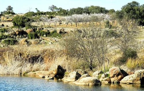
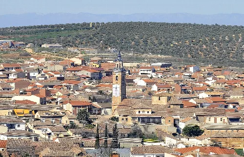
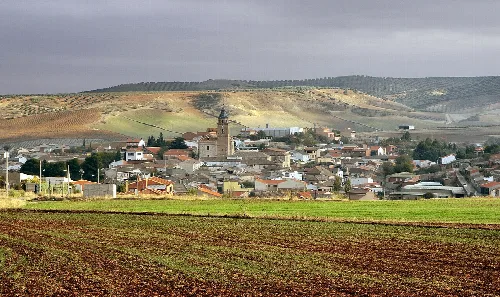
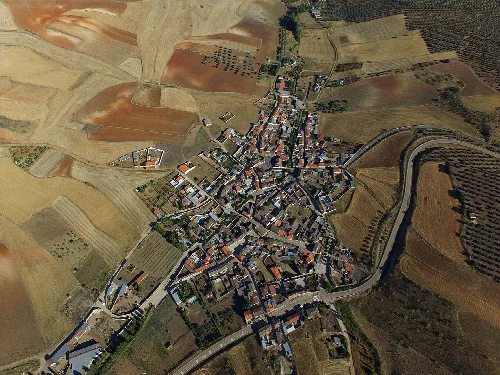
Surrounding Los Navalucillos are diverse natural landscapes, including rolling hills and fertile valleys. The area features olive groves and fields, particularly near the Pusa River, which adds to the scenic beauty. The proximity to Parque Nacional de Cabañeros enhances the region's ecological richness and opportunities for outdoor activities.
Nature
 espana.net