espana.net
 Juandetorres, CC BY-SA 3.0 es
Valencian Community
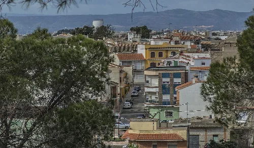
Corbera is a municipality located in the Valencian Community of Spain, within the province of Valencia. It is characterized by its agricultural economy and historical heritage, including remnants of its medieval past.
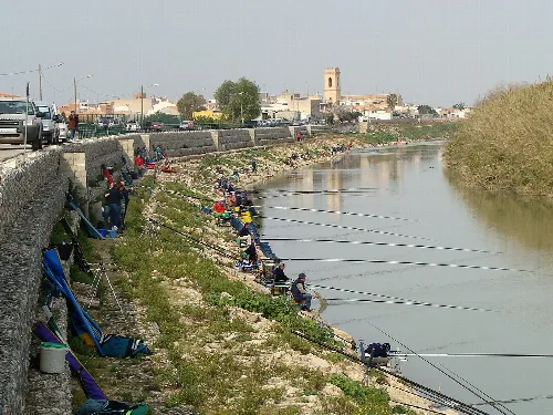
Corbera is situated on the right bank of the Júcar River, nestled against the northern slopes of the Sierra de Corbera. The southern part of the municipality is mountainous, featuring the Cavall Bernat peak, while the northern area is predominantly flat, except for the Montañeta de San Miguel, which has visible ruins of a former monastery. The region is served by the Acequia de los Cuatro Pueblos irrigation system.
The earliest evidence of human occupation in Corbera dates back to the Metal Ages, with significant archaeological finds from the Eneolithic period. The town was conquered by Jaime I in 1248, leading to the establishment of homes around the castle. Over the centuries, it changed hands among various noble families, and in the late 20th century, it officially dropped the name Corbera de Alcira.
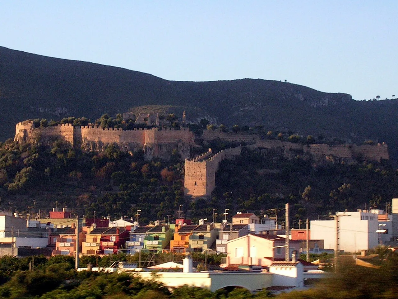
Corbera is a municipality in Valencia, known for its agricultural economy and historical sites like the Castillo de Corbera.
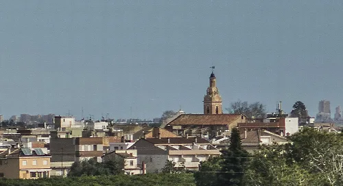
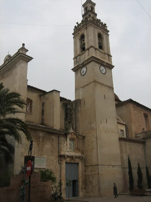
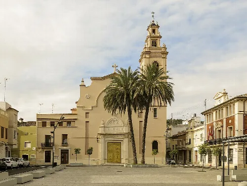
Corbera's economy is primarily based on irrigated agriculture, with crops such as rice, oranges, potatoes, corn, and vegetables. Livestock farming, particularly sheep, is also present. The municipality is home to several historical sites, including the Church dedicated to the Santos Vicentes and the Castillo de Corbera, which offers a glimpse into its medieval past.
Own text, written with AI assistance from the facts in Wikipedia · Corbera · Data: Wikidata Q2045828 · Photos: Wikimedia Commons, see individual licenses. · CC BY-SA 4.0