espana.net
 Ydelpico, CC BY 3.0
Castile and León
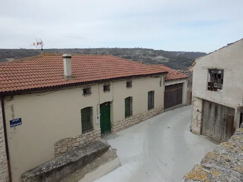
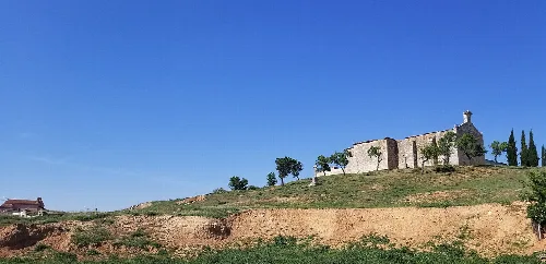
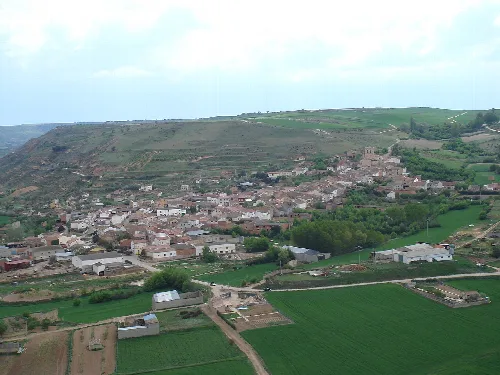
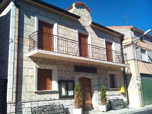
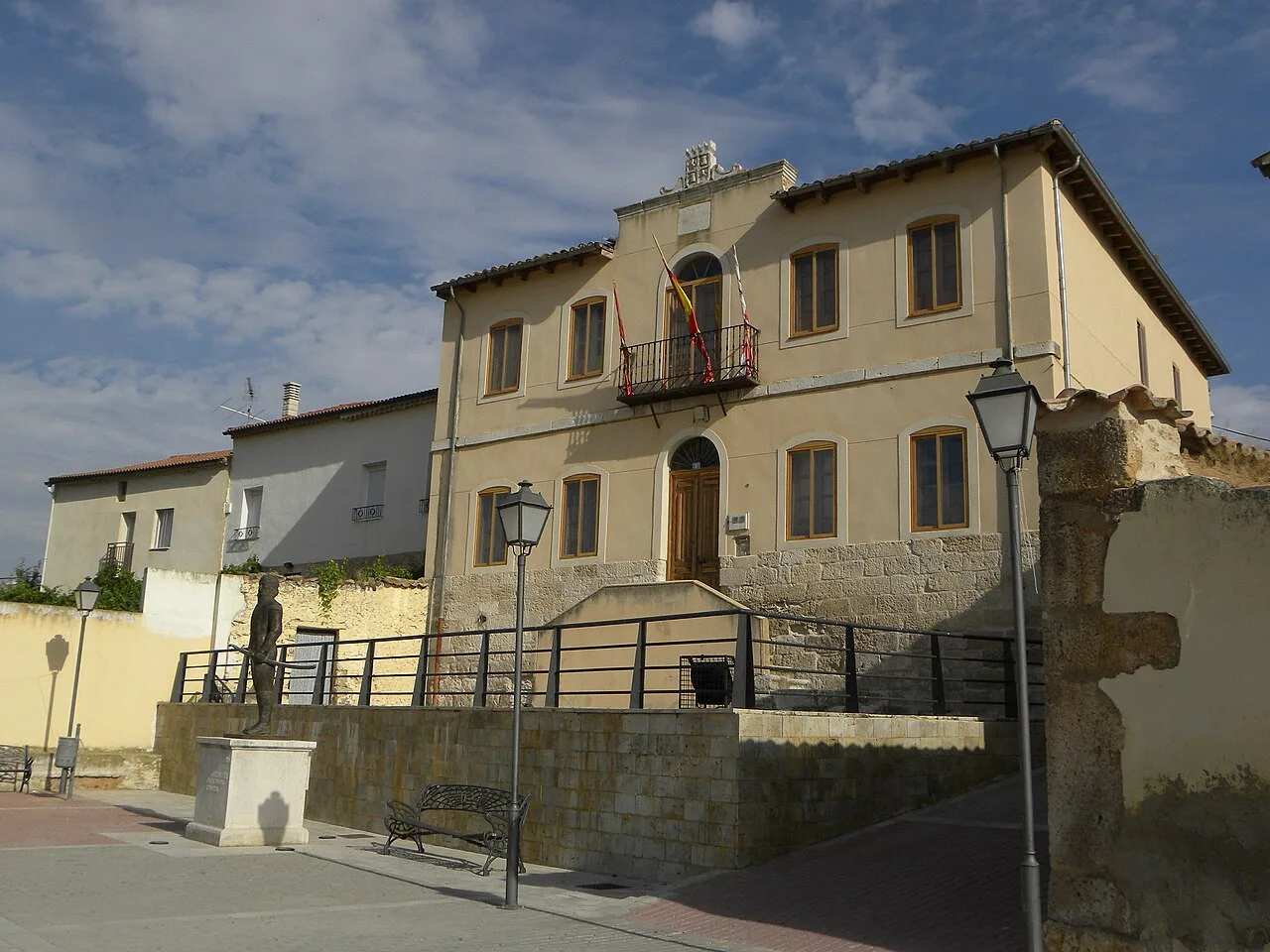
Castrillo de Duero is a municipality in the province of Valladolid, Castile and León, characterized by its rich history and natural landscapes. Nestled on a hillside near the Duero River, it features notable architecture and cultural traditions.
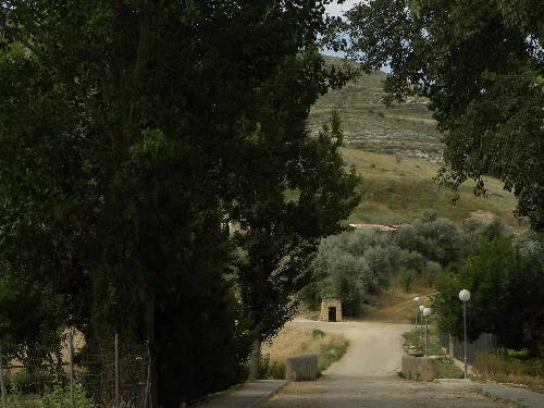
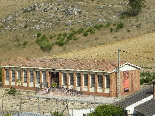
Castrillo de Duero spans an area of 25.77 km² and is situated at an elevation of 818 m. It is located at the eastern edge of Valladolid province, bordering Segovia, and features a varied landscape that includes flat areas and isolated plateaus. The municipality is traversed by the N-122 national road, connecting it to nearby towns.
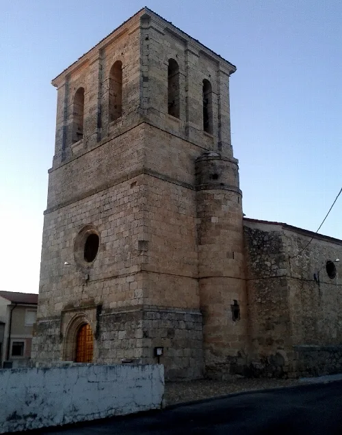
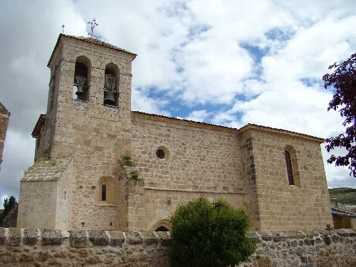
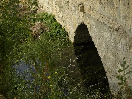
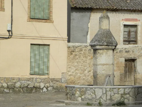
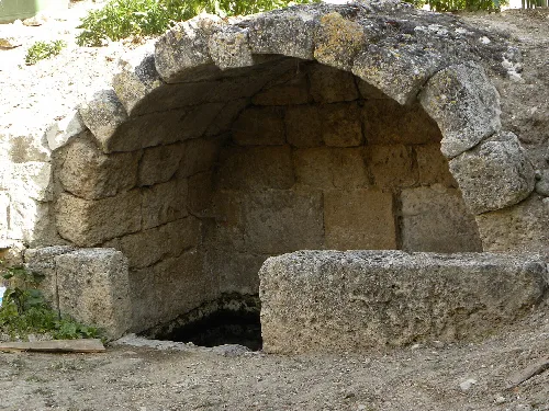
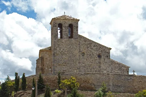
Historically, Castrillo de Duero had a population of 505 in the mid-19th century. The municipality is home to the Church of Nuestra Señora de la Asunción, which features a Romanesque apse from the 12th century and a Baroque structure from the 17th century. Additionally, remnants of Roman architecture, including a possible Roman bridge and two ancient fountains, highlight its historical significance.
Castrillo de Duero is a historic municipality in Valladolid, known for its architecture and cultural traditions.
Castrillo de Duero hosts several annual festivals that reflect its cultural heritage. These events include religious celebrations, traditional agricultural practices, and historical reenactments, drawing on the community's rich traditions and local history.
Own text, written with AI assistance from the facts in Wikipedia · Castrillo de Duero · Data: Wikidata Q1983245 · Photos: Wikimedia Commons, see individual licenses. · CC BY-SA 4.0