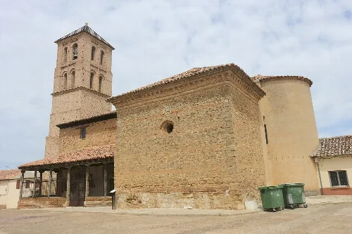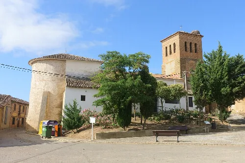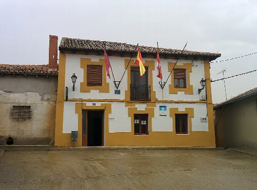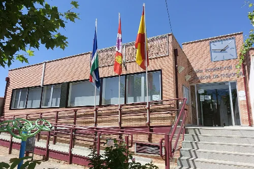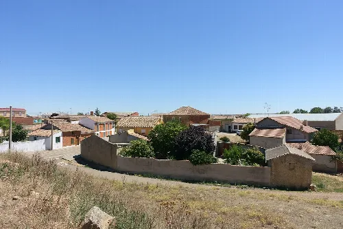
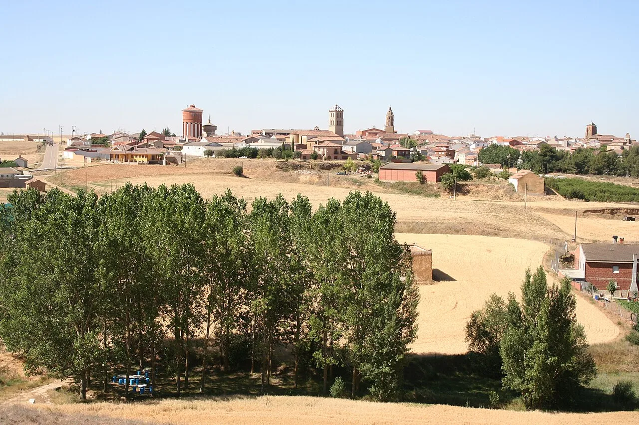
Panoramic view of Mayorga with trees in the foreground and buildings in the background. Unknown author, CC BY-SA 2.5

Mayorga

Castile and León

1,354Population
150.50 km²Area
774 mElevation
47680Postal code

Mayorga is a municipality in the province of Valladolid, located in the autonomous community of Castile and León. Known for its agricultural and livestock activities, it features a rich historical background and several notable monuments.

02Geography

Mayorga is situated in the Tierra de Campos region, approximately 78 kilometers from the provincial capital. It is one of the largest municipalities in Valladolid, characterized by its agricultural and livestock land. The area is traversed by the N-601 road and features a varied elevation, with the highest point at Teso del Morisco and the lowest along the river Cea.

Natural area
Part of ZEPA Penillanuras-Campos Norte.

03History

The origins of Mayorga trace back to the ancient settlement of Meóriga, mentioned by Ptolemy. In the Middle Ages, it served as a strategic stronghold on the border between the kingdoms of Castile and León. Over the centuries, it changed hands between these kingdoms and was home to notable historical figures.

Discover Mayorga, a historic municipality in Valladolid known for its agriculture, monuments, and unique festivals.

04Points of Interest

Mayorga boasts several notable monuments, including churches that exemplify Mudéjar architecture. The town's historical significance is also reflected in its preserved structures, such as the remnants of its medieval wall.
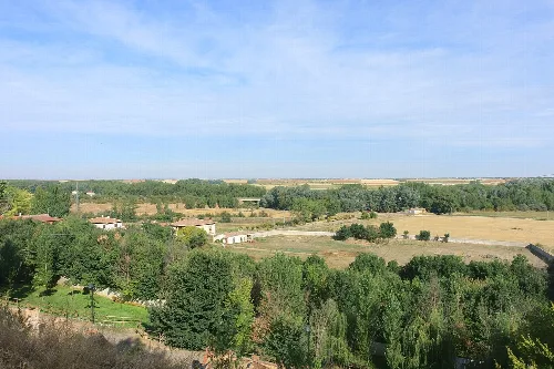

Landscape with river, fields, and trees from Mayorga, Valladolid.
View of the Cea river floodplain from Mayorga in Valladolid, with fields and trees under a blue sky.
Group of people with hats and torches during a night procession with smoke and fire.
Participants in the Civic Procession of Vítor in Mayorga, with torches and colorful hats at night with smoke and fire.
Mayorga · Data
Province
Valladolid
Autonomous community
Castile and León
Population
1,354
Area
150.50 km²
Elevation
774 m
Postal code
47680
Website
http://aytomayorga.org/
Coordinates
42.1666, -5.2627

Photos

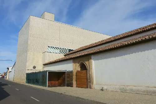
Modern Bread Museum building next to an old brick and tile structure.
Bread Museum in Mayorga, a modern building next to an old brick and tile structure.
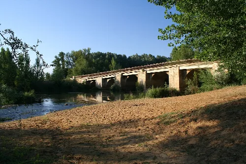
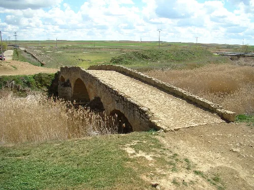
Stone bridge over the Cea River with trees and blue sky.
Bridge over the Cea River in Mayorga, with surrounding vegetation and clear sky.
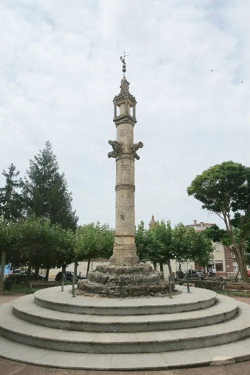
Stone pillar on a pedestal in a park with trees and benches.
Jurisdictional pillar of Mayorga, a historic monument in Valladolid, Spain.
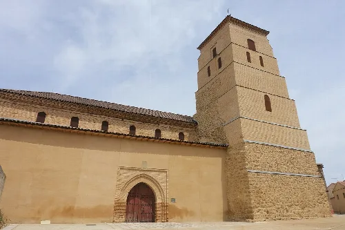
Tower of Santa María del Mercado church in Mayorga, Valladolid.
Santa María del Mercado church in Mayorga with its distinctive multi-story tower.
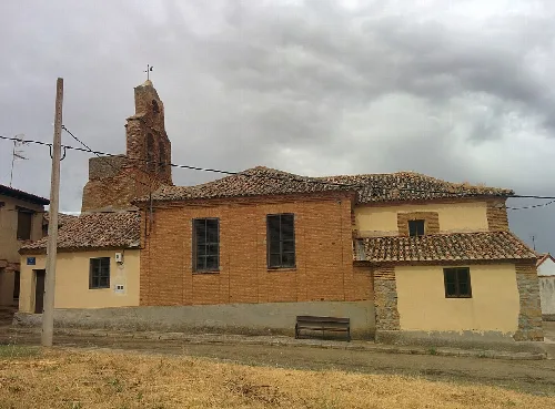
Santa María de Arbas Church in Mayorga, with tower and stone structure.
Santa María de Arbas Church in Mayorga, with its tower and stone structure.

Map

Nearby

Iglesia de Santa Marina, en Izagre (León, España).
Izagre
León · 133 inhabitants

Own text, written with AI assistance from the facts in Wikipedia · Mayorga, Spain · Data: Wikidata Q1915094 · Photos: Wikimedia Commons, see individual licenses. · CC BY-SA 4.0