espana.net
M
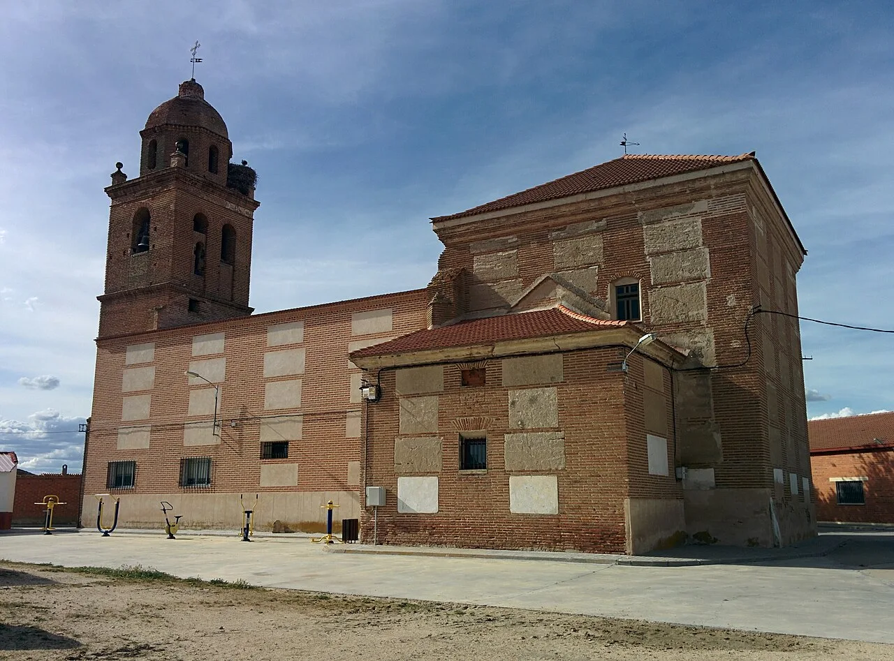 Rodelar, CC BY-SA 4.0
Castile and León
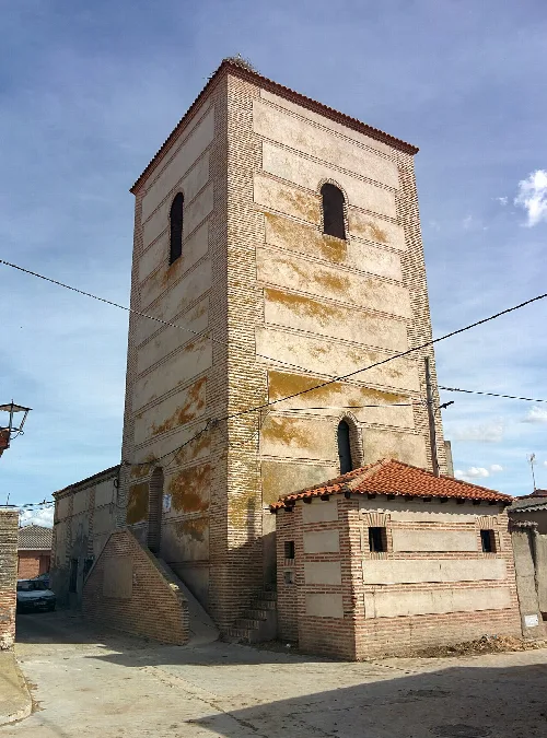
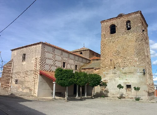
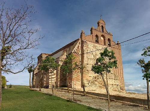
Salvador de Zapardiel is a municipality located in the province of Valladolid, within the autonomous community of Castile and León. Characterized by its unique landscape shaped by the Zapardiel River and its agricultural economy, it is home to a small population of 99 residents.
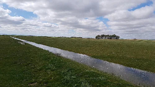
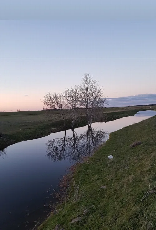
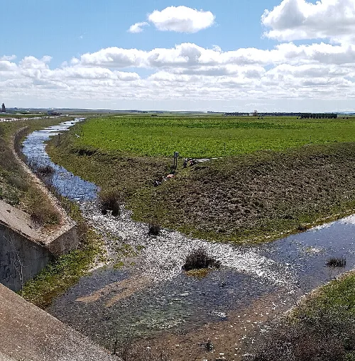
The municipality features a distinct landscape shaped by the Zapardiel River, the Old River, and the Morteros Stream, which are key to its hydrology. The area experiences significant seasonal contrasts, with lush greenery in winter and dry conditions in summer, influenced by frequent fog and frost. The local flora includes sparse riverside vegetation, primarily Populus alba and Juncaceae, found near the remnants of ancient lagoons.
Salvador de Zapardiel has historical roots dating back to the 13th century, originally known as 'Echasalvador'. The area has been significantly affected by flooding from the Zapardiel River, with notable inundations recorded in the 19th century. The river was redirected in 1867 to mitigate these floods, leading to the establishment of the current riverbed.
Discover Salvador de Zapardiel, a small municipality in Valladolid known for its unique landscape and agricultural heritage.
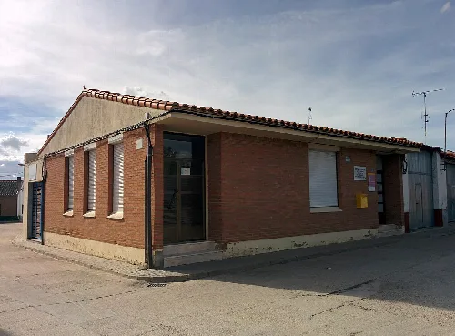
The local economy is primarily based on agriculture, particularly cereal and sheep farming, with traditional livestock routes still in use. The municipality also offers basic services, including a bar, a workshop, a health center, and sports facilities.
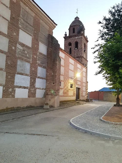
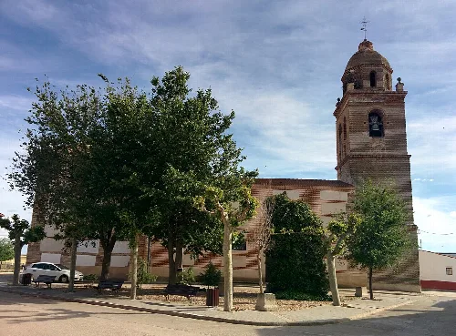
Own text, written with AI assistance from the facts in Wikipedia · Salvador de Zapardiel · Data: Wikidata Q1916502 · Photos: Wikimedia Commons, see individual licenses. · CC BY-SA 4.0