espana.net
 Hovallef, CC BY-SA 4.0
Castile and León
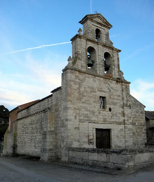
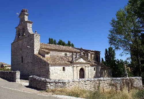
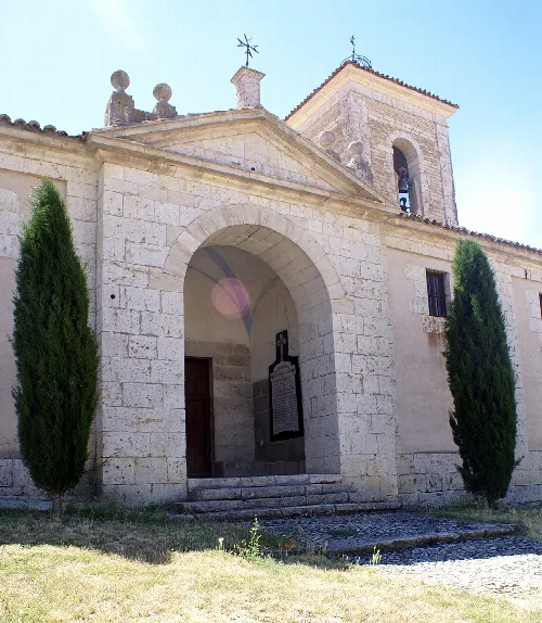
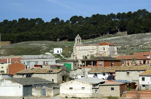
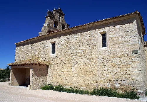
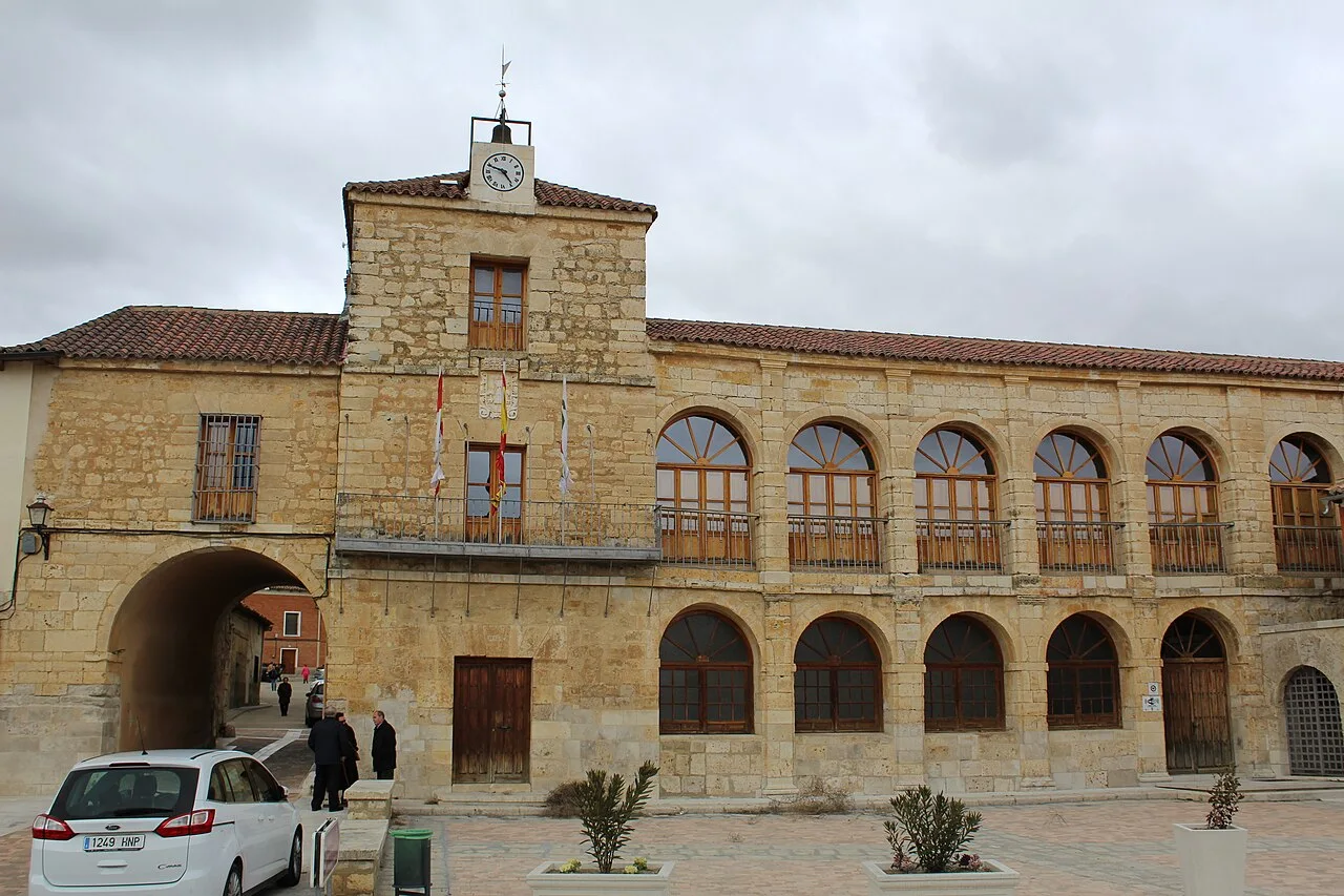
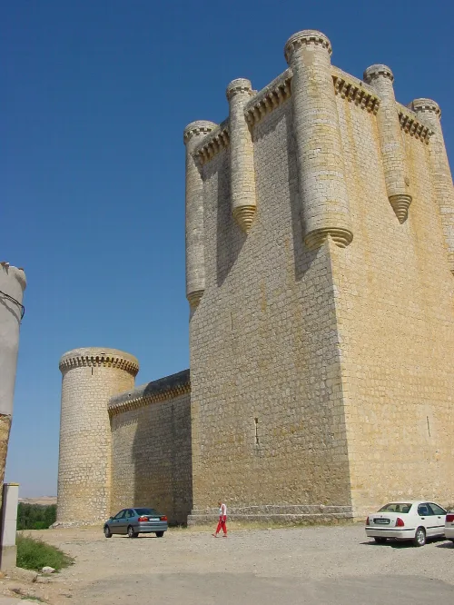
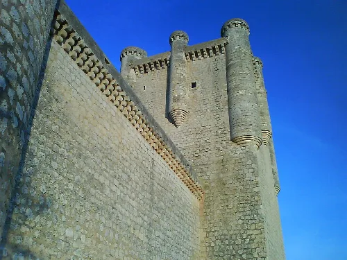
Torrelobatón is a municipality located in the province of Valladolid, within the autonomous community of Castile and León, Spain. It is characterized by its rich historical background and notable landmarks, including a castle and several churches.
The origins of Torrelobatón can be traced back to the Iron Age, with evidence of settlement at a site known as El Pago de Grimata. It later became home to the Roman city of Amallóbriga. During the Middle Ages, it was part of the Merindad del Infantazgo of Valladolid, an administrative division of the Crown of Castile.
In 1521, during the War of the Communities of Castile, Torrelobatón was besieged by the comuneros. After four days, they entered the city, leading to significant looting, except for the churches. The castle resisted until the threat of execution forced its surrender. Today, the castle houses the Museum of Interpretation of the Comunero Movement.
Own text, written with AI assistance from the facts in Wikipedia · Torrelobatón · Data: Wikidata Q1651719 · Photos: Wikimedia Commons, see individual licenses. · CC BY-SA 4.0