espana.net
 Lourdes Cardenal, CC BY-SA 4.0
Castile and León
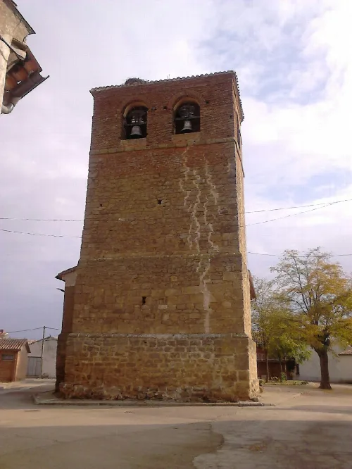
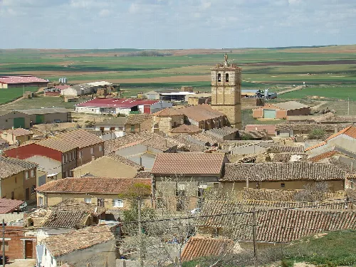
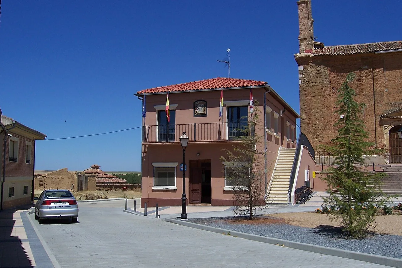
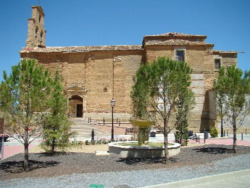
Villamuriel de Campos is a municipality located in the province of Valladolid, within the autonomous community of Castile and León. Characterized by its rural landscape and historical significance, it features a small population and notable agricultural activities.
Villamuriel de Campos is situated in the Tierra de Campos region, covering an area of 18.28 km². The municipality is traversed by the river Navajos, also referred to as Arroyo Bustillo or Ahogaborricos, which is a tributary of the Valderaduey.
The earliest evidence of Villamuriel de Campos dates back to the Roman era, with indications of a settlement along the right bank of Arroyo Bustillo. The name is derived from the ancient Villa del Muro, and the area was historically significant due to its location along a Roman road.
Discover Villamuriel de Campos, a small municipality in Valladolid known for its rich history and agricultural landscape.
The economy of Villamuriel de Campos is primarily based on agriculture, focusing on crops such as cereals, alfalfa, and sunflowers, along with sheep farming. The area offers opportunities for hiking and enjoying nature, with several notable paths and a natural spring known as La Peña.
Own text, written with AI assistance from the facts in Wikipedia · Villamuriel de Campos · Data: Wikidata Q1908560 · Photos: Wikimedia Commons, see individual licenses. · CC BY-SA 4.0