espana.net
 Lourdes Cardenal, CC BY-SA 4.0
Castile and León
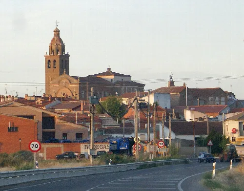
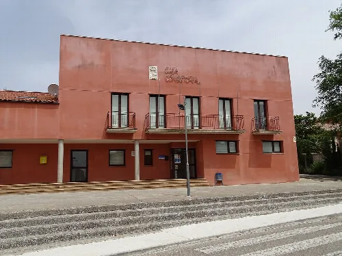
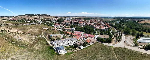
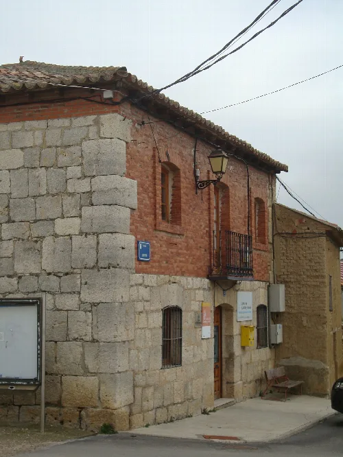
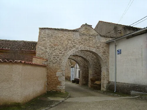
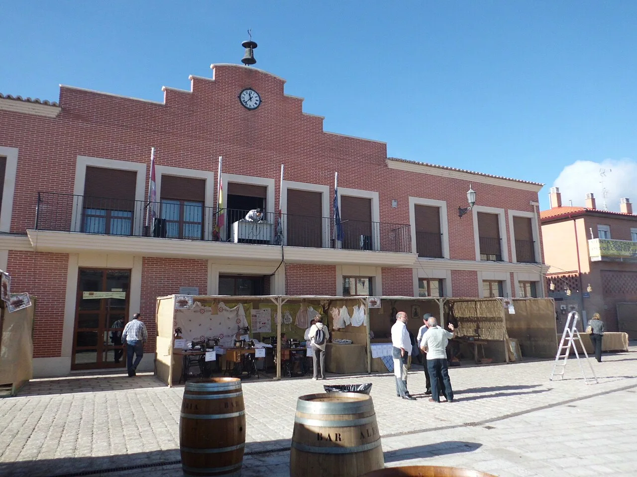
Villanueva de Duero is a municipality in the province of Valladolid, located in the autonomous community of Castile and León. It is characterized by its historical significance and notable architectural sites, including a 16th-century church and the ruins of a former Carthusian monastery.
Villanueva de Duero lies in the central part of Valladolid province, within the Tierra de Pinares comarca. The town is situated on the left bank of the Duero River, approximately 18 kilometers from the provincial capital. The area is part of the Submeseta Norte region and is characterized by the valley of the Adaja River, which flows into the Duero.
The history of Villanueva de Duero is marked by its early Roman settlement, with evidence dating back to the 4th century. Originally named Las Cabañuelas, it evolved through several names, including Aldea Nueva and Aldeanueva de Aniago, before adopting its current name in 1630. The establishment of the Cartuja de Nuestra Señora de Aniago in the early 15th century significantly influenced the town's development.
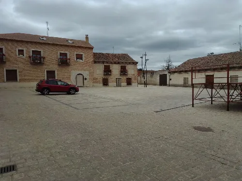
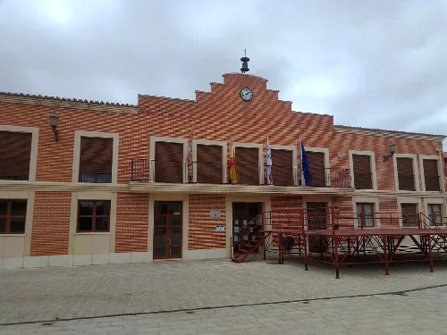
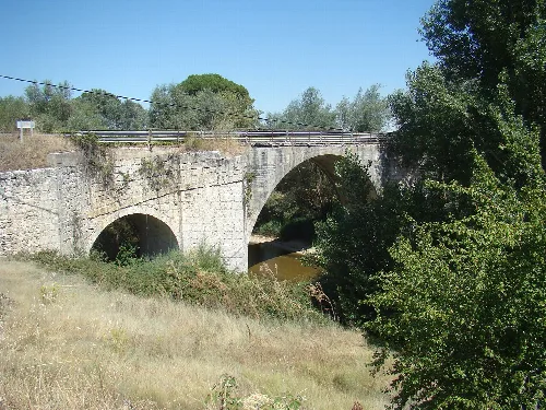
Villanueva de Duero, a municipality in Valladolid, features historical architecture and a rich cultural heritage.
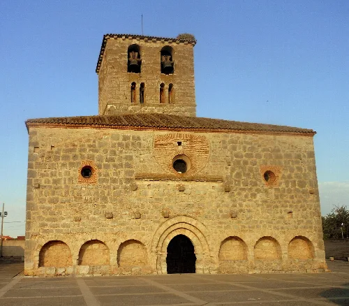
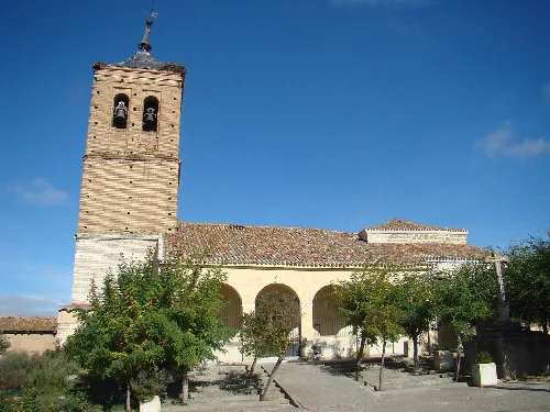
Villanueva de Duero features several notable sites, including the Iglesia de Nuestra Señora de la Visitación, a 16th-century Mudéjar-style church, and the 18th-century Ermita del Cristo. The ruins of the Cartuja de Nuestra Señora de Aniago, a former Carthusian monastery, also reflect the town's historical significance.
Own text, written with AI assistance from the facts in Wikipedia · Villanueva de Duero · Data: Wikidata Q1651722 · Photos: Wikimedia Commons, see individual licenses. · CC BY-SA 4.0