espana.net
 Rodelar, CC BY-SA 4.0
Castile and León
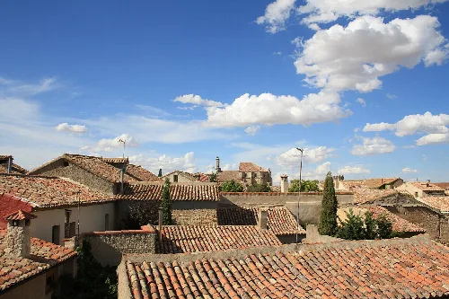
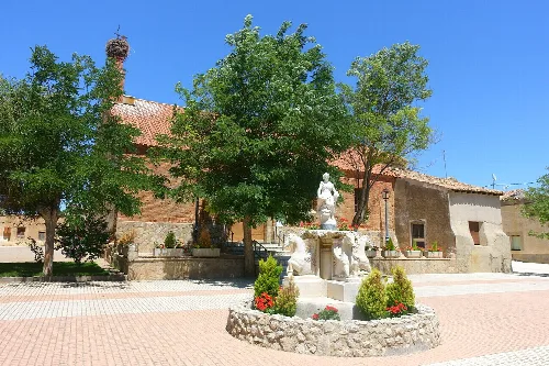
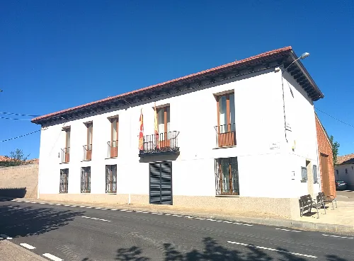
Villanueva de los Caballeros is a municipality in the province of Valladolid, Castile and León, known for its agricultural landscape and historical significance. The town is characterized by its rich archaeological heritage and traditional architecture, including the notable Iglesia de San Pedro Apóstol.
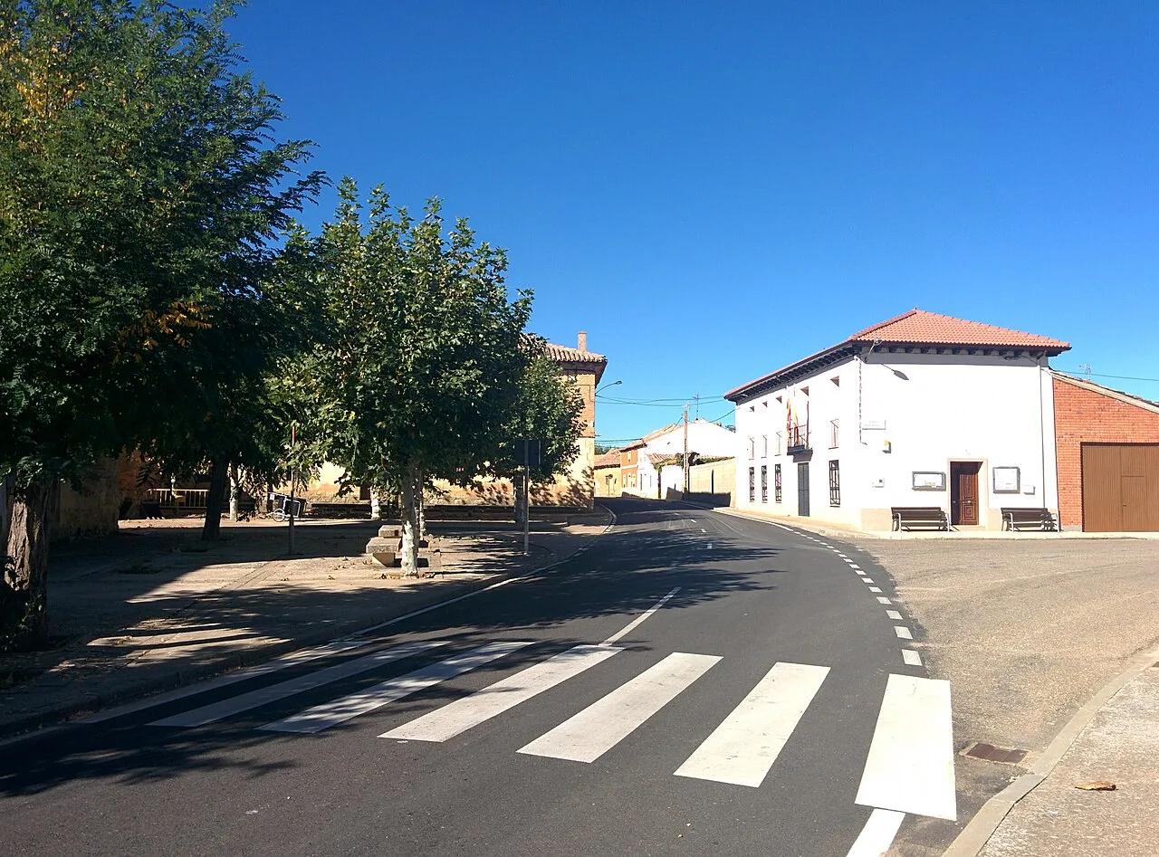
Villanueva de los Caballeros is situated in the Tierra de Campos natural region, approximately 56 km from Valladolid. The municipality is traversed by the Noroeste motorway, marking it as the last municipality in Valladolid along this route. The landscape features extensive plains interspersed with isolated hills and streams, particularly the Sequillo River, which forms the southern boundary of the town.
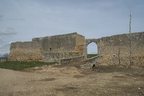
The area has significant archaeological findings, including Iron Age ceramics and a Neolithic collective burial site known as El Miradero. The original name, Villa Nova de Campo de Tauro, dates back to 1091, indicating the establishment of a new settlement near an existing one. By the mid-19th century, the population was recorded at 770.
Villanueva de los Caballeros is a small municipality in Valladolid, known for its history and agricultural landscape.
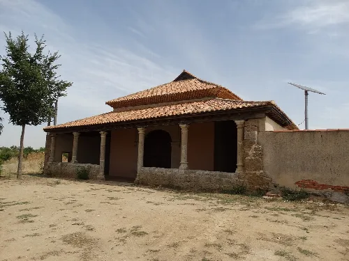
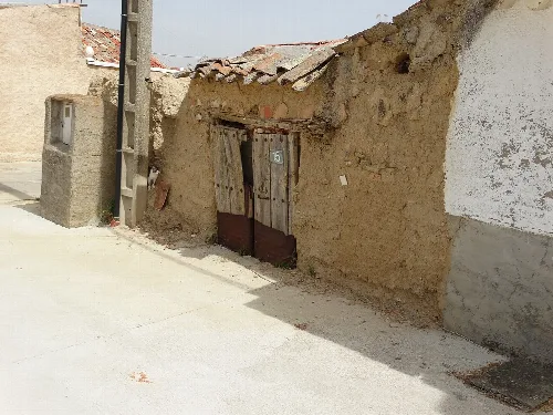
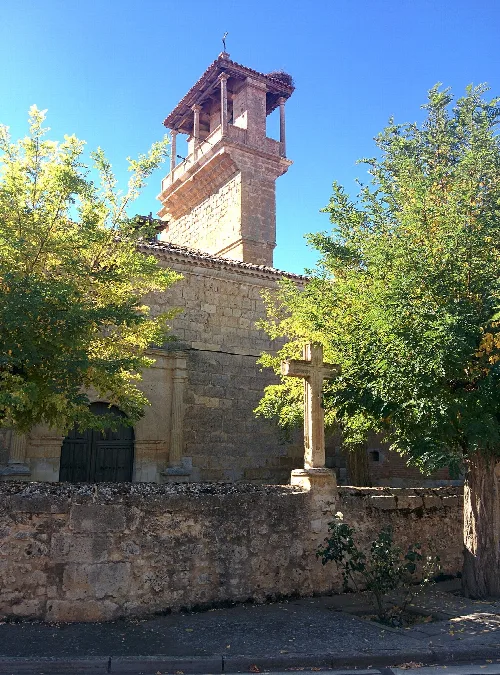
The municipality features the Iglesia de San Pedro Apóstol, a Baroque church constructed from the early 16th century to the early 19th century. It is well-preserved and includes three naves, a wooden choir from the 16th century, and a bell tower. Additionally, traditional structures such as dovecotes and field huts can be found in the surrounding countryside.
Own text, written with AI assistance from the facts in Wikipedia · Villanueva de los Caballeros · Data: Wikidata Q761744 · Photos: Wikimedia Commons, see individual licenses. · CC BY-SA 4.0