espana.net
 NeliOM, CC BY-SA 4.0
Castile and León
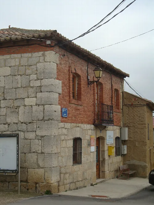
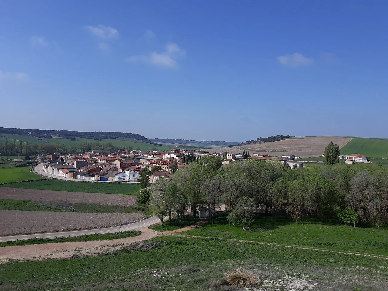
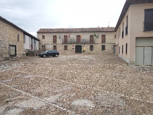
Wamba is a municipality located in the province of Valladolid, within the autonomous community of Castile and León. Known for its historical significance and unique name, it is situated in the southeastern part of the Montes Torozos region and is part of the Camino de Santiago de Madrid.
Wamba's history dates back to the early medieval period, with its name derived from the Visigoth king Wamba, who was elected here in 672. The area was known as Gérticos and served as a royal villa for King Recesvinto. The town re-emerged in the 10th century as a site for a Mozarabic monastery dedicated to Santa María, which was later donated to the Order of Saint John of Jerusalem in 1140.
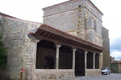
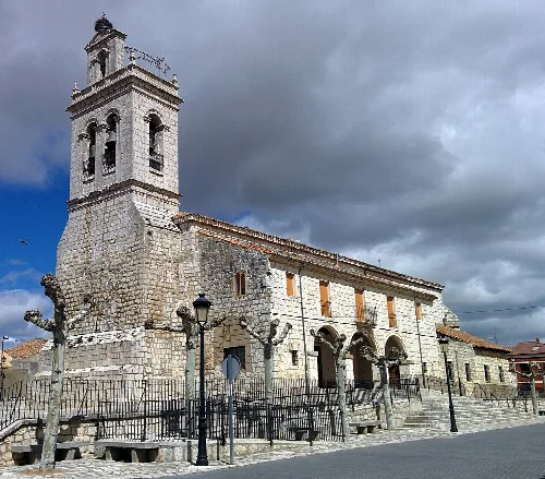
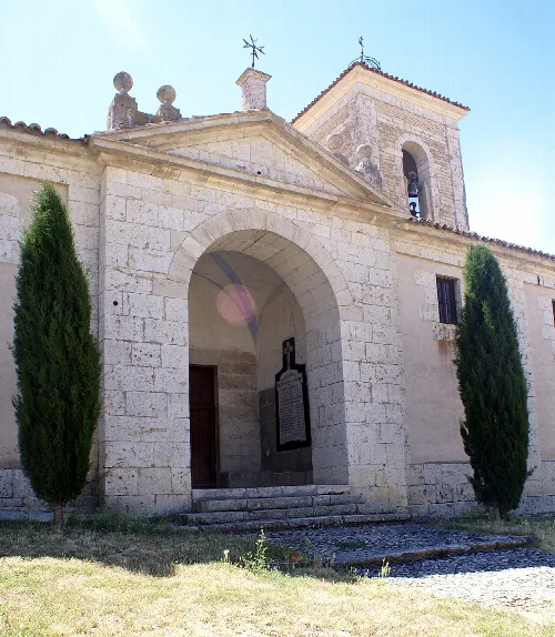
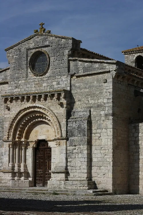
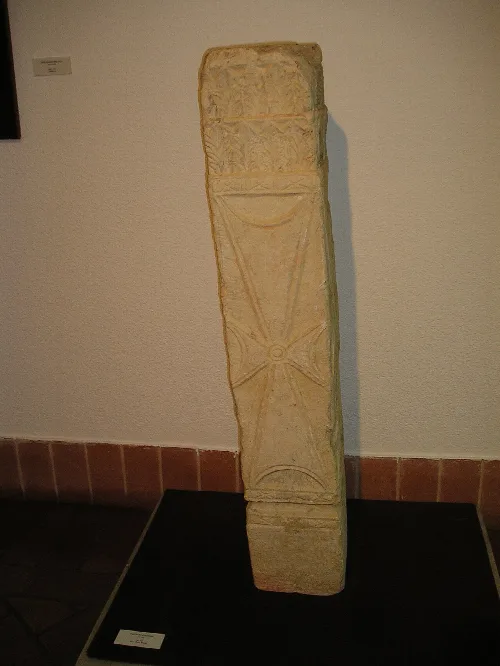
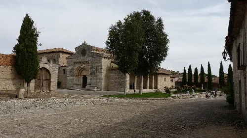
The municipality is home to the Iglesia de Santa María, which features remnants of a Visigothic church and is considered one of the earliest Mozarabic churches in the region. The structure showcases a blend of architectural styles, with significant elements from both the Visigothic and later Romanesque periods.
Wamba, a municipality in Valladolid, is known for its historical significance and unique name, located in Castile and León.
Wamba celebrates its patronal festivals in August, dedicated to the Virgen de Nuestra Señora de la Asunción and San Isidro Labrador. These festivities take place from August 14 to August 17, marking a significant cultural event for the local community.
Own text, written with AI assistance from the facts in Wikipedia · Wamba, Valladolid · Data: Wikidata Q644732 · Photos: Wikimedia Commons, see individual licenses. · CC BY-SA 4.0