espana.net
 Antidio, CC BY-SA 3.0
Castile and León
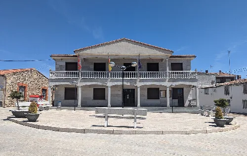
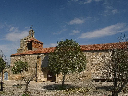
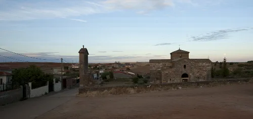
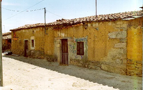
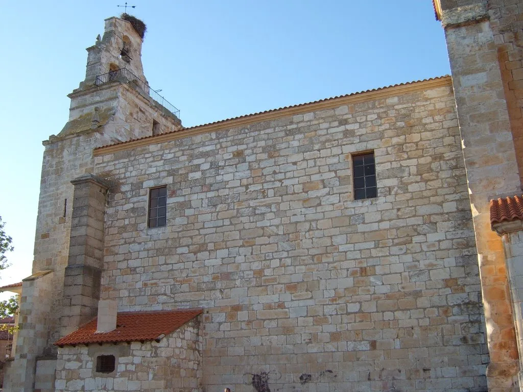
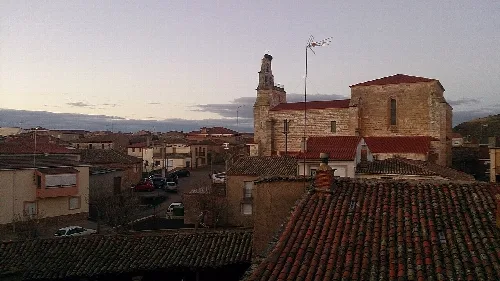
Almaraz de Duero is a municipality in the province of Zamora, located in the autonomous community of Castile and León. Characterized by its rich history and agricultural economy, it features notable landmarks such as the church of the Transfiguration of the Lord and the San Pelayo rock sanctuary.
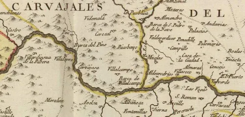
Almaraz de Duero is situated approximately 19 km from the provincial capital, Zamora, and is accessible via the Almaraz road. The urban area is divided by a stream, with bridges connecting the two parts. The municipality borders Zamora to the north, the Duero River to the south and east, and Muelas del Pan and Villaseco del Pan to the west.
Almaraz de Duero has a rich historical background, with evidence of prehistoric settlements and Roman influence. The first written mention of the municipality dates back to October 1, 1175, when it was granted a charter by King Fernando II of León. Over the centuries, it transitioned from a royal domain to an ecclesiastical lordship under the bishop of Zamora.
Discover Almaraz de Duero, a historic municipality in Zamora known for its agricultural roots and cultural heritage.
The local economy primarily revolves around agriculture, livestock, and services, with some residents commuting to Zamora for work. Almaraz de Duero also promotes tourism, highlighted by the nearby Arribes del Duero and the Las Pilas waterfall.
Own text, written with AI assistance from the facts in Wikipedia · Almaraz de Duero · Data: Wikidata Q1650429 · Photos: Wikimedia Commons, see individual licenses. · CC BY-SA 4.0