espana.net
 Rodelar, CC BY-SA 4.0
Castile and León
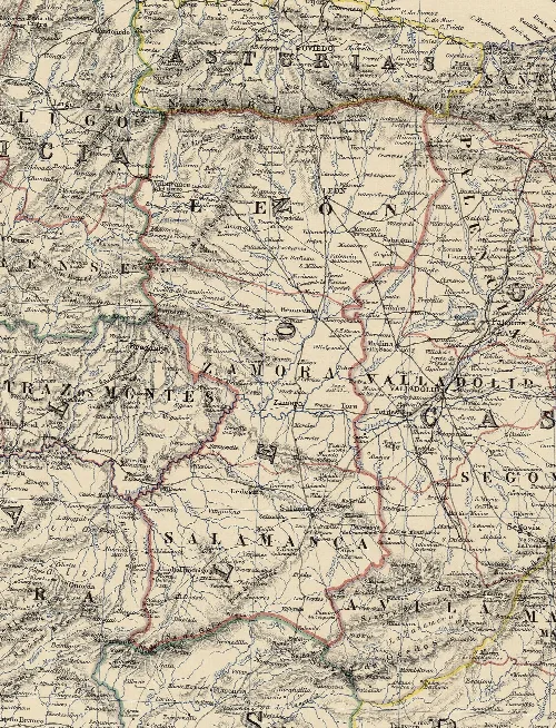
Belver de los Montes is a municipality located in the province of Zamora, within the autonomous community of Castile and León. Characterized by its historical significance and scenic elevation, it features remnants of an ancient castle and a rich archaeological background.
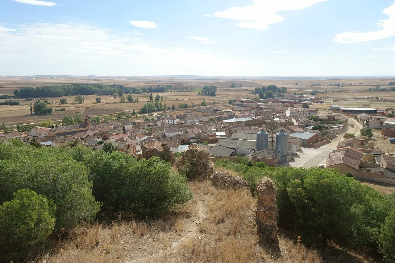
Belver de los Montes is situated in the Zamora part of the Tierra de Campos region. The municipality encompasses a single locality, positioned at an average altitude of 688 meters, covering an area of 68.55 km². The urban center is located on a slope at the foot of Mount Tarasa, near the remnants of its ancient castle and alongside the Sequillo River.
The area around the Sequillo River has been inhabited for approximately 200,000 years, with evidence of Acheulean tools found in various locations. The region was later occupied by the Celtic tribe of the Vacceos, who interacted with the Romans around 151 BC. The first written mention of Belver dates back to 940 AD, and it underwent several name changes and fortifications throughout the Middle Ages.
Explore Belver de los Montes, a historic municipality in Zamora, known for its archaeological sites and medieval heritage.
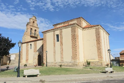
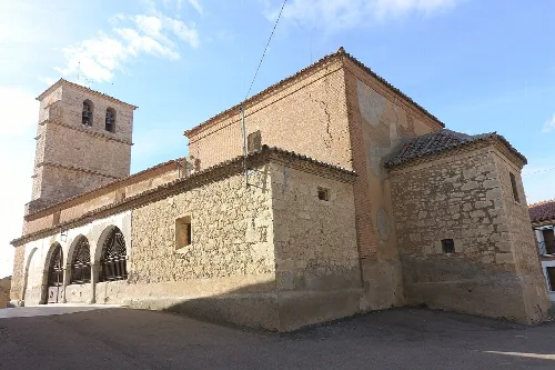
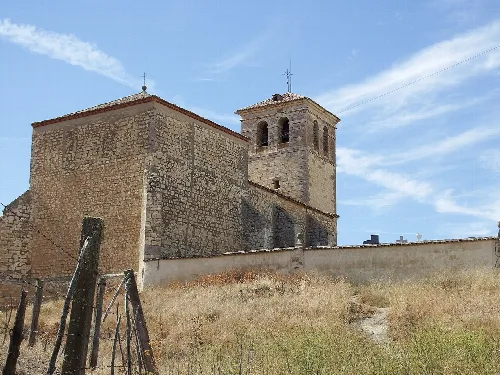
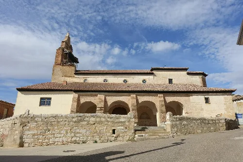
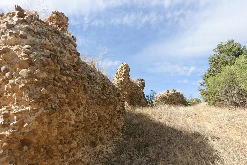
Belver de los Montes is home to notable cultural symbols, including its coat of arms and flag, which were officially approved in 1998. The municipality's heritage includes the Church of Salvador, recognized as a site of cultural interest, and remnants of a medieval wall that are currently in a state of disrepair.
Own text, written with AI assistance from the facts in Wikipedia · Belver de los Montes · Data: Wikidata Q766254 · Photos: Wikimedia Commons, see individual licenses. · CC BY-SA 4.0