espana.net
 Hovallef, CC BY-SA 4.0
Castile and León
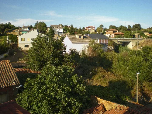
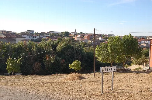
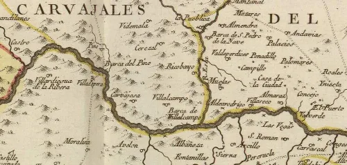
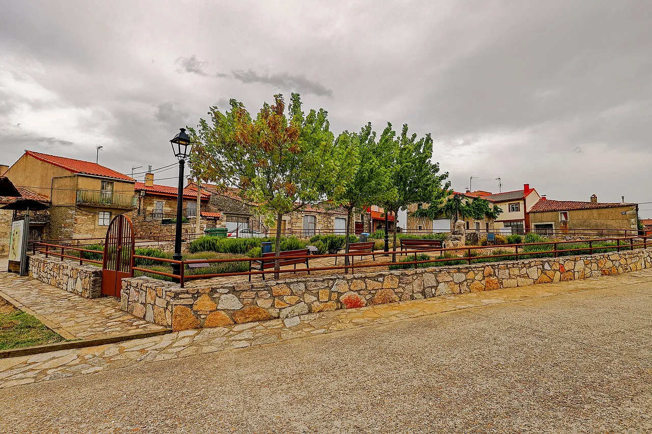
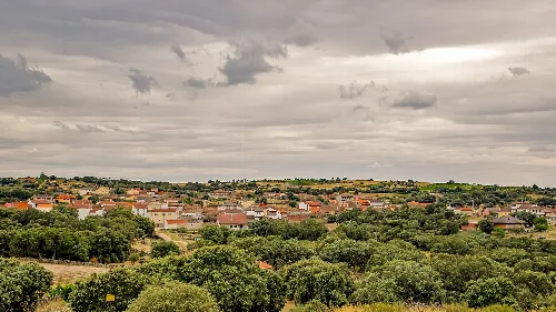
Pino del Oro is a municipality located in the province of Zamora, within the autonomous community of Castile and León. Nestled in the Arribes del Duero Natural Park, it features traditional stone architecture and historical mining sites.
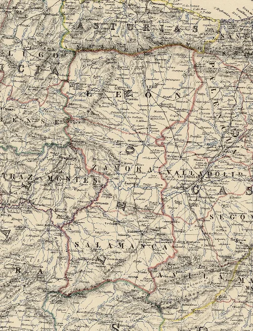
Pino del Oro is situated in the southwestern part of Zamora, approximately 45 km from the provincial capital. The municipality is part of the Aliste comarca and is integrated into the Tierra del Pan Mancomunidad. Its territory is characterized by its location within the protected Arribes del Duero Natural Park, which is renowned for its stunning landscapes.
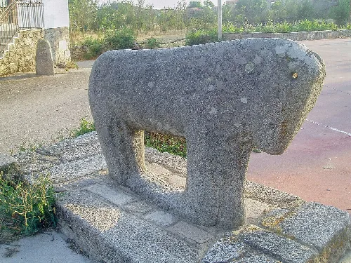
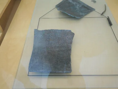
The history of Pino del Oro dates back to the Iron Age, with evidence of early human settlements. The area later saw Roman activity, particularly in mining, during the early Imperial period. Following the Reconquista, Pino became part of the Kingdom of León, and it has undergone various administrative changes over the centuries.
Pino del Oro is a small municipality in Zamora, known for its natural beauty and historical significance in mining.
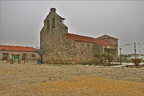
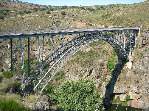
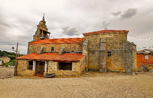
Pino del Oro is home to several notable landmarks, including the Church of San Juan Bautista and the Requejo Bridge, an iron structure completed in the early 20th century. The area also features remnants of ancient mining operations, which are significant for understanding the region's historical economy.
Own text, written with AI assistance from the facts in Wikipedia · Pino del Oro · Data: Wikidata Q373832 · Photos: Wikimedia Commons, see individual licenses. · CC BY-SA 4.0