espana.net
 Estevoaei, CC BY-SA 4.0
Castile and León
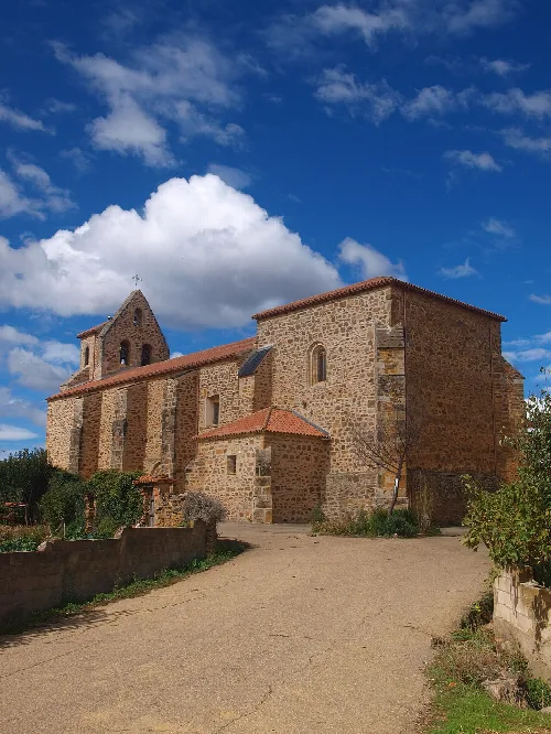
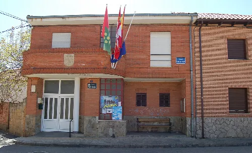
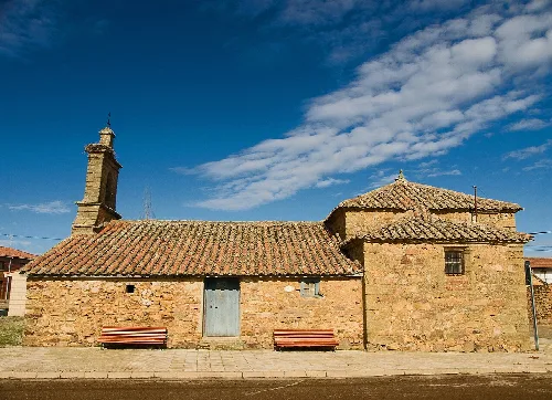
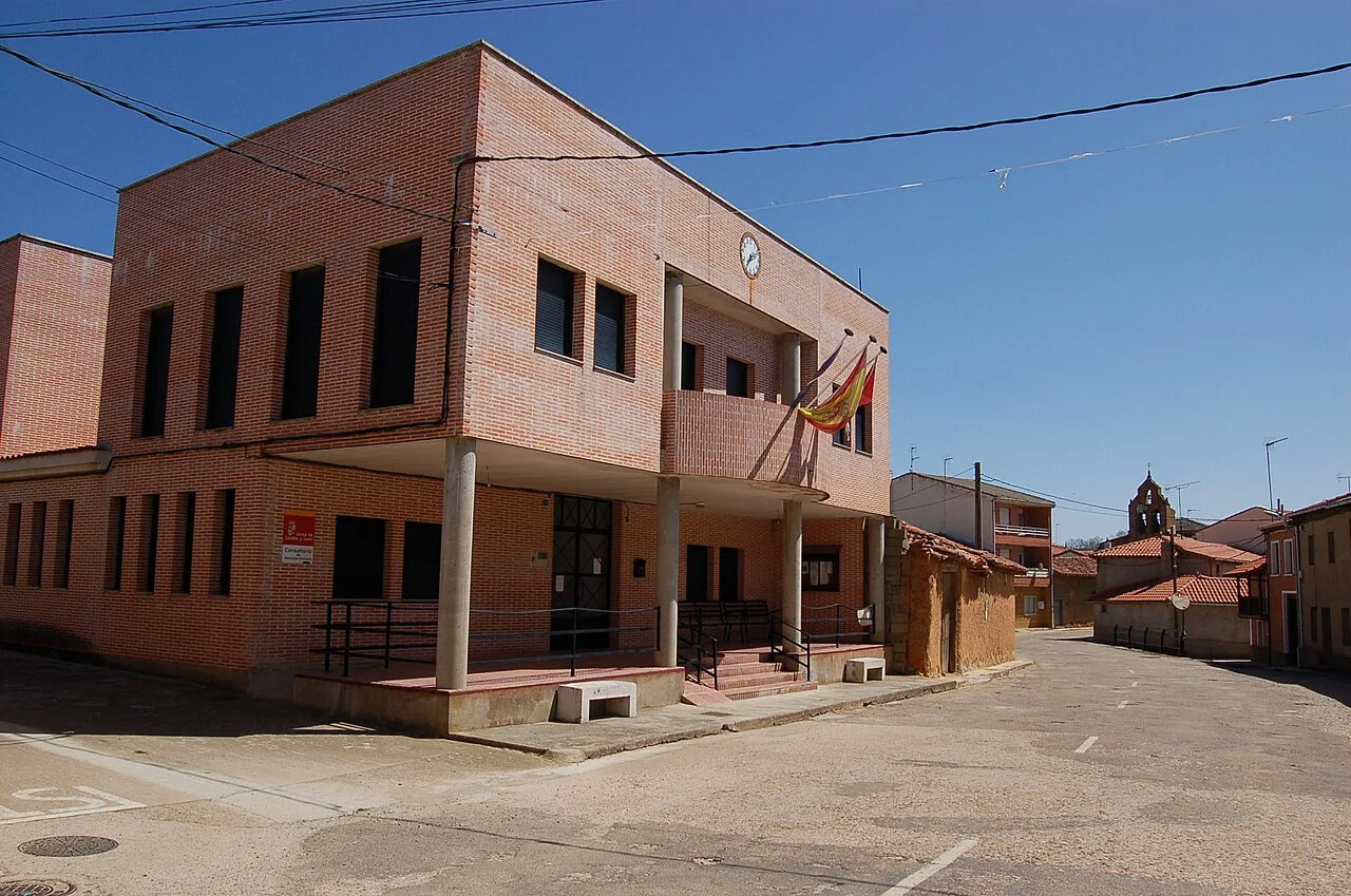
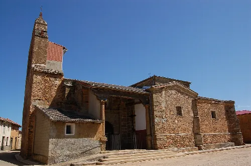
Uña de Quintana is a municipality located in the province of Zamora, within the autonomous community of Castile and León. Characterized by its fertile lands and historical significance, it features notable landmarks such as the church of San Justo and Pastor.
Uña de Quintana is situated at an elevation of 782 meters and is primarily flat, bordered by various natural features. The area is watered by the Regato River, which flows from Justel and merges into the Tera River. The municipality is surrounded by several mountains and hills, including El Monte and Pico El Cuerno, which reaches a height of 800 meters.
The history of Uña de Quintana is marked by its early settlement, although archaeological evidence is scarce. Following its reconquest by León's kings, it became part of a repopulation effort. Initially part of León province, it transitioned to Zamora in 1833 and has remained within the judicial district of Benavente.
Uña de Quintana, a municipality in Zamora, is known for its fertile lands and historical church dedicated to San Justo and Pastor.
Uña de Quintana is home to the church dedicated to San Justo and Pastor, which dates back to the 15th century and features a Renaissance-style façade. The village also celebrates various festivals, particularly in August, honoring its patron saints with religious and cultural events.
Own text, written with AI assistance from the facts in Wikipedia · Uña de Quintana · Data: Wikidata Q1769093 · Photos: Wikimedia Commons, see individual licenses. · CC BY-SA 4.0