espana.net
 Estevoaei, CC BY-SA 4.0
Castile and León
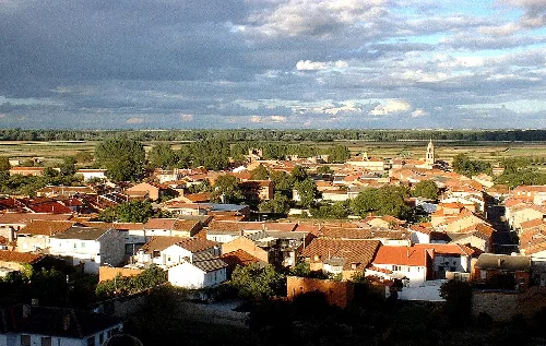
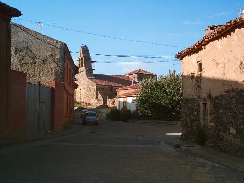
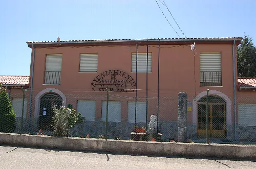
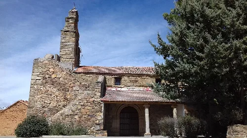
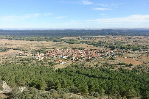
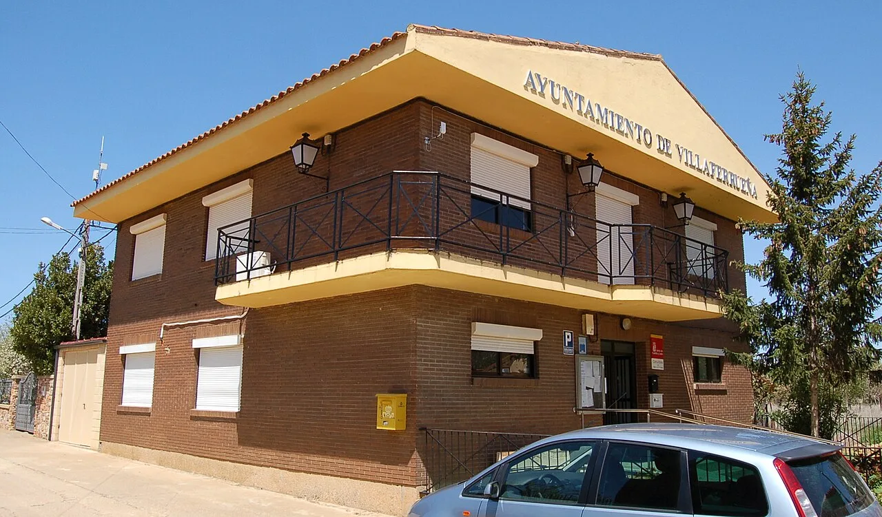
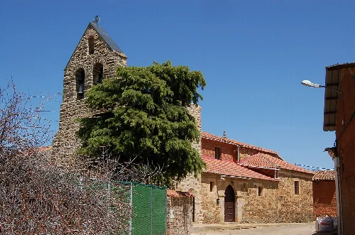
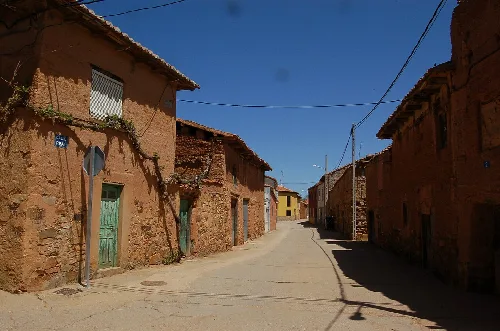
Villaferrueña is a municipality located in the province of Zamora, within the autonomous community of Castile and León. Characterized by its agricultural landscape and historical significance, it has a small population and is surrounded by natural beauty.
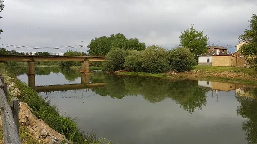
Villaferrueña is situated 22 km from Benavente and only 6 km from the province of León. The municipality is traversed by the Eria River, which varies in flow from winter to summer, impacting local irrigation. The surrounding land is primarily used for agriculture, including crops like potatoes, beets, and barley, along with some livestock farming.
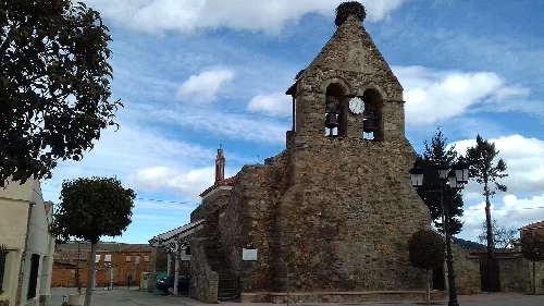
The history of Villaferrueña dates back to ancient times, with evidence of an Asturian settlement during the Iron Age. In the Middle Ages, it became part of the Kingdom of León, and notable figures such as Ponce Giraldo de Cabrera contributed to its development. The village was later integrated into the province of Zamora in 1833.
Villaferrueña is a small municipality in Zamora, known for its agricultural heritage and historical roots.
Traditionally focused on agriculture, Villaferrueña has faced a gradual depopulation since the 1950s, threatening its sustainability. The local economy also benefits from hunting and forestry, although these resources are underutilized.
Own text, written with AI assistance from the facts in Wikipedia · Villaferrueña · Data: Wikidata Q1922214 · Photos: Wikimedia Commons, see individual licenses. · CC BY-SA 4.0