espana.net
 AdriPozuelo, CC BY-SA 3.0 es
Aragon
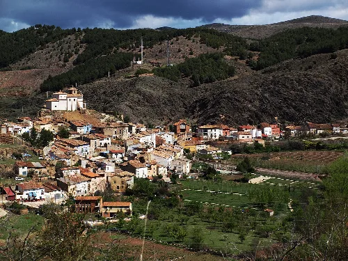
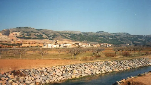
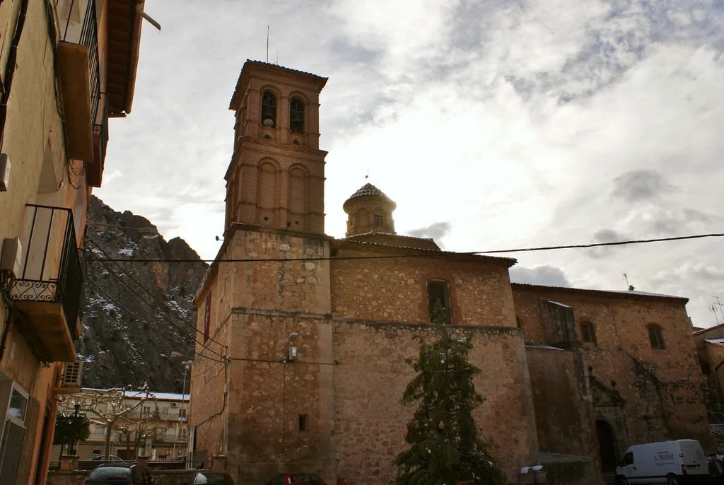
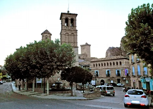
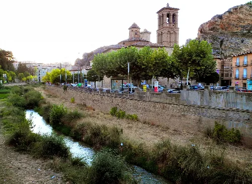
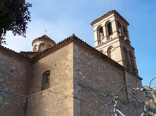
Alhama de Aragón is a municipality located in the province of Zaragoza, within the autonomous community of Aragon. Known for its thermal springs and rich history, it features a blend of natural beauty and cultural heritage.
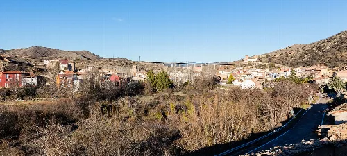
Alhama de Aragón is situated in the Calatayud region, approximately 28 km from Calatayud and 111 km from Zaragoza. The municipality spans an area of 31.14 km² and is located at an elevation of 664 m. The landscape is characterized by irregular northern terrain with elevations exceeding 900 m, while the southern region features typical barrancos and streams. The area benefits from a temperate climate, with an average annual temperature of 13.8 °C and annual precipitation of 360 mm.
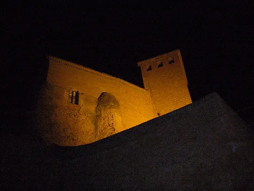
Alhama de Aragón has a rich historical background, with evidence suggesting the presence of thermal baths since Roman times. The town's name is derived from the Arabic term Al-Hammam, meaning 'the baths'. It has been a site of strategic importance, changing hands between Christian and Muslim rulers throughout the centuries, particularly during the reconquest efforts led by Alfonso I in 1122.
Discover Alhama de Aragón, a municipality in Zaragoza known for its thermal springs and historical significance.
The economy of Alhama de Aragón is primarily driven by its thermal springs, which have been utilized since Roman times. The municipality is home to eight mineral springs and a unique thermal lake. Additionally, Alhama has a notable tradition of pottery, although it faces challenges in preserving this craft. The local industry includes ZALUX, a significant manufacturer of lighting products.
Own text, written with AI assistance from the facts in Wikipedia · Alhama de Aragón · Data: Wikidata Q1642171 · Photos: Wikimedia Commons, see individual licenses. · CC BY-SA 4.0