espana.net
 Unknown author, CC BY-SA 3.0
Aragon
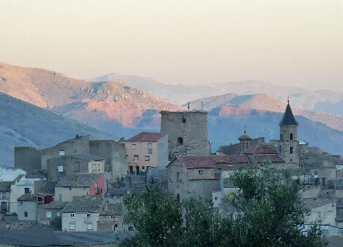
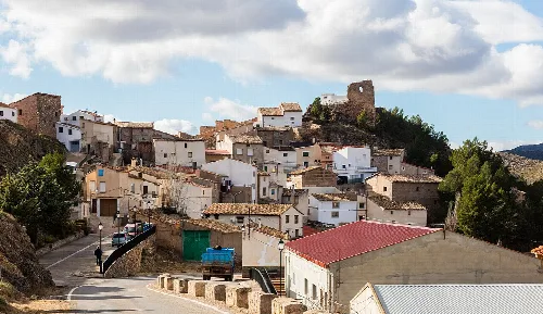
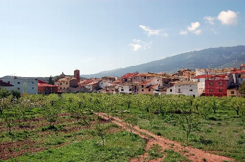
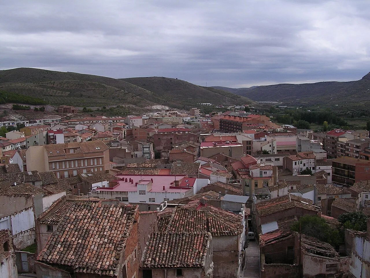
Illueca is a municipality in the province of Zaragoza, Aragon, known for its rich history and notable architectural heritage. It serves as the capital of the Aranda comarca and has a diverse economy centered around agriculture and industry.
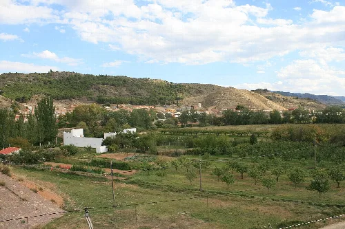
Illueca covers an area of 24.86 km² and is located in the Iberian system at an elevation of 599 meters. The town is situated along the Aranda River, surrounded by the tectonic massifs of the Sierra de la Virgen and Sierra de la Camamila. It is approximately 89 km from Zaragoza and 39 km from Calatayud, with an average annual temperature of 12.1 °C and annual precipitation of 475 mm.
Illueca has a rich historical background, with references to its medieval names, Illicata and Illoca. After the Reconquista, it became notable under the lordship of Pedro Taresa in the 12th century, and later as part of a barony granted by Jaime I. The town was governed by the influential Casa de Luna family from the 14th to the 17th centuries.
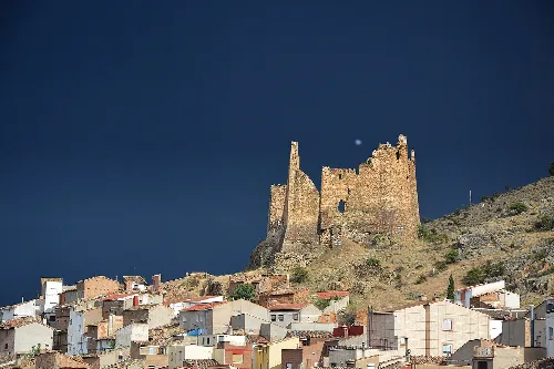
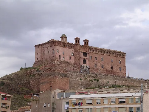
Illueca, a municipality in Zaragoza, is known for its historical significance and architectural heritage, including the Castle of Papa Luna.
The economy of Illueca is primarily industrial, with a historical foundation in textile manufacturing. Currently, the footwear industry dominates, having developed significantly since the 20th century. Agriculture also plays a role, with a focus on viticulture, although it is mainly subsistence farming.
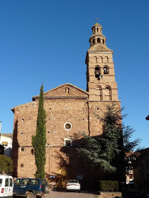
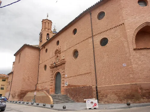
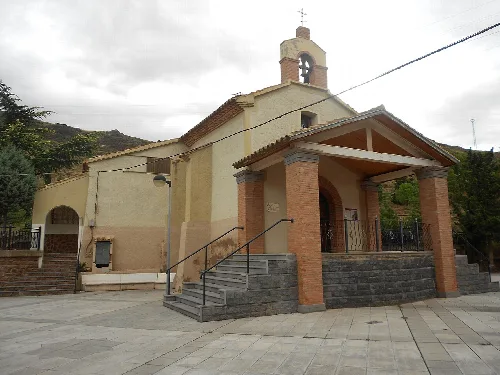
Illueca is home to significant historical structures, including the Castle of Papa Luna, which showcases various architectural styles. The town also features the Church of San Juan Bautista and several baroque chapels, reflecting its rich cultural and religious history.
Own text, written with AI assistance from the facts in Wikipedia · Illueca · Data: Wikidata Q1640394 · Photos: Wikimedia Commons, see individual licenses. · CC BY-SA 4.0