espana.net
 Etxaburu, CC BY-SA 4.0
Basque Country
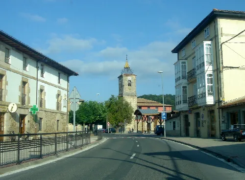
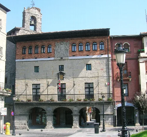
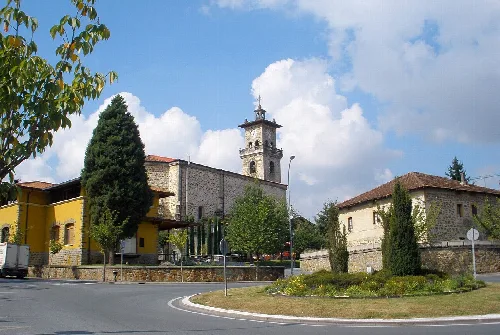
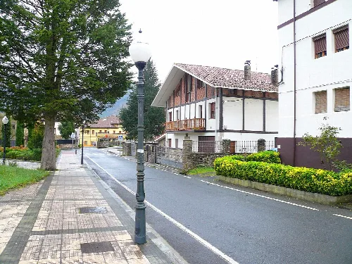
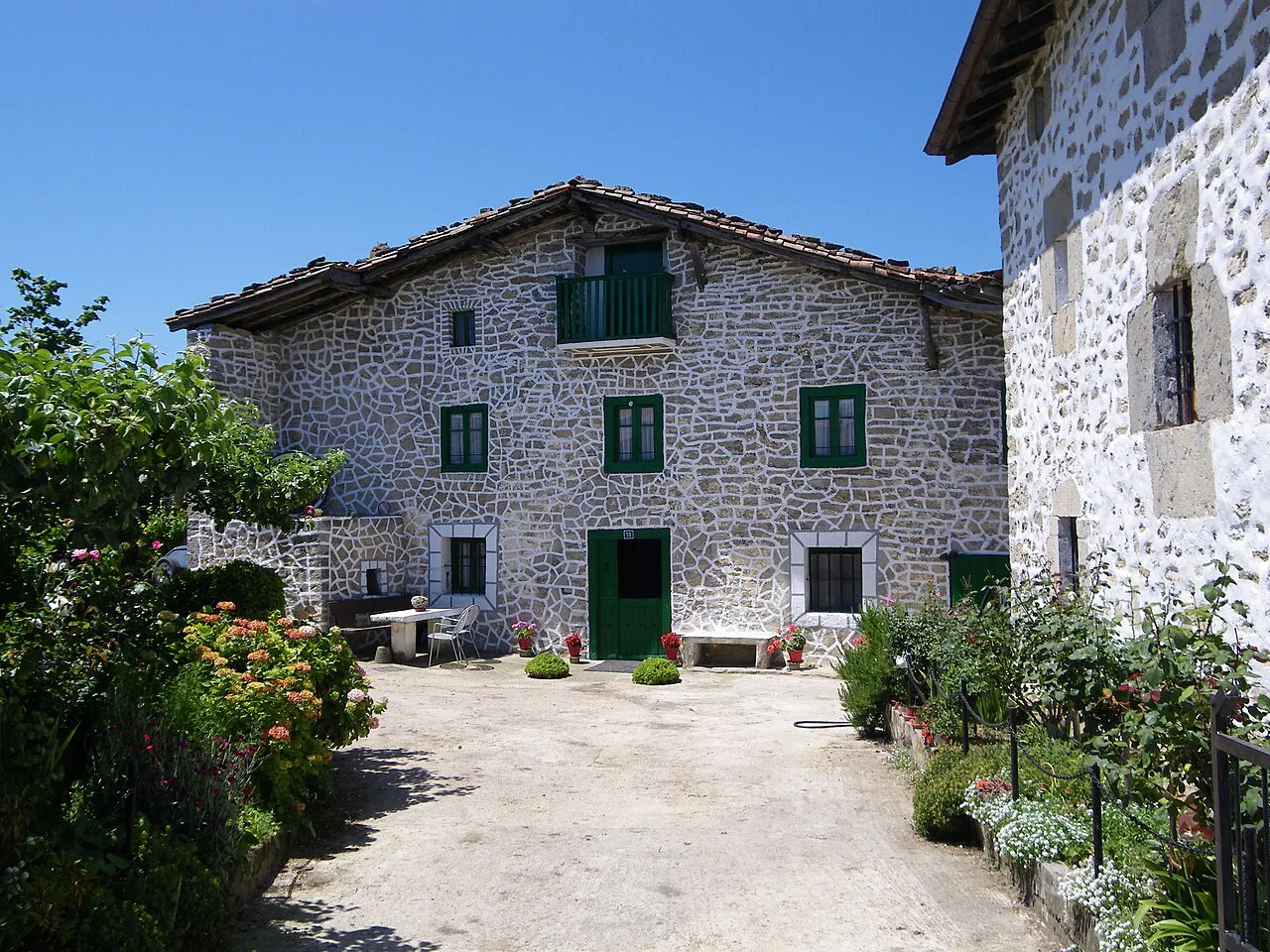
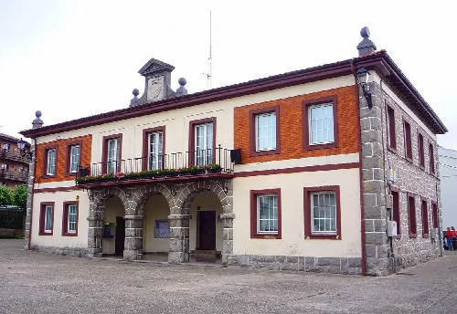
Urkabustaiz is a municipality in the province of Álava, located in the Basque Country of Spain. Characterized by its elevated plateau and rich natural surroundings, it features a mix of agricultural and industrial economies.
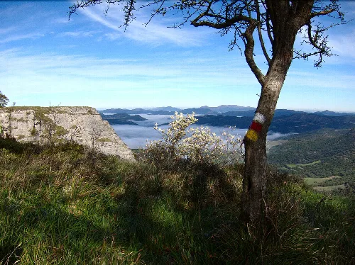
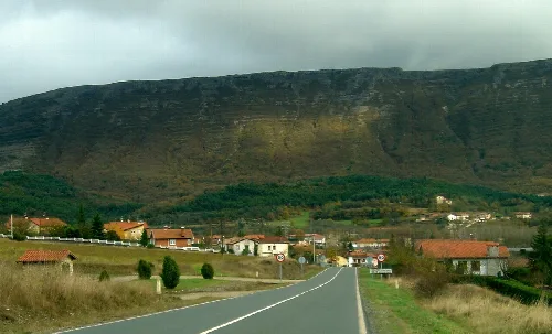
Urkabustaiz is situated on a high plateau with modest elevations. The notable geographical features include the Sierra de Guivijo to the southwest and the Altube valley to the northeast, which separates it from the Gorbea massif. The municipality is also home to the impressive Gujuli waterfall and is crossed by the watershed dividing the Cantabrian and Mediterranean basins.
The economy of Urkabustaiz is primarily agricultural and livestock-based, with a growing industrial sector, particularly in chemicals and agro-food. The municipality has two industrial parks in Izarra, which host various businesses. As of recent studies, the service sector employs around 60% of the population, while agriculture and industry account for smaller portions.
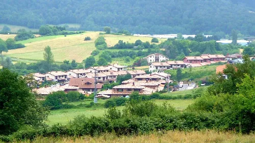
Urkabustaiz is a municipality in Álava, Basque Country, known for its elevated terrain and vibrant local culture.
The main cultural event in Urkabustaiz is the Fiestas Patronales of Izarra, celebrated in October in honor of Nuestra Señora la Virgen del Rosario. These festivities are rooted in religious traditions and include a major Mass, where the community gathers to honor their patron saint.
Own text, written with AI assistance from the facts in Wikipedia · Urkabustaiz · Data: Wikidata Q1445218 · Photos: Wikimedia Commons, see individual licenses. · CC BY-SA 4.0