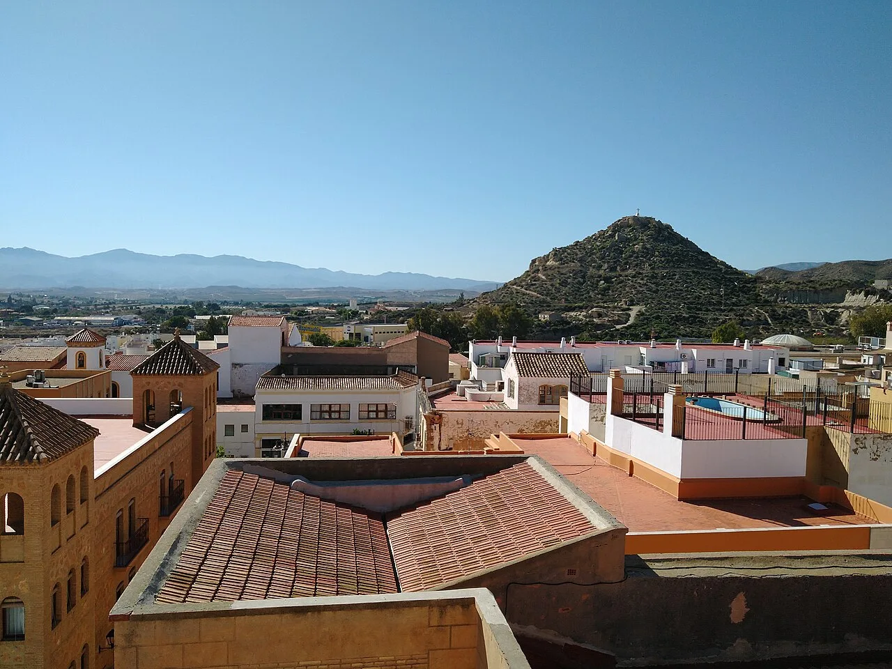
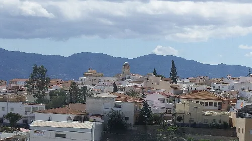
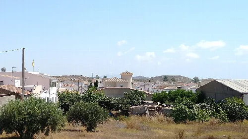
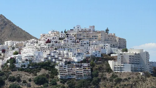
Roofs and houses in Vera with a hill in the background. Ismael Olea, CC BY 4.0

Vera

Andalusia

20,282Population
58 km²Area
95 mElevation
04620Postal code

Vera is a municipality located in the eastern part of the Levante Almeriense comarca in Almería province, Andalusia. Known for its Mediterranean coastline and rich historical heritage, it features a blend of cultural influences and natural beauty.

02Geography

Vera is situated 86 km from the provincial capital, Almería, and features a gentle slope descending from nearby mountains to the Mediterranean Sea. The municipality is characterized by its hydrological features, notably the Antas River and its associated ramblas, including the prominent rambla Nuño del Salvador. The elevation ranges from 193 m at El Hacho to sea level, with the town itself located at 102 m above sea level.

Natural parks
Includes the Special Conservation Area of the Antas River and the ZEIPIM of Marine Funds of Levante Almeriense.
Area of wetlands
Laguna de Puerto Rey and salar de los Canos.
Elevation range
From 0 m to 193 m.

03History

Vera has a rich historical background, with evidence of settlements dating back to the Copper Age. The area was known as Baria during Roman times and later became a significant location during the Caliphate of Córdoba. In 1488, it was captured by Fernando the Catholic, leading to its development as a royal town. A devastating earthquake in 1518 prompted the relocation and reconstruction of the town, which was fortified and redesigned.

Vera is a coastal municipality in Almería, Andalusia, known for its rich history and beautiful Mediterranean beaches.

04Cultural Heritage

Vera boasts a variety of cultural and historical sites, including the Iglesia fortaleza de Nuestra Señora de la Encarnación, a 16th-century church that served both religious and defensive purposes. The town also features several museums, including a thematic ethnographic park and a bullfighting museum, reflecting its rich traditions and history.

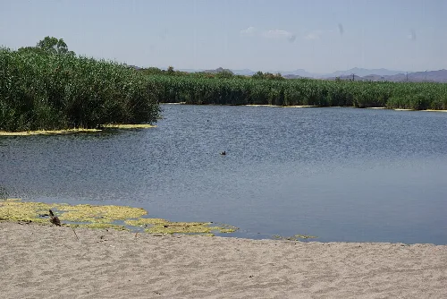
Lagoon with vegetation and beach in Vera, Almería.
View of a lagoon and beach in Vera, with vegetation and mountains in the background.
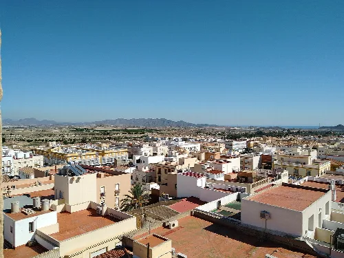
View of white houses and mountains in Vera.
Panoramic view of Vera with white houses and mountains in the background under a clear sky.

05Economy and Daily Life

Vera serves as a commercial hub for the Levante Almeriense, hosting a traditional market every Saturday where local farmers sell their produce. The economy has evolved from mining and agriculture to include tourism, particularly along its coastline, which has become a popular destination.

Vera · Data
Province
Almería
Autonomous community
Andalusia
Population
20,282
Area
58 km²
Elevation
95 m
Postal code
04620
Website
http://www.vera.es/
Coordinates
37.2475, -1.8678

Photos

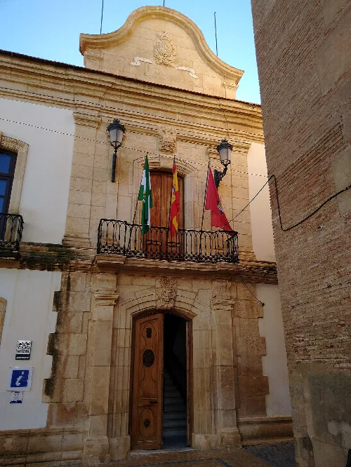
Facade of a building with flags and stone details in Vera.
Facade of a historic building in Vera with flags and stone architectural details.
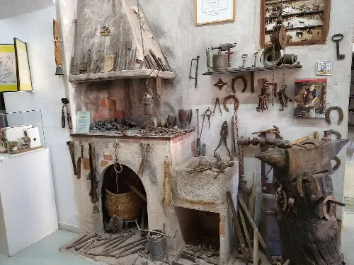
Tools and old objects on display in Vera's museum.
Interior of the ethnographic museum of Vera, with tools and traditional objects of old trades.
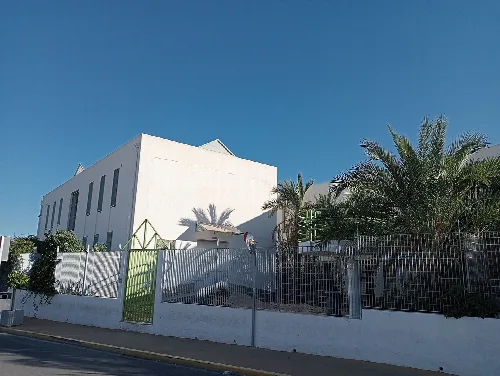
School building with white walls and palm trees in Vera.
Secondary school in Vera with a modern design and white walls under a blue sky.
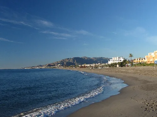
Beach with golden sand, calm sea, and buildings in Vera Playa.
El Playazo beach in Vera Playa, with golden sand and calm waters under a clear sky.
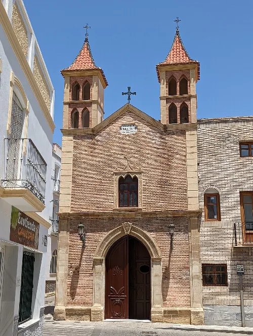
Church with two towers and a cross in Vera, Almería.
Church with two towers and a cross on top in Vera, Almería.

Frequently asked questions

What can you tell me about the history of Vera?

Vera has a rich history, with evidence of settlement dating back to the Copper Age. It was known as Bayra during the Moorish period and was fortified in the 12th century. The town was captured by Fernando the Catholic in 1488 and later rebuilt after a devastating earthquake in 1518. The new settlement featured defensive structures and notable churches, reflecting its historical significance in the region.

History

What are the main natural attractions in Vera?

Vera is home to notable natural attractions, including the wetlands of Laguna de Puerto Rey and the special conservation area of the Río Antas. These areas support diverse ecosystems and are part of the Natura 2000 network, showcasing the region's rich biodiversity and natural beauty.

Nature

What is the significance of the church Nuestra Señora de la Encarnación?

The church Nuestra Señora de la Encarnación, built between 1521 and 1524, is a cultural landmark in Vera. It is designed as a fortress with a Mudéjar-Andalusian style, serving both religious and defensive purposes. Its interior features late Gothic elements, making it a significant example of the town's architectural heritage.

Sights Nuestra Señora de la Encarnación

What are some typical dishes from Vera?

Vera offers a variety of traditional dishes, including gurullos with rabbit, torticas de avío, and ajo colorao. These dishes reflect the local culinary heritage, often enjoyed during celebrations like the Día de la Vieja, where children participate in fun activities involving a paper effigy.

Food & drink

What is the Semana Santa like in Vera?

Vera's Semana Santa is recognized as an Andalusian tourist interest, featuring several processions throughout the week. Notable events include the Borriquita procession on Palm Sunday and the solemn Good Friday processions, showcasing the town's rich religious traditions and community involvement.

Festivals & events

What are the main beaches in Vera?

Vera boasts several beautiful beaches, including Playa de Puerto Rey and Las Marinas-Bolaga. These beaches are known for their accessibility and facilities, with nudism practiced at the northern section of Playa el Playazo, making them popular spots for both locals and tourists.

Nature

How can I get to Vera from Almería?

To reach Vera from Almería, you can take the N-340a road, which connects to the A-7 motorway. There is also a bus station in Vera offering services to Almería and other nearby towns, making transportation convenient for visitors.

Getting there

What is the Plaza de Toros in Vera?

The Plaza de Toros in Vera, built in 1879, is a neo-Arab style bullring that also houses a bullfighting museum. It serves as a cultural venue, showcasing the history of bullfighting in the region and hosting various events throughout the year.

Sights Plaza de Toros

What is the significance of the Cerro del Espíritu Santo?

Cerro del Espíritu Santo is an important archaeological site in Vera, featuring remnants of a castle, cistern, and medieval walls. It reflects the town's historical evolution and offers visitors a glimpse into its past, along with a scenic viewpoint.

History Cerro del Espíritu Santo

What kind of sports facilities are available in Vera?

Vera offers various sports facilities, including the Blas Infante Sports Pavilion, which can accommodate 2000 spectators, and a sports city with football fields and an athletics track. These facilities support a range of sporting activities for residents and visitors alike.

Practical For residents

Map

Nearby

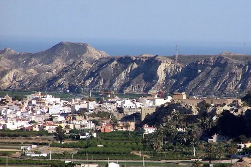
Urban landscape of Antas with mountains and houses.
Antas
Almería · 3,472 inhabitants
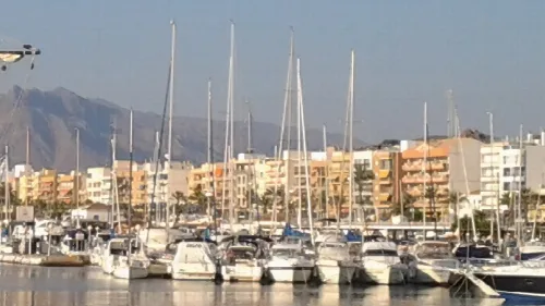
Boats in Garrucha's port with buildings and mountains in the background.
Garrucha
Almería · 10,845 inhabitants
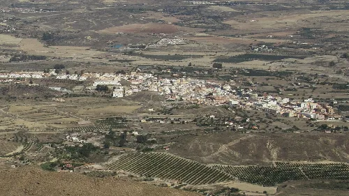
Aerial view of a town with agricultural fields in Almería.
Turre
Almería · 4,361 inhabitants
View of Mojácar with white houses on a hill.
Mojácar
Almería · 7,680 inhabitants

Own text, written with AI assistance from the facts in Wikipedia · Vera, Spain · Data: Wikidata Q1157971 · Photos: Wikimedia Commons, see individual licenses. · CC BY-SA 4.0