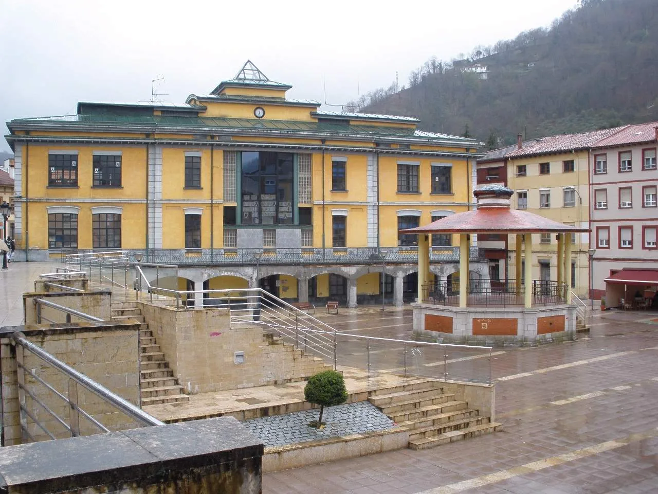
Town hall building in Sotrondio with square and fountain in front. Zarateman, CC0

Samartín del Rei Aurelio

Asturias

15,531Population
55.05 km²Area
33950Postal code

San Martín del Rey Aurelio is a municipality in the Asturias region of Spain, known for its rich industrial heritage and picturesque valleys. It comprises three main districts: Sotrondio, El Entrego, and Blimea, which were unified into a single city in 2007.

02Geography

The municipality of San Martín del Rey Aurelio is characterized by a series of valleys and ridges that drain into the Nalón River, which runs through the central part of the area. The higher elevations are part of the Protected Landscape of the Mining Basins of Asturias, with an average altitude of 340 meters in the plains and peaks reaching up to 1000 meters.

High point
1000 meters
Average elevation
340 meters
Major valleys
San Mamés, La Cerezal, La Invernal, Bédavo, San Vicente, Lantero, La Magdalena, La Encarnada, L'Agüeria de Blimea, La Güeria de Carrocera

03History

San Martín del Rey Aurelio's history is intertwined with that of Langreo until 1837, when it became an independent municipality. The area has evidence of prehistoric settlements, and during the 8th century, it served as the capital of the Kingdom of Asturias under King Aurelio.

Explore San Martín del Rey Aurelio, a municipality in Asturias known for its industrial heritage and scenic valleys.

04Economy

The economy of San Martín del Rey Aurelio has shifted over the years, with the tertiary sector now dominating, particularly in services such as commerce and hospitality. The primary sector, mainly agriculture, represents a small portion of employment, while the secondary sector has declined significantly due to the reduction of mining activities.

Primary sector employment
3.1%
Main agricultural activity
Cattle farming (mixed meat and dairy)
Current industrial focus
Small businesses in new industrial parks.
Historical significance
Once a major center for coal mining.
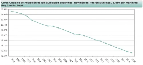
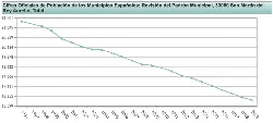
Line graph with a steady decline in population from 1996 to 2019.
Line graph showing the decline in population in San Martín del Rey Aurelio from 1996 to 2019.
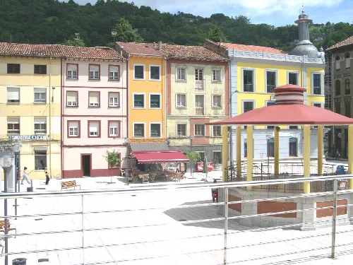
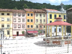
Square with colorful buildings and kiosk structure in Sotrondio, Asturias.
Square in Sotrondio with colorful buildings and a kiosk structure in the foreground

05Cultural Heritage

San Martín del Rey Aurelio boasts a rich industrial heritage, with numerous mining sites and historical buildings. Key attractions include the Museum of Mining of Asturias and various religious structures, such as the church of San Martín de Tours, which is believed to house the remains of King Aurelio.

Samartín del Rei Aurelio · Data
Province
Asturias
Autonomous community
Asturias
Population
15,531
Area
55.05 km²
Postal code
33950
Website
http://www.smra.org
Coordinates
43.2750, -5.6138

Photos

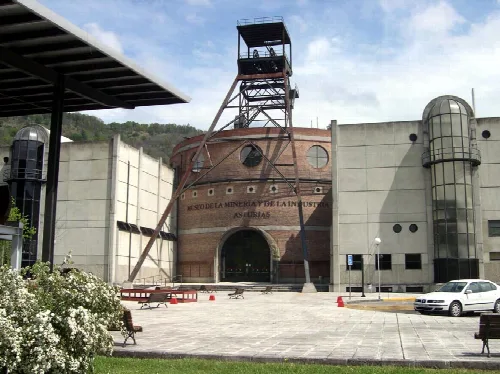
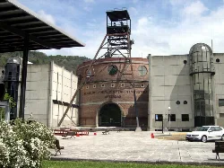
Museum building with a mining tower and arched entrance.
Mining and Industry Museum in San Martín del Rey Aurelio with a mining tower structure at the entrance.
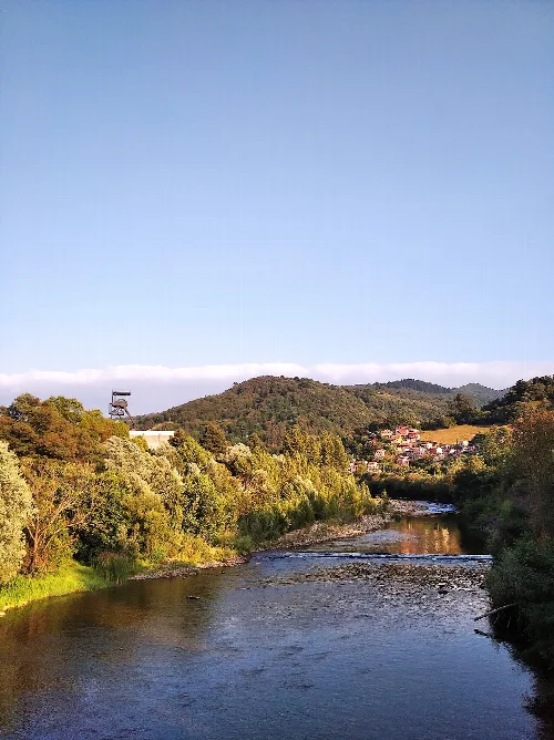
Nalón River with trees and hills, and a museum in the distance in Asturias
The Nalón River and the Asturias Mining Museum at the border between Langreo and San Martín del Rey Aurelio
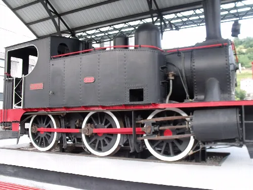
Old locomotive on display at a museum
Old RENFE locomotive 030-0232 at the Mining and Industry Museum in El Entrego, San Martín del Rey Aurelio
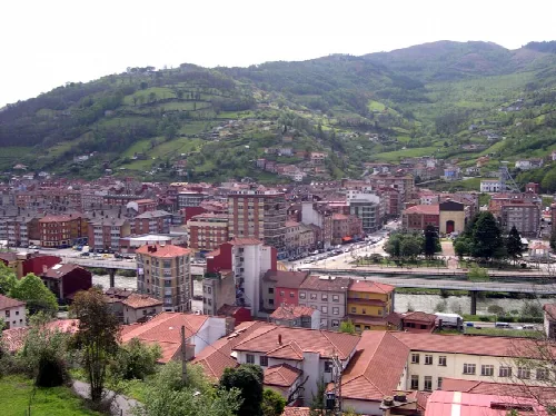
View of buildings and green mountains in L'Entregu from L'acebal.
View of L'Entregu from L'acebal, with buildings and green mountains in the background.
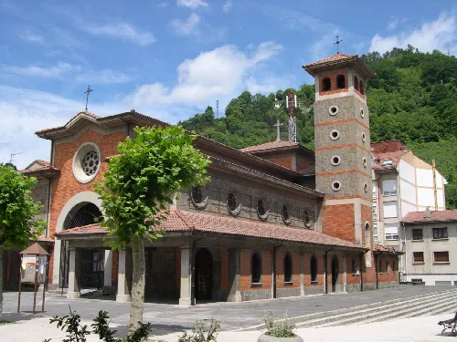
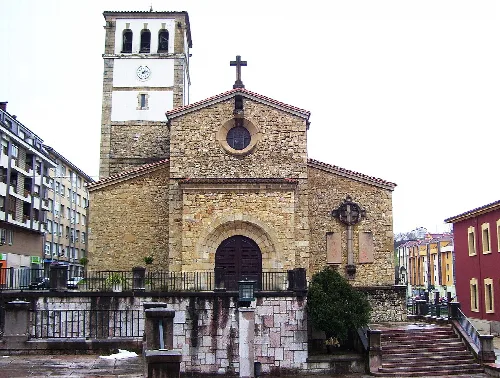
Church in Sotrondio with brick bell tower and green trees.
The church in Sotrondio, San Martín del Rey Aurelio, with a brick bell tower and surrounded by green trees in an urban setting.

Frequently asked questions

What is the history behind the name San Martín del Rey Aurelio?

The name refers to Aurelio I of Asturias, under whose reign the municipality served as the national capital in the 8th century. It became an independent municipality in the 19th century after separating from Langreo in 1837.

History
Museum building with a mining tower and arched entrance.

What can I see at the Muséu de la Minería de Asturias?

The Muséu de la Minería de Asturias, inaugurated in 1994, showcases the region's mining history. Visitors can explore old mining galleries and learn about the lives of miners through various exhibits, making it a significant cultural site.

Sights Muséu de la Minería de Asturias

What are the main districts of San Martín del Rey Aurelio?

San Martín del Rey Aurelio comprises three main districts: Sotrondio, El Entrego, and Blimea. These areas are central to the municipality's identity and development, each offering unique characteristics and community life.

Living there For residents
Square with colorful buildings and kiosk structure in Sotrondio, Asturias.

What is the significance of the Plaza Sotrondio?

Plaza Sotrondio serves as a central gathering place in the municipality, featuring notable architecture and public spaces. It reflects the community's social life and is often used for local events and celebrations.

Sights Plaza Sotrondio

Are there any traditional festivals in San Martín del Rey Aurelio?

Yes, San Martín del Rey Aurelio hosts several traditional festivals. Notable ones include the Descorche de la Sidra in May, the fiestas of San Martín in July, and the Jornadas gastronómicas de los Nabos in November, celebrating local culture and cuisine.

Festivals & events

What is the climate like in San Martín del Rey Aurelio?

San Martín del Rey Aurelio has an oceanic climate typical of Asturias, characterized by mild temperatures and moderate rainfall. However, it experiences a slight decrease in average precipitation compared to other areas in the region.

Nature For residents
Line graph with a steady decline in population from 1996 to 2019.

What is the population trend in San Martín del Rey Aurelio?

The population of San Martín del Rey Aurelio has seen fluctuations over the years. It grew significantly during the late 19th and early 20th centuries due to mining but has declined in recent years, reflecting changes in the local economy.

Living there For residents

What are the main economic activities in San Martín del Rey Aurelio?

Historically, mining was the primary economic activity in San Martín del Rey Aurelio. However, the sector has declined, and now the tertiary sector, including services, commerce, and some technology companies, has become more prominent.

Food & drink For residents

What can you tell me about the church of San Martín de Tours?

The church of San Martín de Tours is notable for being built over an earlier structure with possible pre-Romanesque elements. It is believed to be the burial site of King Aurelio, adding historical significance to its architecture.

Sights church of San Martín de Tours

What are the main valleys in San Martín del Rey Aurelio?

San Martín del Rey Aurelio is characterized by several valleys, including Valle de San Mamés, Valle de La Cerezal, and Valle de Bédavo. These valleys are essential for the municipality's geography and community structure.

Nature For residents

Map

Nearby

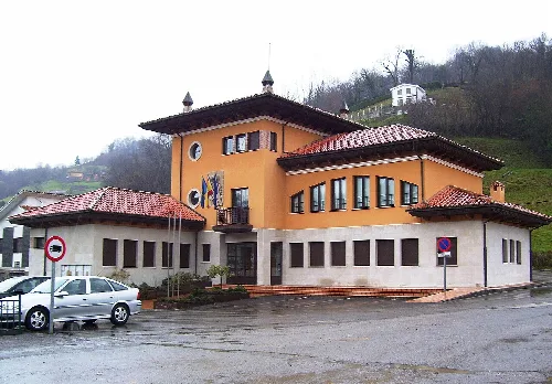
Town hall building of Bimenes with multiple windows and a red roof.
Bimenes
Asturias · 1,639 inhabitants
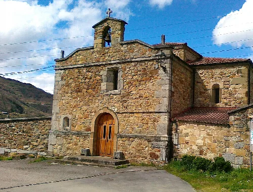
Stone sanctuary façade with wooden door in Laviana.
Llaviana
Asturias · 12,352 inhabitants
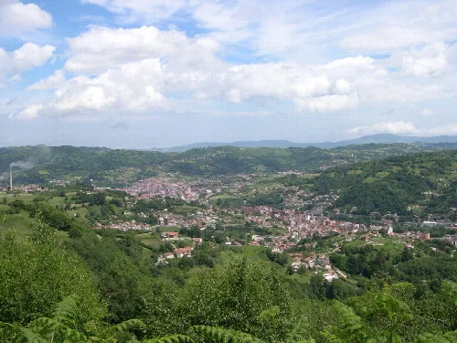
Landscape of Llangreu Valley with green hills and cloudy sky.
Langreo
Asturias · 38,612 inhabitants
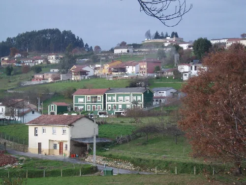
Rural landscape with houses and trees in Siero, Asturias.
Siero
Asturias · 53,049 inhabitants
Stone facade of Nava church with bell tower and cross on top.
Nava
Asturias · 5,244 inhabitants
Landscape of Noreña seen from the river, with houses and trees.
Noreña
Asturias · 5,131 inhabitants

Own text, written with AI assistance from the facts in Wikipedia · San Martín del Rey Aurelio · Data: Wikidata Q818368 · Photos: Wikimedia Commons, see individual licenses. · CC BY-SA 4.0