espana.net
 Hovallef, CC BY-SA 4.0
Extremadura
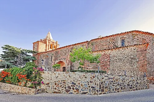
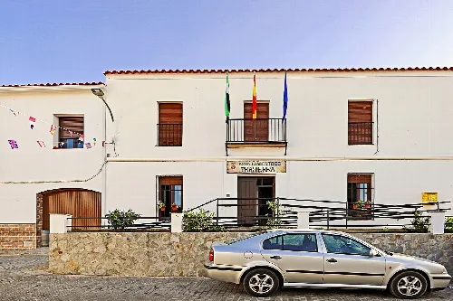
Trasierra is a municipality located in the province of Badajoz, Extremadura, characterized by its mountainous terrain and rich cultural heritage. The town is known for its beautiful landscapes, traditional architecture, and local festivities.
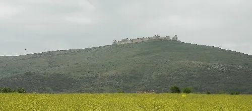
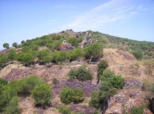
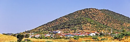
Trasierra is situated on the slopes of the Sierra de San Bernardo, adjacent to Llerena. The area is part of the Campiña Sur comarca and features a rugged, mountainous landscape filled with lush vegetation. The region is notable for its ethnographic value, with numerous stone huts and remnants of industrial archaeology that reflect its historical significance.
Trasierra was founded by Pelay Pérez Correa and was part of the León province of the Order of Santiago in 1594. Following the fall of the Ancien Régime, it became a constitutional municipality in Extremadura. The town has undergone various demographic changes over the centuries, with notable population counts recorded in the 19th century.
Trasierra is a municipality in Badajoz, Extremadura, known for its mountainous terrain and rich cultural heritage.
The local economy of Trasierra is significantly influenced by agriculture, particularly olive oil production, which is a staple in many traditional dishes. The community also engages in the custom of matanza, where families gather to process pork for year-round consumption.

Own text, written with AI assistance from the facts in Wikipedia · Trasierra · Data: Wikidata Q952282 · Photos: Wikimedia Commons, see individual licenses. · CC BY-SA 4.0