espana.net
 Lito Encinas, CC BY-SA 4.0
Extremadura
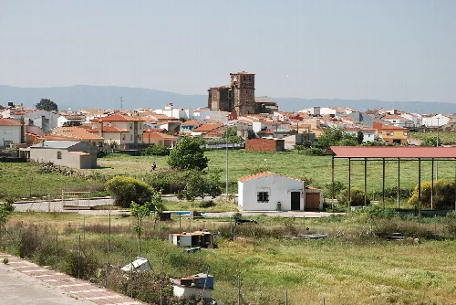
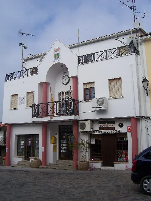
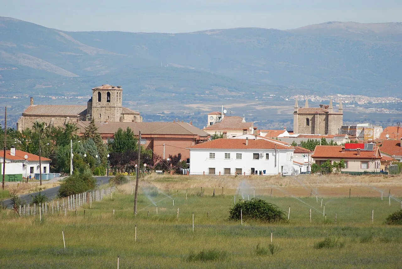
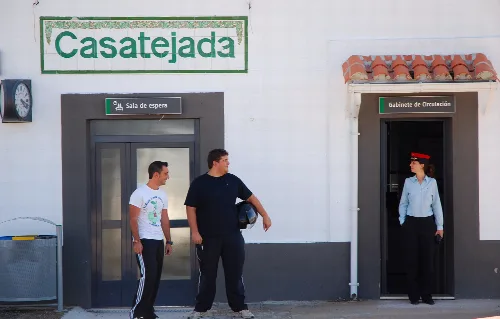
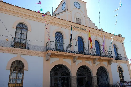
Casatejada is a municipality located in the province of Cáceres, Extremadura, known for its historical significance and royal connections. The town, which includes the locality of Baldío, has a population of 1,393 and features notable landmarks such as the Palacio de las Cabezas and several religious monuments.
Casatejada is situated in the Campo Arañuelo region, adjacent to the EX-A1 motorway that connects Plasencia with Navalmoral de la Mata. The municipality shares borders with several towns, including Toril and Majadas de Tiétar to the west, Jaraíz de la Vera and Collado de la Vera to the north, Talayuela and Navalmoral de la Mata to the east, and Saucedilla to the south.
The origins of Casatejada are unclear, but it was the most populated area in the region by 1571. The town experienced significant population declines due to wars and diseases over the centuries, including the War of Succession and the War of Independence against France, which devastated its infrastructure.
Casatejada is a historic municipality in Cáceres, Extremadura, known for its royal connections and significant landmarks.
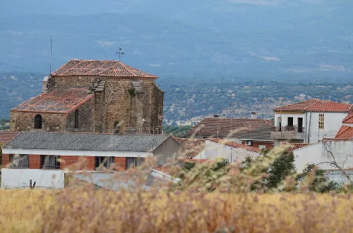
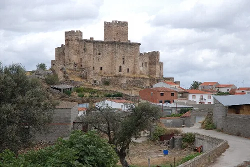
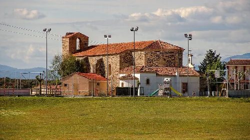
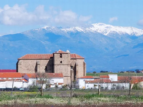
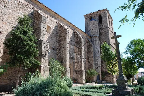
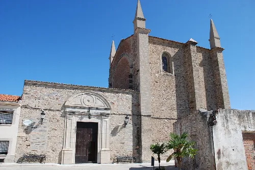
Casatejada is home to several notable religious monuments, including the Iglesia de San Pedro ad Vincula and the Ermita de Nuestra Señora de la Soledad. The Palacio de las Cabezas, built in 1876, is a significant neogothic structure that dominates the landscape.
Own text, written with AI assistance from the facts in Wikipedia · Casatejada · Data: Wikidata Q1613382 · Photos: Wikimedia Commons, see individual licenses. · CC BY-SA 4.0