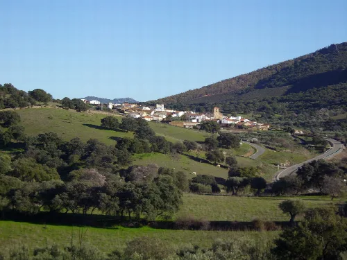
What is the history behind the name 'Saucedilla'?
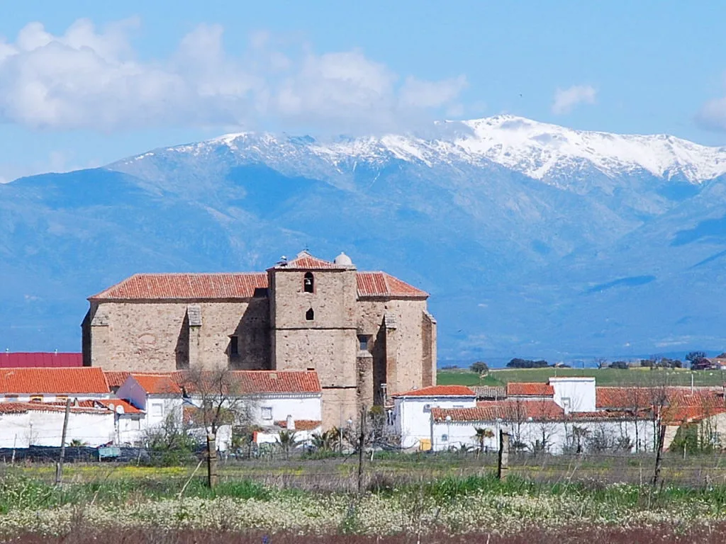
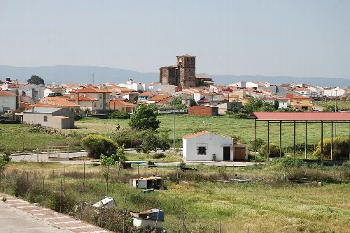
The name 'Saucedilla' derives from the word 'sauce', which is abundant in the area. The town was founded in the mid-14th century during the Reconquista by settlers from Collado de la Vera, initially living in temporary structures. Over time, these became permanent homes, leading to the establishment of the village.
History
For residents
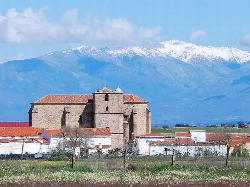
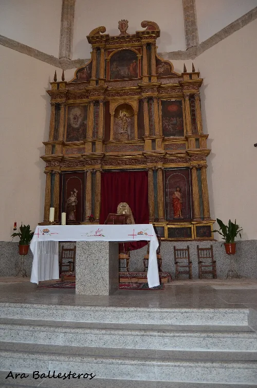
What can I see at the Iglesia San Juan Bautista?
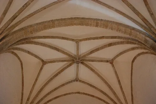
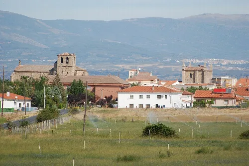
The Iglesia San Juan Bautista, built in the 16th century, features stunning star-shaped ribbed vaults designed by master Sancho de Cabrera. It is a significant historical landmark in Saucedilla, reflecting the architectural style of its time. Visitors can appreciate its unique design and historical importance.
Sights
Iglesia San Juan Bautista
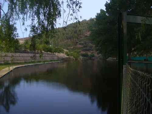
Are there any natural areas to explore in Saucedilla?
Yes, Saucedilla is surrounded by dehesas, which are open forests of holm oaks and cork oaks. These areas are ideal for livestock grazing and provide a unique ecosystem. Additionally, the nearby Embalse de Arrocampo offers opportunities for birdwatching and enjoying nature.
Nature
What is the significance of the Embalse de Arrocampo?
The Embalse de Arrocampo serves as a crucial cooling circuit for the nearby Central Nuclear de Almaraz. It covers 770 hectares and supports diverse ecosystems, making it a key area for observing various bird species, particularly during migration seasons.
Nature
Embalse de Arrocampo
What kind of food is typical in Saucedilla?
In Saucedilla, traditional dishes often include local produce such as vegetables, legumes, and meats. The region is known for its agricultural products, including almonds and olives, which feature prominently in local cuisine. Visitors can enjoy rustic meals reflecting the area's agricultural heritage.
Food & drink
What wildlife can I expect to see around Saucedilla?
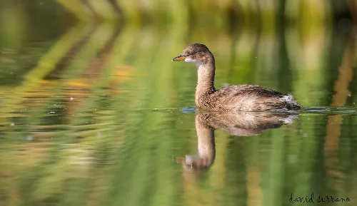
Saucedilla is rich in wildlife, especially around the Embalse de Arrocampo, where various bird species thrive. You may spot herons, cormorants, and even the elusive purple heron. The dehesas also host diverse fauna, including deer and various bird species, making it a great spot for nature enthusiasts.
Nature
What events take place in Saucedilla throughout the year?
Saucedilla hosts various local events, particularly during traditional festivals that celebrate local culture and heritage. These events often include music, dance, and food, providing a vibrant atmosphere for residents and visitors alike to enjoy the community spirit.
Festivals & events
For residents
How is the climate in Saucedilla?
Saucedilla has a Mediterranean subtropical climate, characterized by mild winters with average temperatures around 8°C and hot, dry summers that can reach up to 39°C. The area experiences occasional fog due to the nearby embalse, creating a unique microclimate.
Living there
For residents
What is the Torreta de elevación de agua?
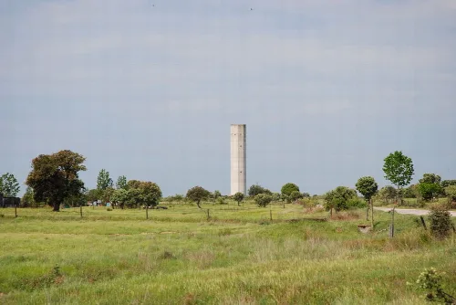
The Torreta de elevación de agua is a water elevation tower used for irrigation in Saucedilla. It is a notable feature of the landscape, reflecting the agricultural practices in the area, particularly the use of irrigation to support local farming activities.
Sights
Torreta de elevación de agua
What is the significance of the Cañada Real Leonesa Occidental?
The Cañada Real Leonesa Occidental is an important historical cattle route that runs through Saucedilla. It is valued by locals for its cultural significance and is well-documented, featuring a resting area for livestock. This route connects various regions and reflects the area's pastoral traditions.
History
For residents
 espana.net