espana.net
 19Tarrestnom65, CC BY-SA 4.0
Extremadura
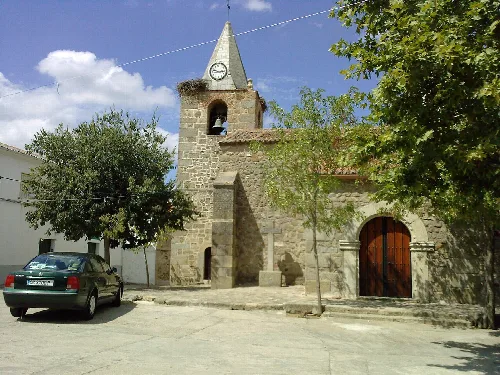
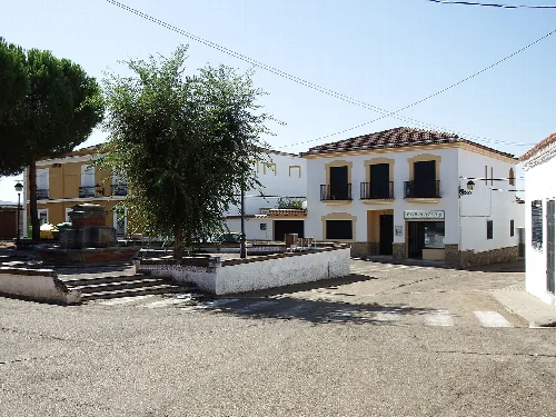
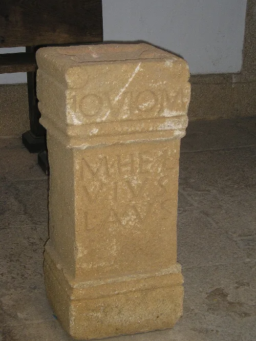
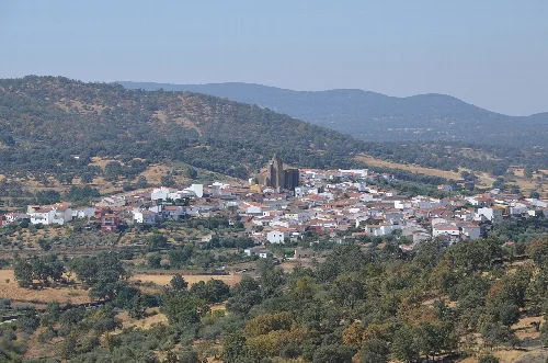
Zorita is a municipality in the province of Cáceres, Extremadura, known for its rich natural surroundings and agricultural economy. With a population of 1,223, it features a blend of historical and cultural elements, including traditional festivals and local associations.
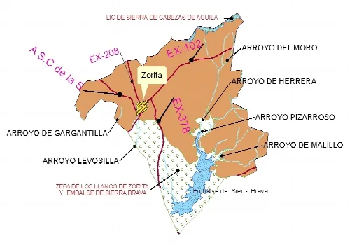
Zorita is situated on relatively flat terrain, interspersed with notable elevations such as the Peña and Cabeza del Águila mountains. The municipality is characterized by steep slopes exceeding 20% in some areas and is bordered by various natural features including rivers and streams that contribute to its hydrology.
The name Zorita derives from the local term for the wild dove, 'zurita', which was historically abundant in the area. The region has seen various name changes over time, with earlier references to it as 'Zuferola' and connections to the river Zújar, an important tributary of the Guadiana.
Zorita is a municipality in Cáceres, Extremadura, known for its agriculture and cultural heritage.
Zorita's economy is primarily based on traditional agriculture and livestock farming, which dominate the local landscape. The service sector employs over 20% of the population, while construction and industry also contribute to the local economy.
Despite a declining population, Zorita maintains a vibrant cultural scene with various associations and local festivals. The community engages actively in cultural activities, with a focus on preserving traditions and fostering social ties.
Own text, written with AI assistance from the facts in Wikipedia · Zorita, Cáceres · Data: Wikidata Q1628569 · Photos: Wikimedia Commons, see individual licenses. · CC BY-SA 4.0