espana.net
 19Tarrestnom65, CC BY-SA 4.0
Extremadura
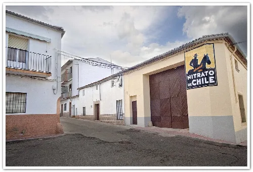
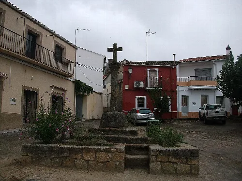
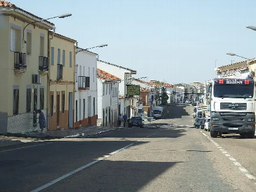
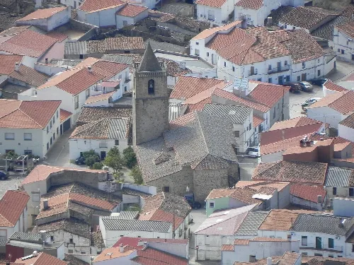
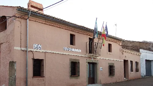
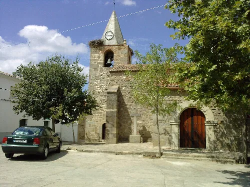
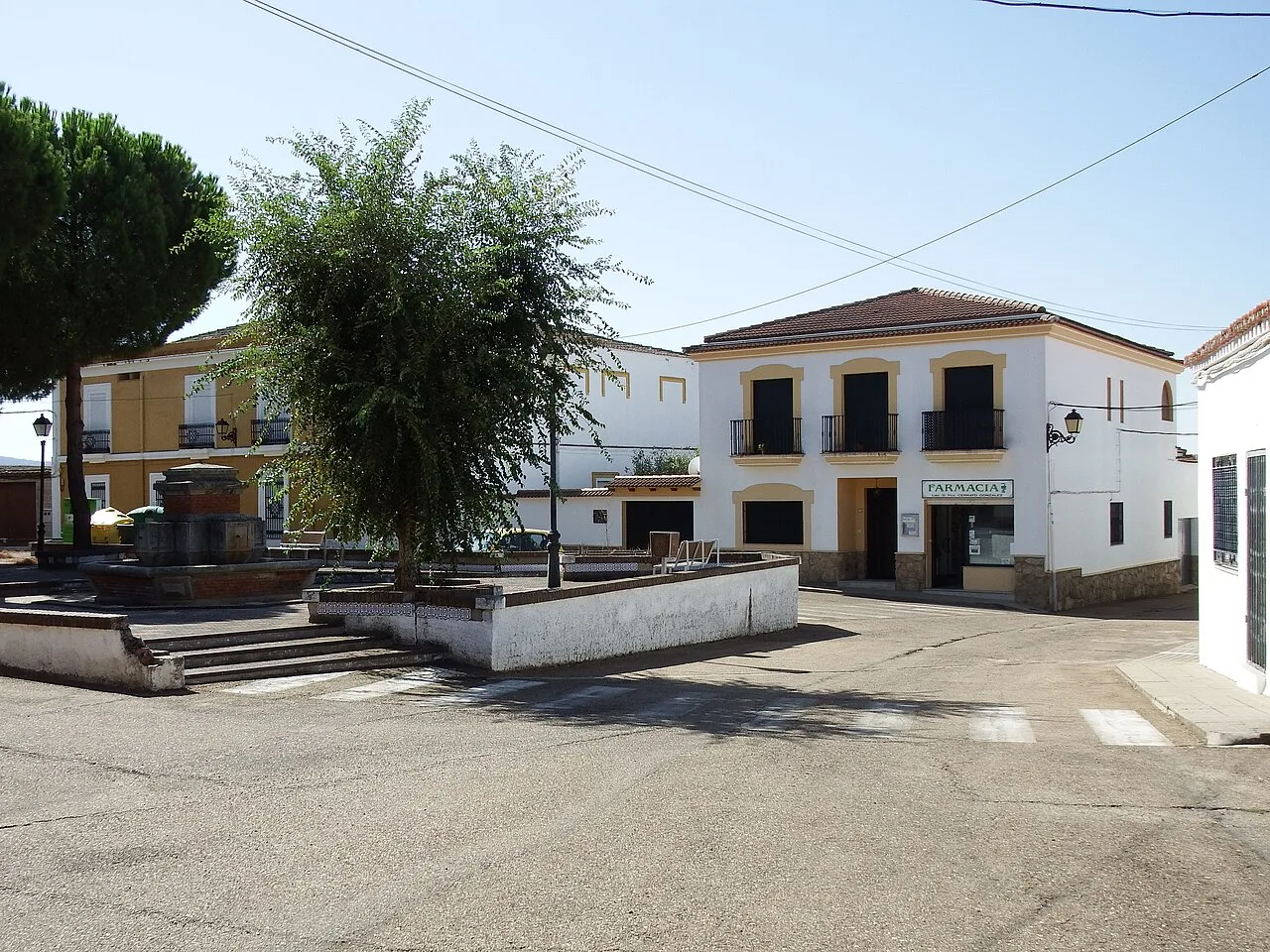
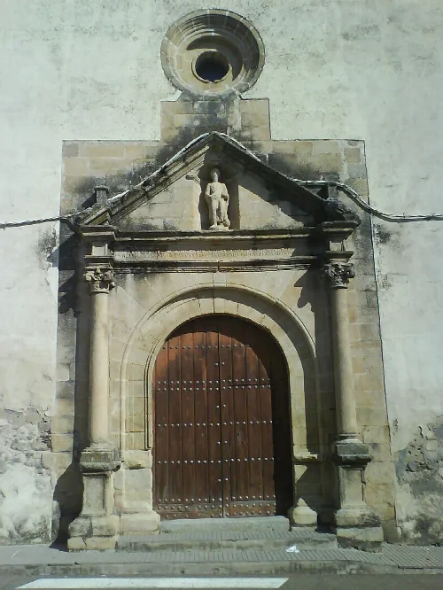
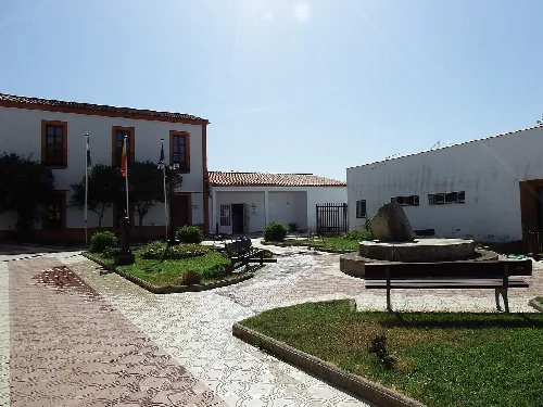
Herguijuela (Spanish pronunciation: [eɾɣiˈxwela]) is a municipality located in the province of Cáceres, Extremadura, western Spain.
Text based on Wikipedia · Herguijuela · Data: Wikidata Q1646381 · Photos: Wikimedia Commons, see individual licenses. · CC BY-SA 4.0