espana.net
 Juan Pablo Olmo from málaga, spain, CC BY 2.0
Andalusia
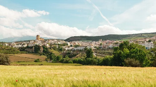
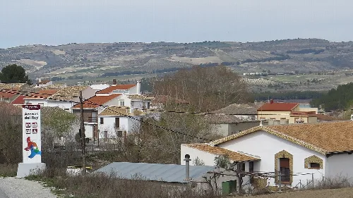
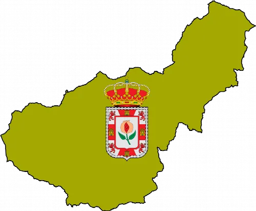
Cacín is a municipality located in the northern part of the Alhama comarca in Granada, Andalusia. Characterized by its agricultural economy and rich history, it features notable archaeological sites and traditional festivals.
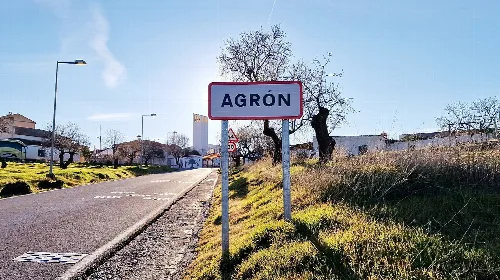
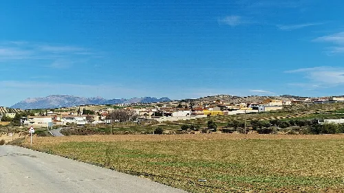
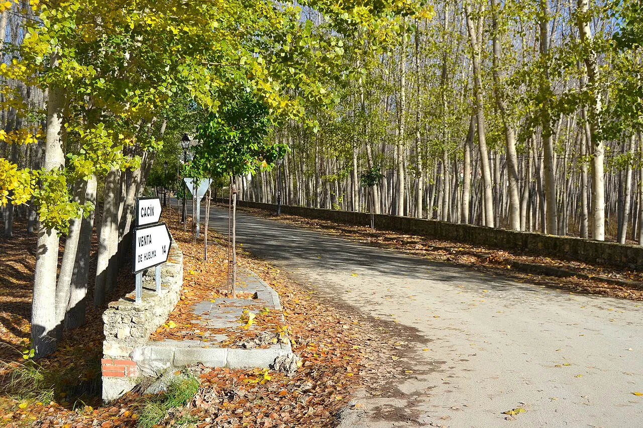
Cacín is situated on a plain along the right bank of the river of the same name, resulting in a grid-like street layout. The surrounding area is marked by the impressive tajos of Cacín, which the river flows through from the Bermejales reservoir. The municipality features several elevated points, including Cerro de la Atalaya de Agrón and Pingurucho, contributing to its diverse landscape.
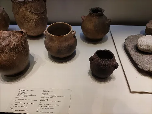
Cacín has a rich historical background, with archaeological findings in the Cueva de Cacín indicating Neolithic habitation. The village itself was founded in the 18th century but has roots dating back to the Muslim era. It faced significant challenges, including reconstruction after a devastating earthquake in 1884.
Cacín, a municipality in Granada, Andalusia, is known for its agriculture, history, and vibrant local festivals.
The economy of Cacín is predominantly agricultural, focusing on crops such as almonds, olives, and various vegetables. The community also celebrates several traditional festivals, including those honoring San Sebastián and the unique candelarias.
Own text, written with AI assistance from the facts in Wikipedia · Cacín · Data: Wikidata Q554253 · Photos: Wikimedia Commons, see individual licenses. · CC BY-SA 4.0