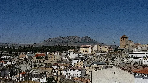
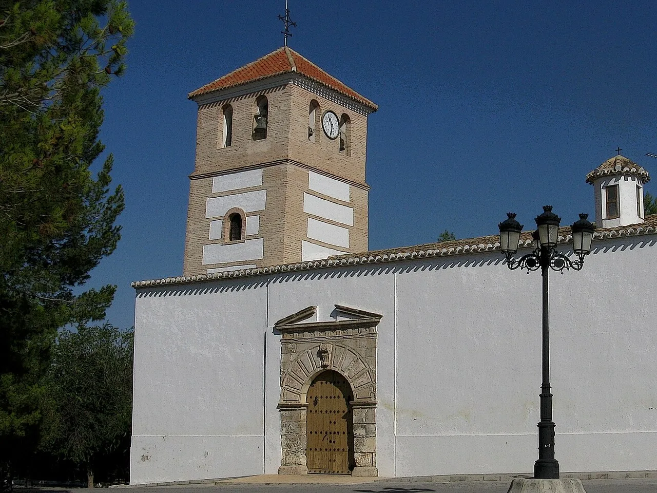
Church with tower and clock in Cortes de Baza, Granada, Spain. agracier - NO VIEWS, CC BY-SA 3.0

Cortes de Baza

Andalusia

1,769Population
141 km²Area
701 mElevation
18814Postal code

Cortes de Baza is a municipality located in the northern part of the Baza comarca in Granada, Andalusia. Characterized by its rich history and agricultural economy, it features several population centers and a variety of cultural traditions.

02Geography

Cortes de Baza is situated within the Baza comarca, bordered by several municipalities including Zújar, Baza, and Benamaurel. The municipality encompasses various population centers, with Cortes de Baza being the capital. The area is traversed by the Castril River, contributing to its agricultural landscape.

Climate
Mediterranean with continental traits
Patron saint
San Cosme and San Damián

03History

Cortes de Baza has a rich historical background, with evidence of the Argárica culture and various ancient civilizations, including Phoenicians and Romans. The area was later influenced by Muslim rule, becoming a small settlement known as Qultis, which was fortified during the Nasrid period.

Cortes de Baza is a historic municipality in Granada, Andalusia, known for its agricultural economy and cultural traditions.

04Culture and Economy

The local economy of Cortes de Baza is primarily based on agriculture, with an emerging focus on rural tourism, particularly through its unique cave houses. The municipality celebrates various festivals that reflect its cultural heritage, including traditional events and religious observances.
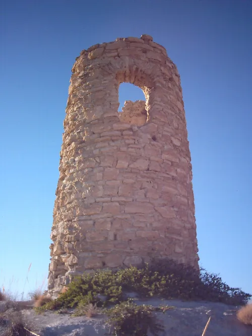
Stone tower with an arch at the top against a blue sky.
Torre de La Cañada, a 14th-century Nasrid defensive structure in Cortes de Baza, Granada.
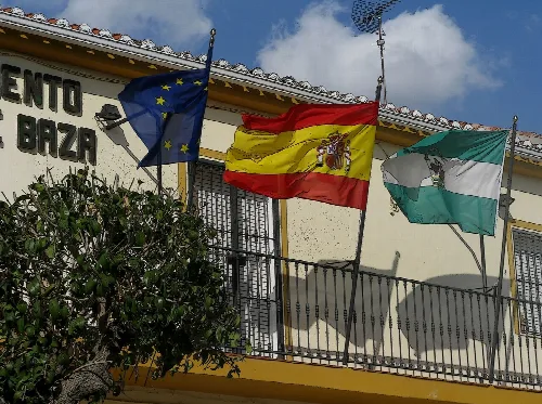
Three flags fly on a balcony of the town hall in Cortes de Baza.
European Union, Spain, and Andalusia flags on the town hall in Cortes de Baza.
Cortes de Baza · Data
Province
Granada
Autonomous community
Andalusia
Population
1,769
Area
141 km²
Elevation
701 m
Postal code
18814
Website
http://www.cortesdebaza.es/
Coordinates
37.6544, -2.7702

Photos

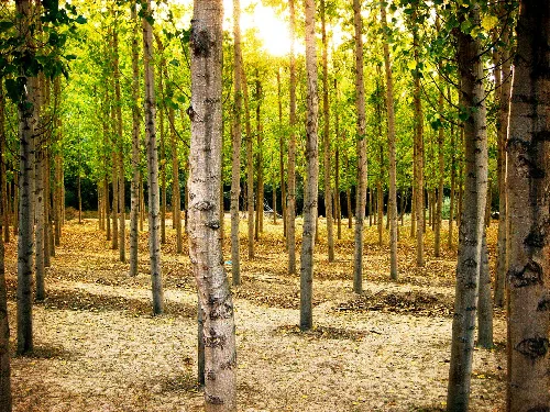
Poplar forest with tall trees and green leaves in Cortes de Baza.
Poplar forest in Cortes de Baza with tall trees and green leaves illuminated by sunlight.
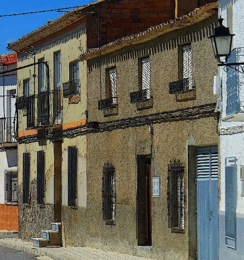
Building of houses with colorful walls and barred windows in Cortes de Baza.
Traditional houses in Cortes de Baza with colorful walls and barred windows.
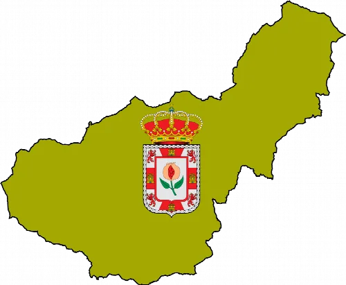
Map of Granada with the coat of arms and logo of Wikiproyecto Granada
Map of the Granada area with the Wikiproyecto Granada logo in the center
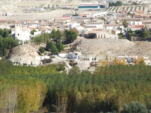
View of Cortes de Baza with white houses, church, and greenery.
Panoramic view of Cortes de Baza, with white houses and a church in the center, surrounded by greenery and hills.

Map

Nearby

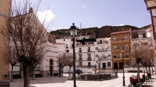
Square with trees, lampposts, and white and beige buildings in Zújar, Granada.
Zújar
Granada · 2,655 inhabitants
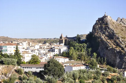
View of Castril with church and castle on the hill, in a natural park.
Castril
Granada · 1,927 inhabitants
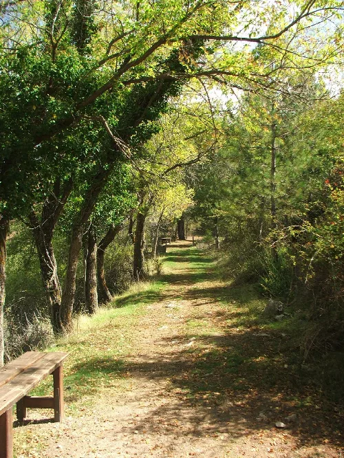
Dirt path with trees on both sides in a natural park.
Baza
Granada · 20,587 inhabitants

Own text, written with AI assistance from the facts in Wikipedia · Cortes de Baza · Data: Wikidata Q557947 · Photos: Wikimedia Commons, see individual licenses. · CC BY-SA 4.0