espana.net
 Pepepitos, Public domain
Andalusia
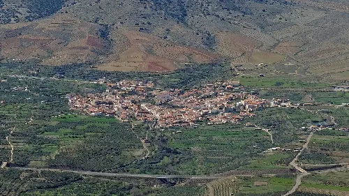
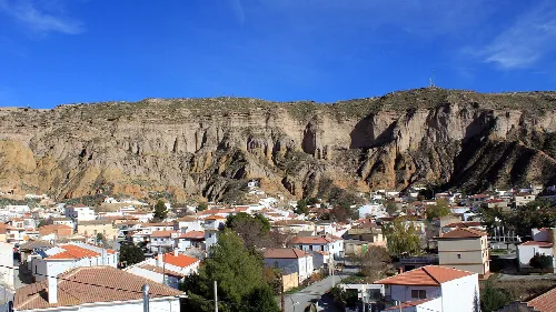
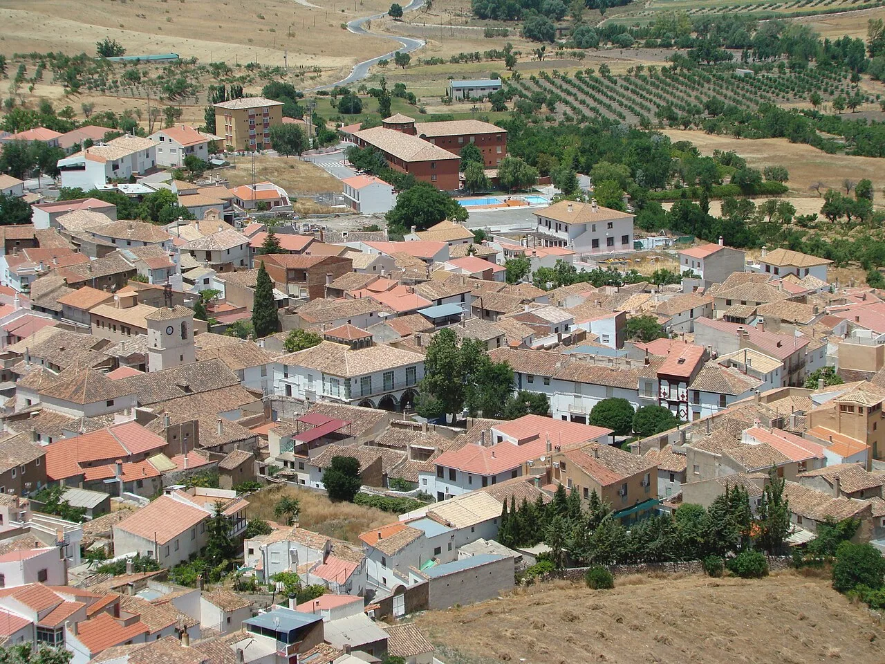
Gor is a municipality located in the eastern part of the Guadix comarca in Granada, Andalusia. Characterized by its mountainous terrain and rich agricultural activities, it features a population of 766 residents and is home to the river Gor, which flows through a deep canyon in the area.
Gor is situated within the Guadix comarca, approximately 85 kilometers from Granada and surrounded by several municipalities including Guadix and Baza. The area is characterized by its elevation, ranging from 1200 to 2150 meters above sea level, and features a continental climate with cold winters and mild summers. The Sierra de Baza Natural Park occupies a significant portion of the municipality, where the river Gor originates and flows through a fertile canyon.
The arrival of the railway in the early 20th century marked a significant development for Gor, with the opening of the Baza-Guadix line. This connection facilitated transportation between Eastern Andalusia and Levante until its partial closure in 1985. However, the municipality has experienced a substantial decline in population since 1950, losing 83 percent of its residents by 2010.
Gor is a municipality in Granada, Andalusia, known for its mountainous landscape and agricultural heritage.
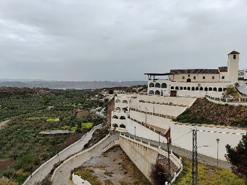
Gor celebrates its patron saint, San Cayetano, from August 6 to 10, featuring traditional events such as bull runs and processions. The local economy primarily revolves around agriculture and livestock, with recent growth in the service sector due to the establishment of a nursing home. Key crops include almonds, barley, and various forage plants.
Own text, written with AI assistance from the facts in Wikipedia · Gor, Granada · Data: Wikidata Q574434 · Photos: Wikimedia Commons, see individual licenses. · CC BY-SA 4.0