espana.net
 Veinticuatro de Jahén, CC BY-SA 4.0
Andalusia
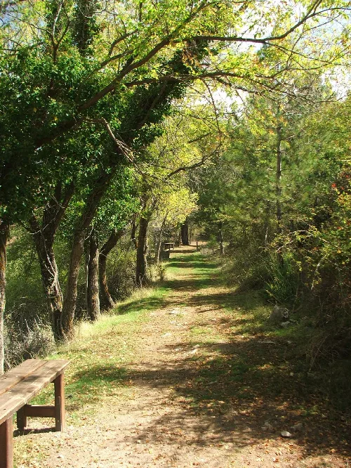
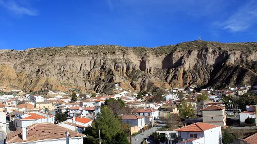
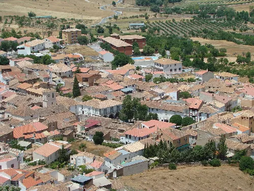
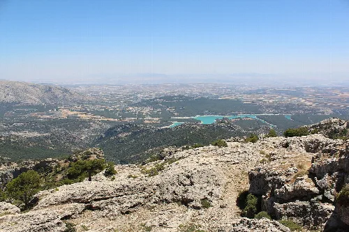
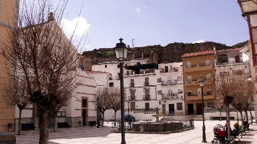
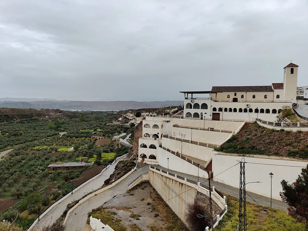
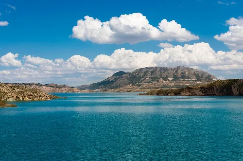
Freila is a municipality located in the western part of the Baza comarca in Granada, Andalusia. It is characterized by its scenic landscapes, including the Negratín reservoir, and a rich historical heritage.
Freila is situated within the Baza comarca, approximately 96 kilometers from the provincial capital. The municipality is traversed by the A-315 regional road, which connects Baza with Torreperogil, near Úbeda in Jaén. The area is part of the Geopark of Granada, featuring eroded landscapes surrounding the Negratín reservoir.
Freila's history includes its role in the defensive line of the Kingdom of Granada during the 14th century, with fortifications from the Almohad to Nasrid periods. After the Granada War in 1495, it was granted to Luis de Beaumont, returning to Baza's jurisdiction in 1501. The town experienced significant population decline during the rural exodus of the late 20th century.
Freila is a municipality in Granada, Andalusia, known for its scenic landscapes and historical sites.
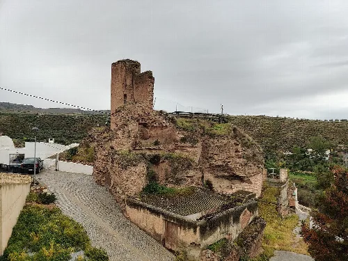
Freila is home to notable historical sites, including the Castillo de Freila, a Nasrid-era castle featuring a tower and sections of the wall. The Torre del Maruq, an Arab watchtower, is also nearby. The municipality hosts popular festivals each year, including celebrations on the first weekend of August, the Virgen de los Dolores on September 15, and San Marcos on April 25.
Own text, written with AI assistance from the facts in Wikipedia · Freila · Data: Wikidata Q574350 · Photos: Wikimedia Commons, see individual licenses. · CC BY-SA 4.0