espana.net
 No se ha podido leer automáticamente información sobre el autor; se asume que es Lionni (según los derechos de autor reclamados)., Public domain
Andalusia
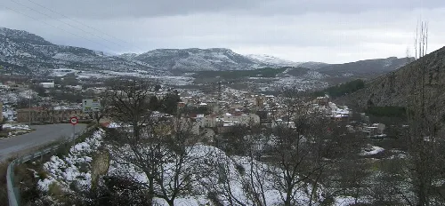
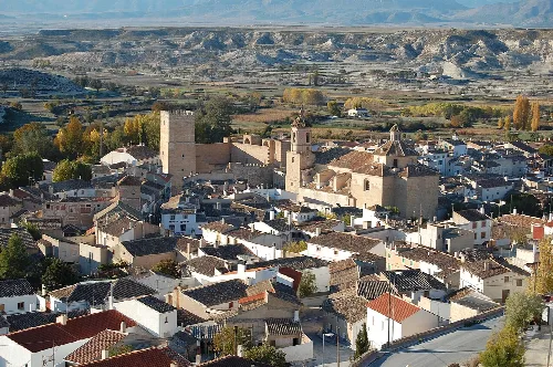
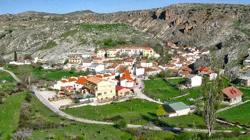
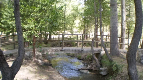
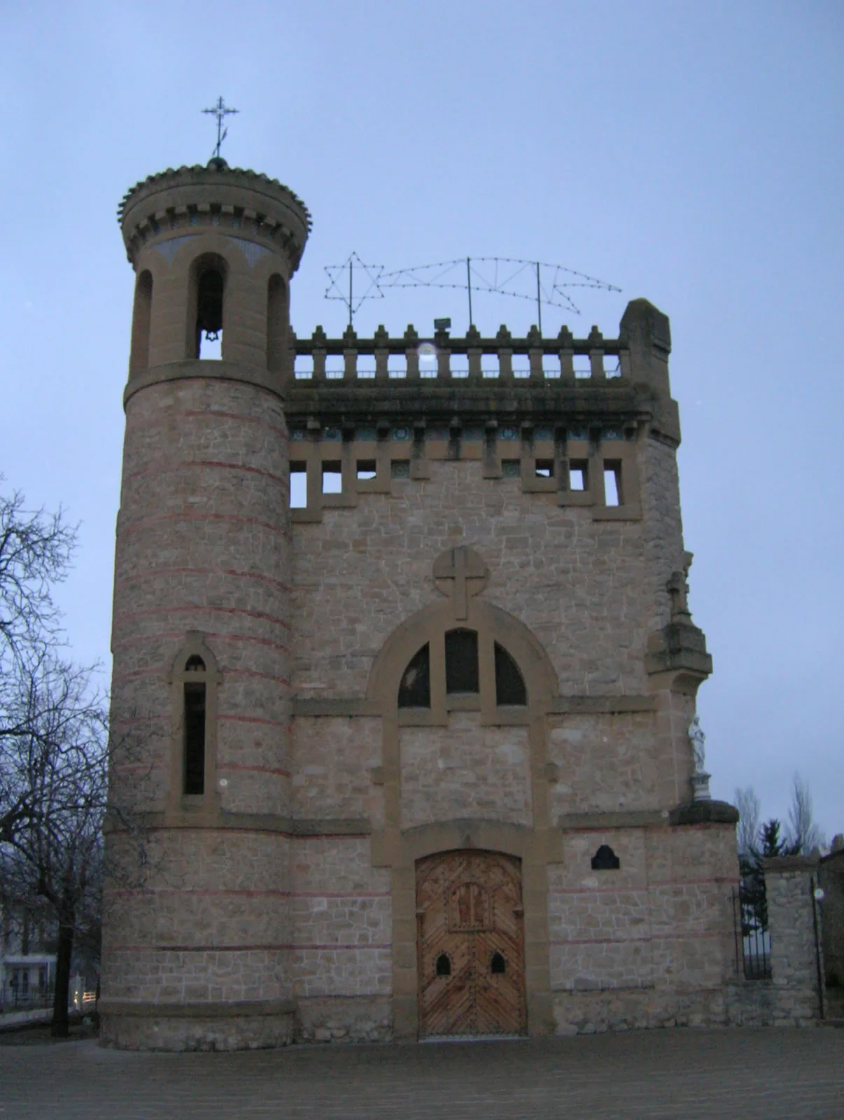
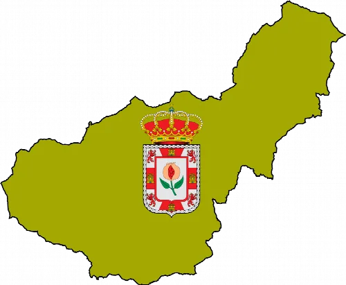
Puebla de Don Fadrique is a municipality located in the northeastern part of the Huéscar comarca in Granada, Andalusia. Known for its rich history and cultural heritage, it is the easternmost municipality in Granada, featuring a blend of traditions brought by settlers from Navarra.
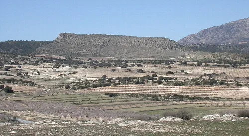
Puebla de Don Fadrique is situated at the foot of the Sierra de La Sagra, near the mountain known as El Calar. The municipality is strategically located at the intersection of several key roads, connecting it to various provinces, including Albacete, Almería, and Jaén. Its unique position makes it the only municipality in Granada that borders three different provinces.
The area now known as Puebla de Don Fadrique was originally a settlement called La Bolteruela in 1241. It gained prominence after the Catholic Monarchs reconquered the region in 1488. The settlement was officially named in 1525 after Don Fadrique Álvarez de Toledo, who repopulated the area with people from Navarra, bringing with them unique customs and traditions.
Puebla de Don Fadrique is a historic municipality in Granada, known for its rich cultural heritage and unique traditions.
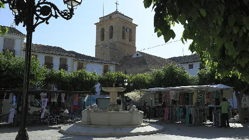
Puebla de Don Fadrique hosts several vibrant festivals, notably the celebrations for its patron saints, Alodía and Nunilón. These festivities include religious ceremonies and cultural activities such as bicycle marches and community gatherings. Another significant event is the Fiestas de las Ánimas, which take place from Christmas Eve to December 29, featuring traditional music and dances.
Own text, written with AI assistance from the facts in Wikipedia · Puebla de Don Fadrique · Data: Wikidata Q615841 · Photos: Wikimedia Commons, see individual licenses. · CC BY-SA 4.0