espana.net
 Marczoutendijk, CC BY-SA 4.0
Andalusia
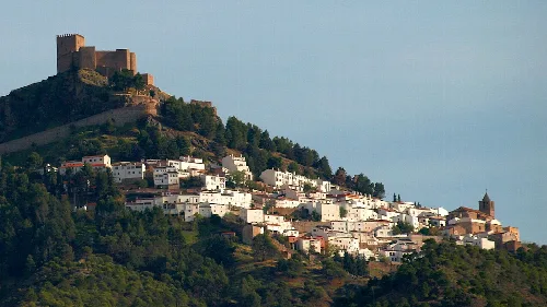
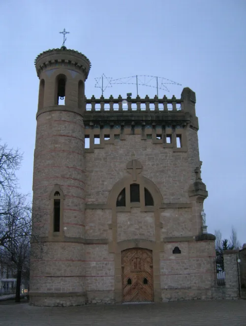
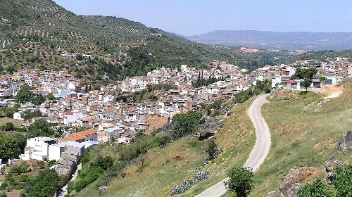
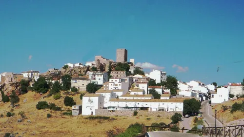
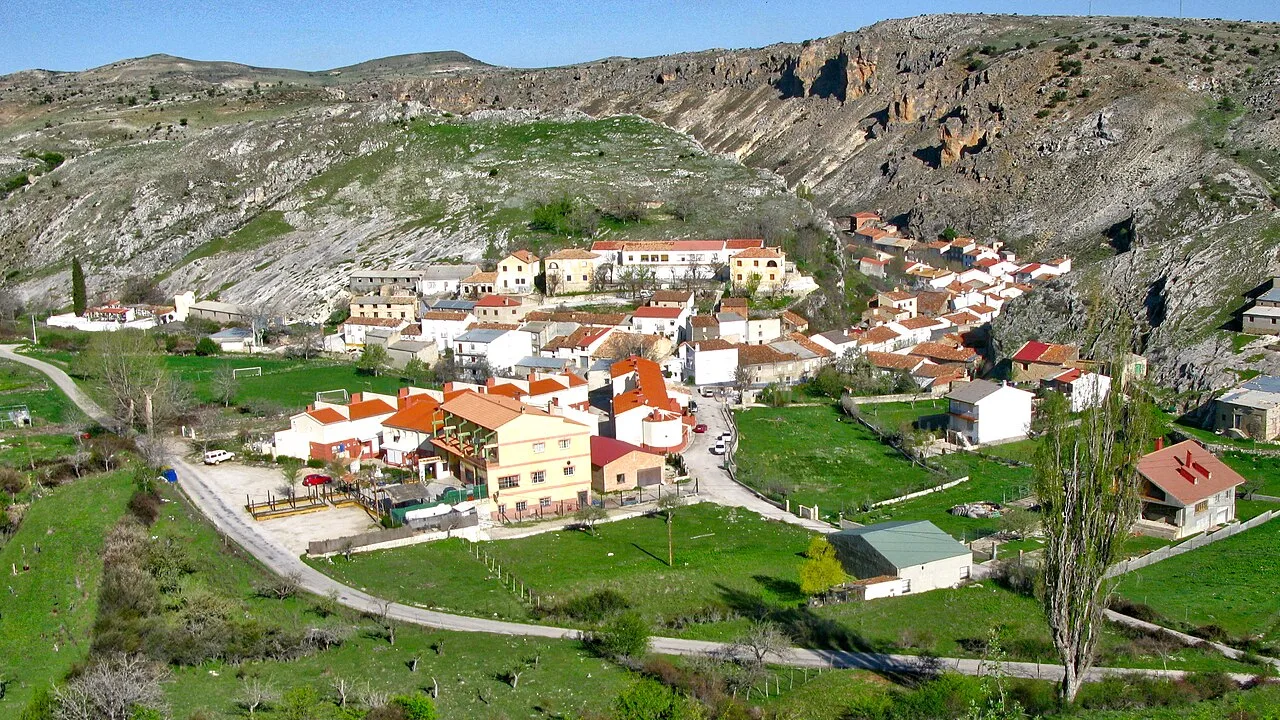
Santiago-Pontones is a municipality located in the southeastern part of the Sierra de Segura region in Jaén, Andalusia. Known for its mountainous terrain and rich cultural traditions, it was formed in 1975 from the merger of two towns, Santiago de la Espada and Pontones.
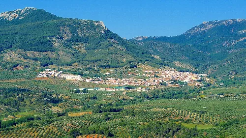
Santiago-Pontones is situated in the northeastern part of Jaén province, bordered by Albacete to the east and Granada to the south. The municipality covers an area of nearly 700 km², making it the second largest in the province. It consists of 27 population centers, with Santiago de la Espada and Pontones being the most significant. The region's rugged terrain is characterized by a mountainous climate, which is notably colder than other areas in Jaén.
The municipality is part of the natural park of the Sierras de Cazorla, Segura and las Villas, and is home to several rivers, including the Segura, Borosa, Madera, Aguamulas, and Zumeta. The unique geography contributes to its low agricultural activity, with only a small percentage of land cultivated.
Own text, written with AI assistance from the facts in Wikipedia · Santiago-Pontones · Data: Wikidata Q1645091 · Photos: Wikimedia Commons, see individual licenses. · CC BY-SA 4.0