espana.net
 Siempremolinicos, CC BY-SA 3.0
Castilla–La Mancha
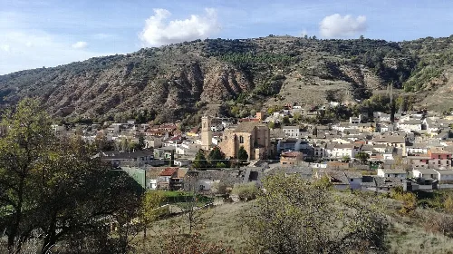
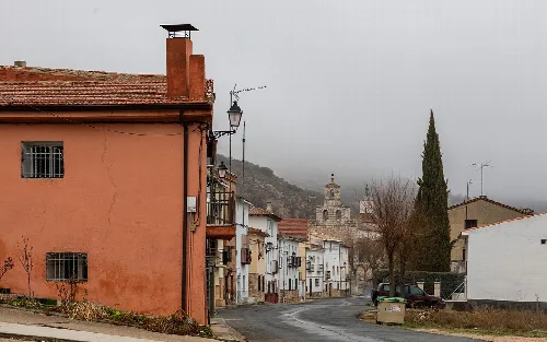
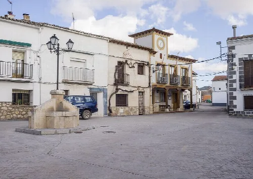
Armuña de Tajuña is a municipality located in the province of Guadalajara, within the autonomous community of Castilla-La Mancha. Characterized by its historical significance and scenic geography, it features a rich archaeological heritage and traditional festivals.
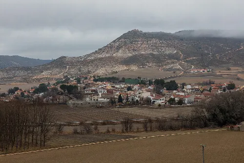
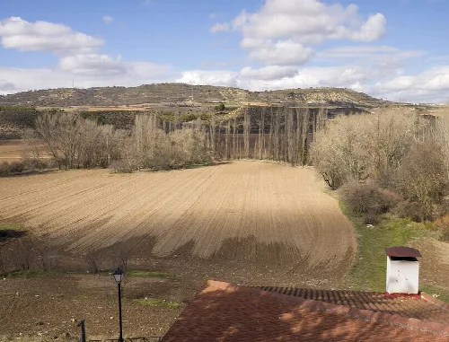
Armuña de Tajuña is situated in the La Alcarria comarca, approximately 21 kilometers from the provincial capital. The municipality is traversed by the national road N-320 and several regional roads, connecting it to nearby towns. The village is perched on a plateau at an elevation of 712 meters, overlooking the confluence of the Tajuña River and the Prá stream, with varied terrain including river valleys and typical Alcarrian highlands.
Armuña de Tajuña has a rich archaeological history, with remnants dating back to the Iron Age, including a pre-Roman citadel. The etymology of its name reflects its Arabic roots, indicating its existence during Muslim rule. Over the centuries, it has changed hands among various lords and witnessed significant events, including the establishment of its own council and the impact of wars.
Explore Armuña de Tajuña, a historic municipality in Guadalajara, Castilla-La Mancha, known for its rich heritage and scenic landscapes.
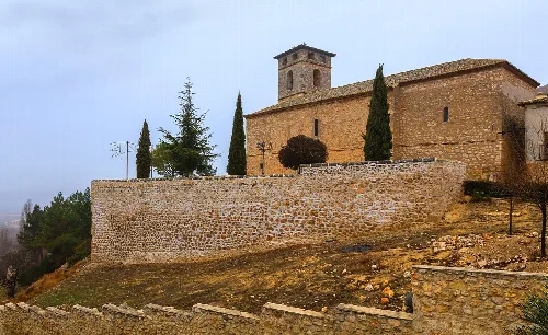
The municipality boasts a 16th-century church dedicated to San Martín de Tours and an ermita honoring the Virgen de la Soledad. The local festivals reflect its cultural traditions, with celebrations centered around the Cristo de la Misericordia and the Cristo de Mayo, which includes communal activities and festivities.
Own text, written with AI assistance from the facts in Wikipedia · Armuña de Tajuña · Data: Wikidata Q1655124 · Photos: Wikimedia Commons, see individual licenses. · CC BY-SA 4.0