espana.net
 David Perez, CC BY 4.0
Andalusia
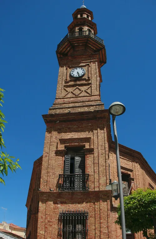
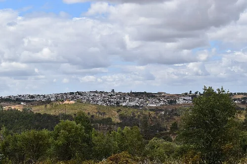
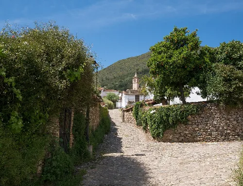
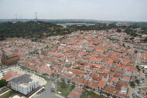
Campofrío is a municipality located in the province of Huelva, Andalusia, characterized by its rich history and notable heritage sites. Nestled at an elevation of 523 meters, it features a compact urban structure centered around its parish church and main square.
Campofrío is situated in one of the flatter areas of its region, which has influenced its urban development. The town has expanded primarily to the south, aligning with key communication routes that have become vital for its connectivity.
The history of Campofrío dates back to the Bronze Age, with evidence of human settlement and significant archaeological findings from the Iberian and Roman periods. The village was first documented in the late Middle Ages and gained independence from Aracena in 1753.
Discover Campofrío, a historic municipality in Huelva, Andalusia, known for its unique heritage and compact urban layout.
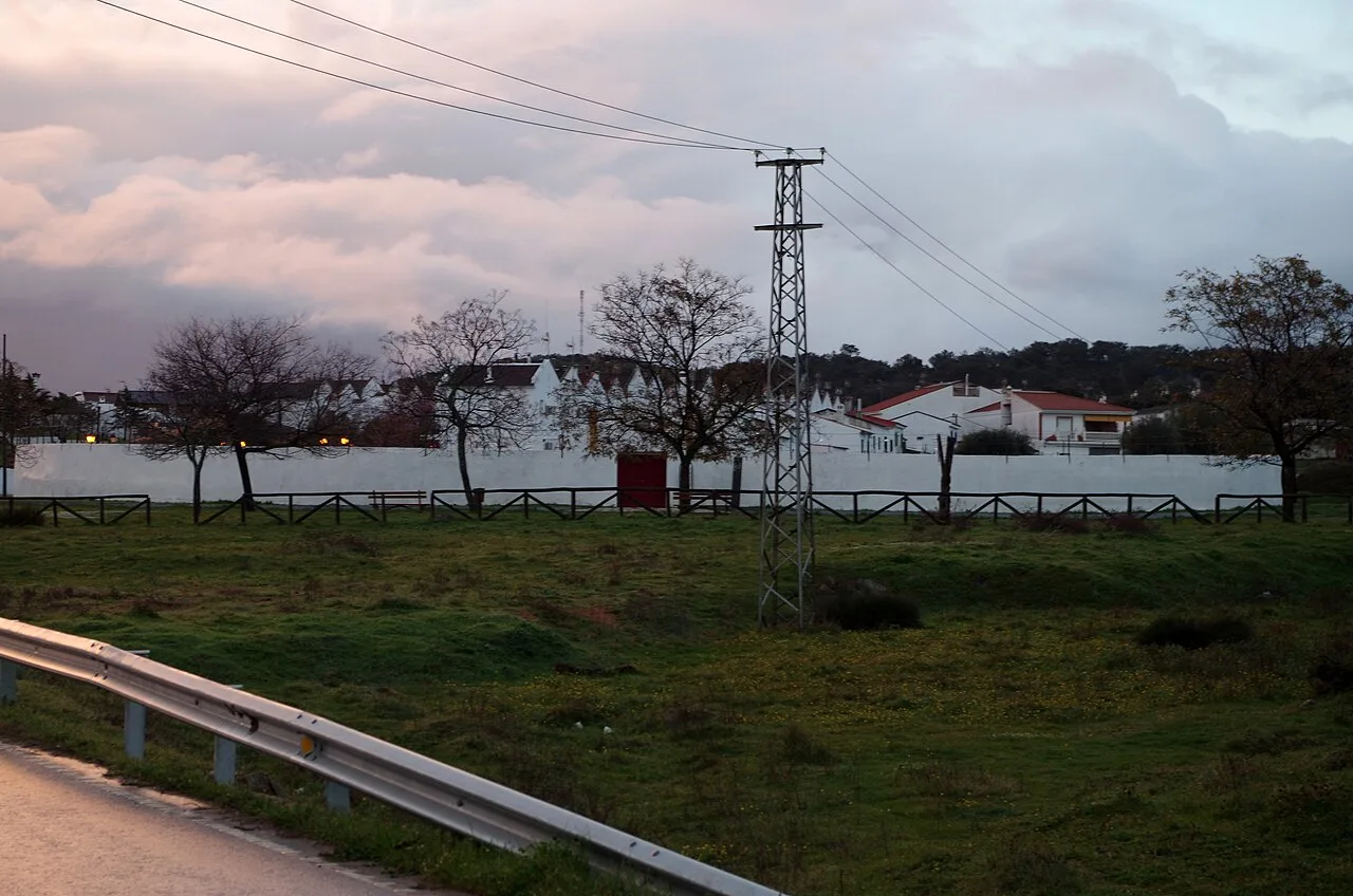
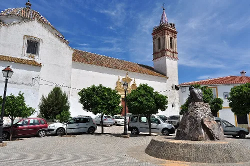
Campofrío is home to several significant historical sites, including the neoclassical Iglesia San Miguel Arcángel and the ancient bullring, which is among the oldest in Spain. The town also features a Roman bridge and a notable monument known as the Cruz de los Dolores.
Own text, written with AI assistance from the facts in Wikipedia · Campofrío · Data: Wikidata Q1615055 · Photos: Wikimedia Commons, see individual licenses. · CC BY-SA 4.0