espana.net
 Nuria Gómez Delgado, CC BY-SA 4.0
Castile and León
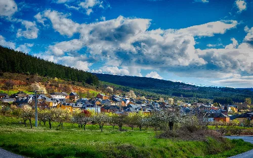
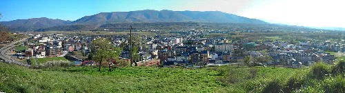
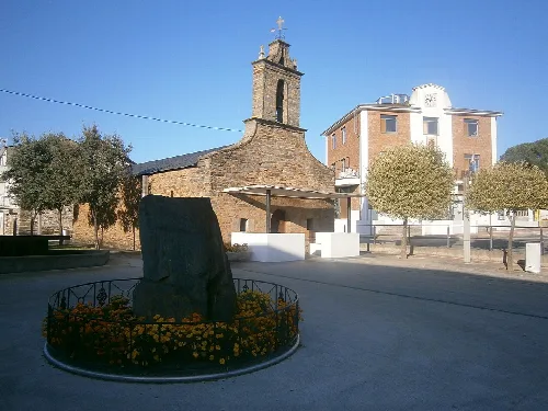
San Román de Bembibre, also known as Congosto, is a municipality in the province of León, located in the autonomous community of Castile and León. It is part of the El Bierzo comarca and is characterized by its rich history, diverse geography, and cultural heritage.
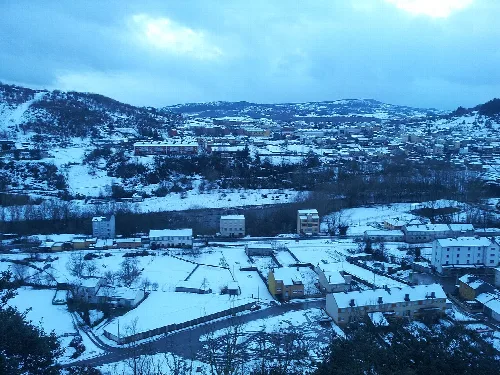
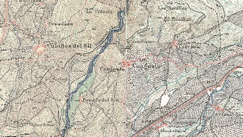
San Román de Bembibre is situated in the valley of Boeza, within the El Bierzo comarca. The municipality features varied terrain, with higher elevations in the north, including the Peñas de la Riestra, and the river Boeza flowing through the southern part. The village itself is located at an elevation of 692 meters above sea level.
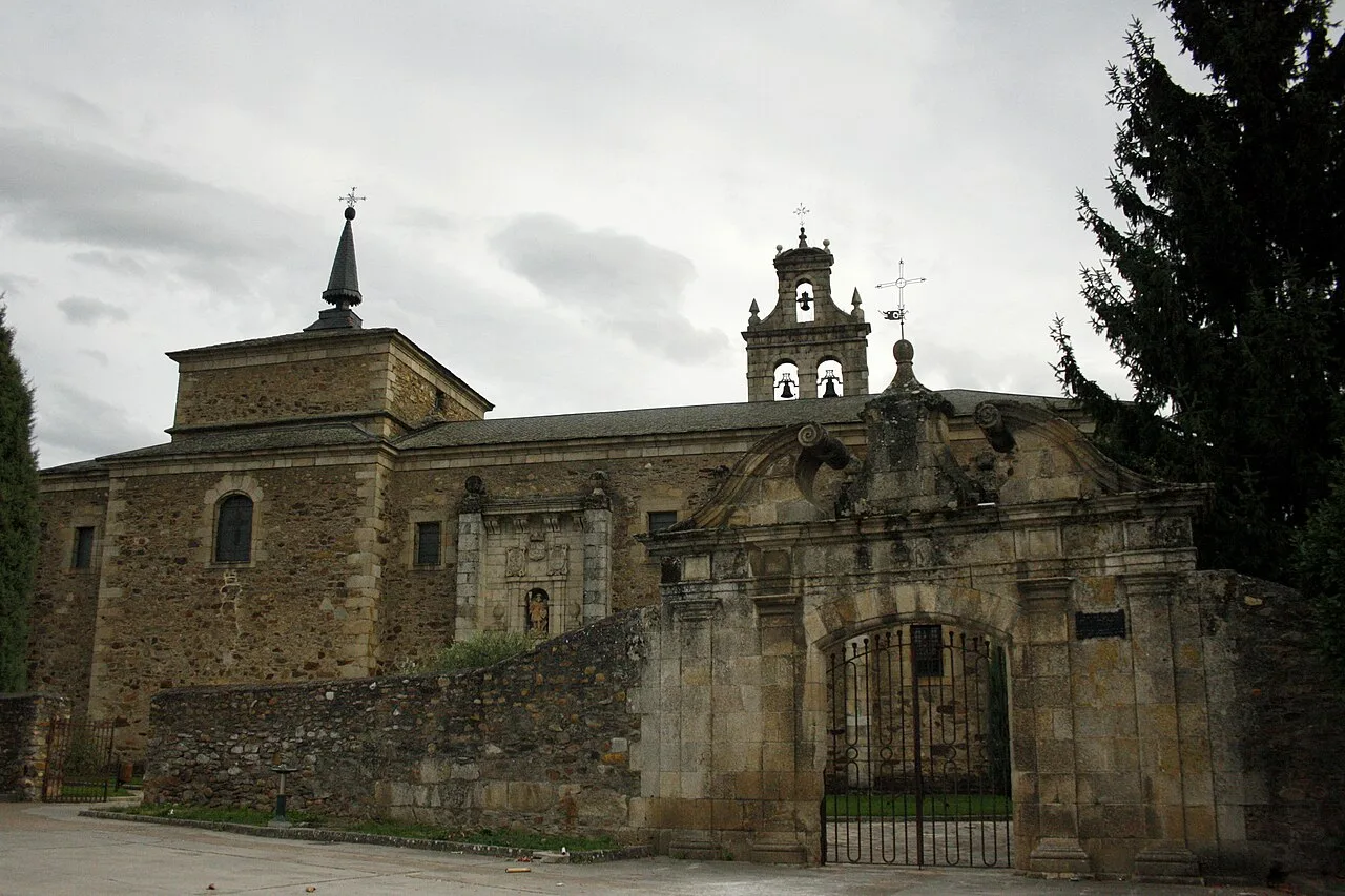
The area has evidence of human settlement dating back to Asturian and Roman times, with notable archaeological sites such as the castros of the Murielas and Melendreras. The municipality was founded during the Middle Ages, integrating into the Kingdom of León, and saw significant development with the establishment of the Monastery of San Miguel de las Dueñas in the 10th century.
San Román de Bembibre, a municipality in León, showcases rich history and cultural heritage in the El Bierzo comarca.
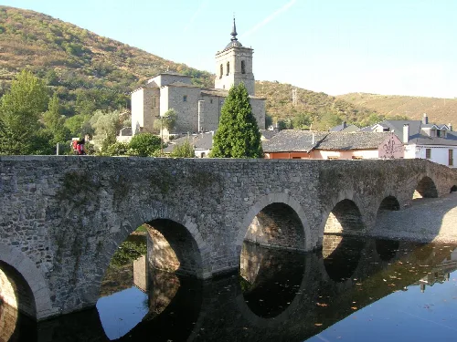
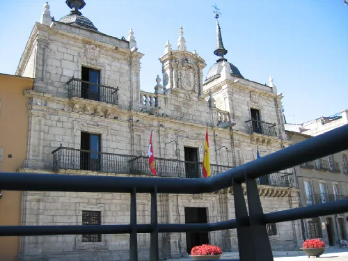
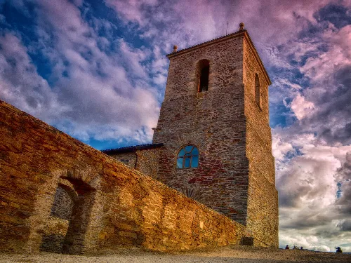
San Román de Bembibre is home to several historical and cultural sites, including the Santuario Virgen de la Peña, which dates back to the 13th century, and the Monastery of San Miguel de las Dueñas. The municipality is also part of the Camino de Manzanal and the Camino Olvidado, showcasing its historical significance as a transit point.
Own text, written with AI assistance from the facts in Wikipedia · Congosto · Data: Wikidata Q44901 · Photos: Wikimedia Commons, see individual licenses. · CC BY-SA 4.0