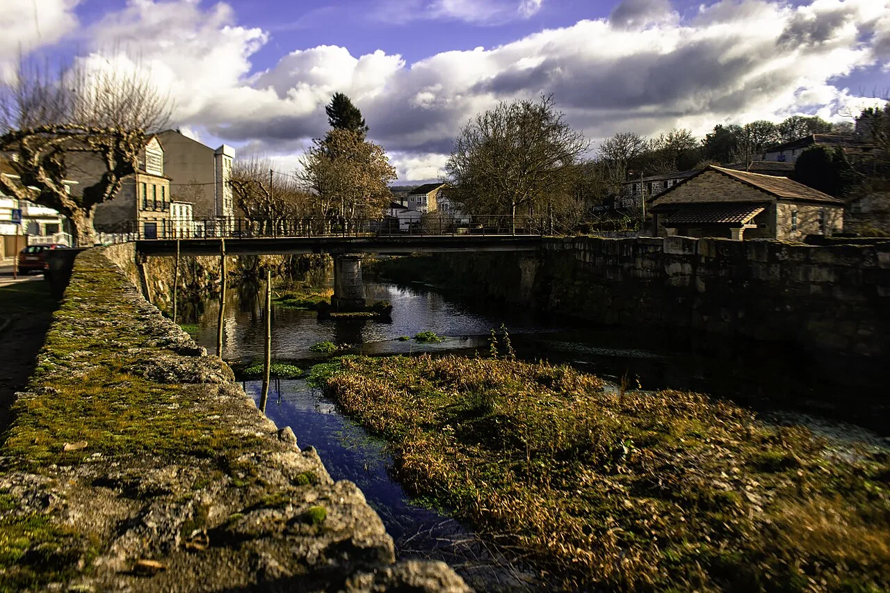
Asma River in Chantada with trees and buildings, sunny and cloudy day. Bene Riobó, CC BY-SA 4.0

Chantada

Galicia

8,171Population
176.70 km²Area
36 mElevation
27500Postal code

Chantada is a municipality and town located in the province of Lugo, Galicia. Known as the 'Heart of Galicia', it features a well-preserved urban area and rich cultural heritage.

02Geography

Chantada's urban area is characterized by its conservation and vibrant atmosphere. The town is traversed by the Asma River, which is a tributary of the Miño. The riverside promenade is a notable feature, connecting various parks and recreational areas, including a beach area with picnic spots. Additionally, the town offers several swimming facilities, including an indoor pool and outdoor pools.

Biosphere Reserve
Declared by UNESCO on September 15, 2021
Natural Attractions
Ribeira Sacra
Main Square
Plaza de Santa Ana
Industrial Zone
Os Acivros, 2 km from the town center
Recreational Areas
Parks and riverside promenades

03History

The name Chantada is believed to originate from a local legend involving a woman who, while transporting a large stone, expressed her fatigue with the phrase 'chantada no chan', meaning 'stuck in the ground'. This tale reflects the town's cultural roots and historical significance.

Chantada, a town in Lugo, Galicia, is known for its rich heritage and vibrant festivals, including the Feira do Viño and Castañazo Rock.

04Festivals and Celebrations

Chantada hosts a variety of festivals throughout the year, reflecting its cultural vibrancy. The patron saint festivities for the Virgen del Carmen occur on the fourth Sunday of August, lasting five days. Other notable events include the Feira do Viño in March and the Castañazo Rock in November, showcasing local traditions and music.
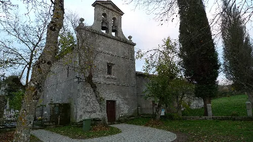
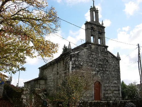
Facade of an old church with trees and a stone path.
Facade of San Salvador de Asma church in Chantada, with trees and a stone path in the foreground.
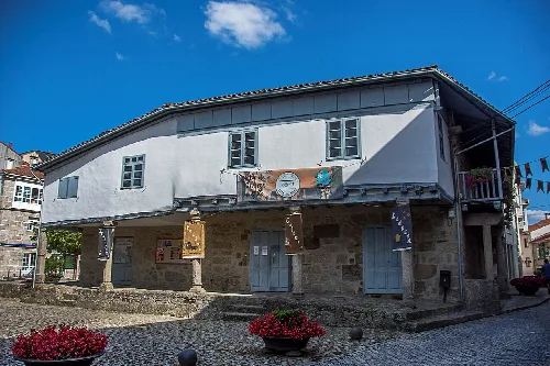
Two-story building with white facade and festive decorations in Chantada.
Chantada's cultural center in Lugo province with a white facade and festive decorations.
Chantada · Data
Province
Lugo
Autonomous community
Galicia
Population
8,171
Area
176.70 km²
Elevation
36 m
Postal code
27500
Website
http://www.concellodechantada.org/
Coordinates
42.6083, -7.7689

Photos

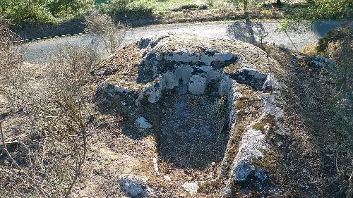
Stone tomb with human shape in Chantada, Lugo.
Fornas anthropomorphic tombs in Chantada, Lugo, carved in stone with human shape.
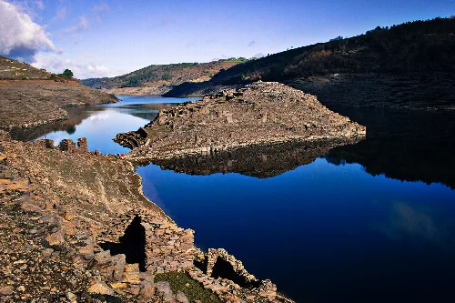
Ruins of a hillfort on the Miño River in Chantada, Lugo, with water and surrounding hills.
Castro Candaz, an ancient hillfort on the Miño River in Chantada, Lugo, with views of water and ruins in a natural setting.
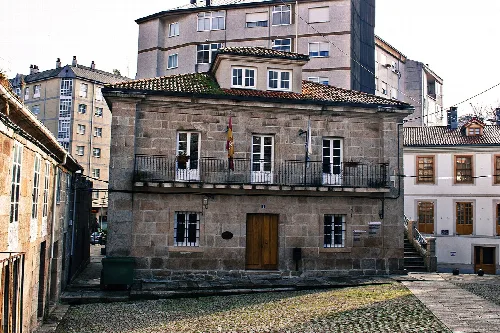
Stone building with balcony and flags in Chantada.
Stone building with balcony and flags in Chantada, Lugo.

Map

Nearby

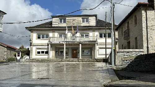
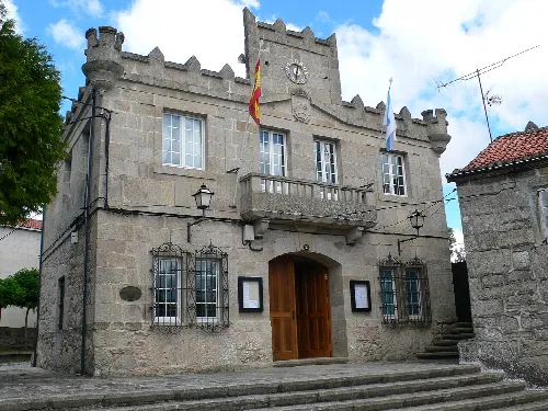
Town hall building with balconies and flags in Taboada, Lugo.
Taboada
Lugo · 2,617 inhabitants
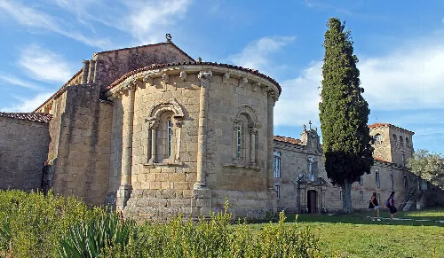
Exterior view of the monastery with a tall tree and grass in the foreground.
Pantón
Lugo · 2,350 inhabitants
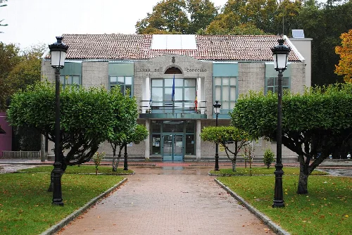
Casa do concello de Rodeiro
Rodeiro
Pontevedra · 2,232 inhabitants

Own text, written with AI assistance from the facts in Wikipedia · Chantada · Data: Wikidata Q1447512 · Photos: Wikimedia Commons, see individual licenses. · CC BY-SA 4.0