espana.net
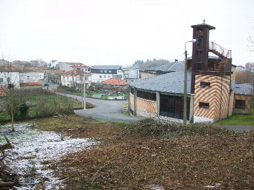
 Gabriel Conde Arias-Camison, CC BY-SA 4.0
Galicia
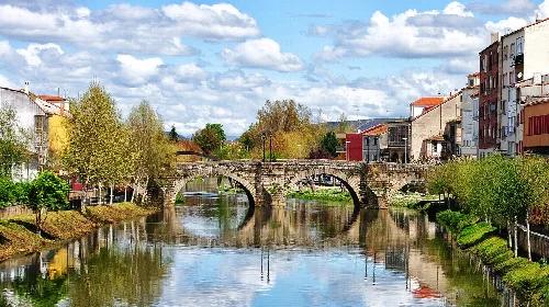
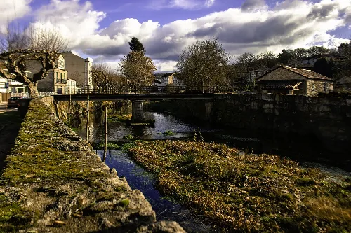
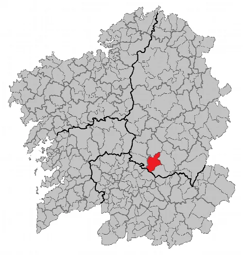
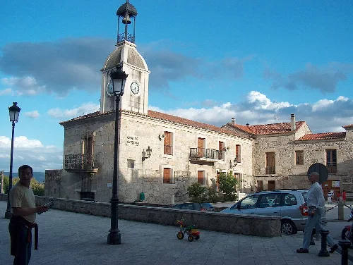
Pantón is a municipality located in the province of Lugo, Galicia, known for its rich historical heritage and scenic landscapes. It features a unique geographical setting marked by the convergence of the Miño, Cabe, and Sil rivers, contributing to its designation as part of the Ribeira Sacra Lucense.
Pantón is situated in the southwestern part of Lugo province, bordering Ourense. The municipality is characterized by its hilly terrain in the west, with notable elevations such as Eirexe and Monte de San Paio. The region is defined by the Miño, Cabe, and Sil rivers, which enhance its natural beauty and ecological significance.
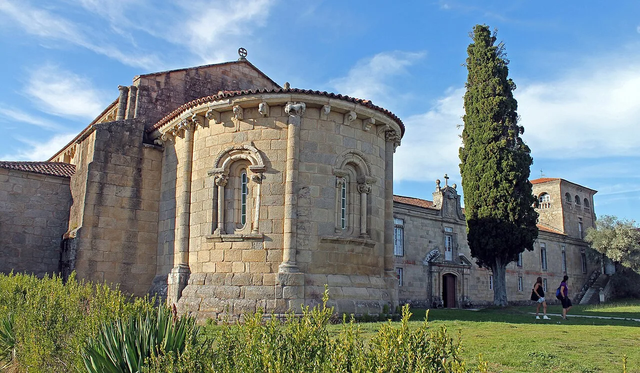
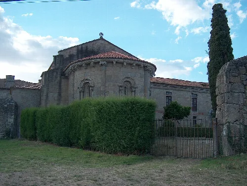
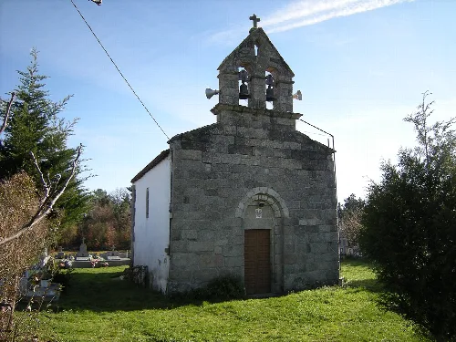
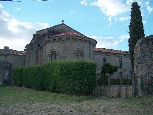
Pantón is home to several historical religious sites, primarily Romanesque churches that date back to the medieval period. These structures, often associated with monasteries, showcase a wealth of sculptures and murals, reflecting the area's rich cultural heritage.
Explore Pantón, a municipality in Lugo, Galicia, known for its historical sites and beautiful river landscapes.
Pantón is well-connected by road and rail, with the National Roads N-120 and N-120A providing access to Ourense and Ponferrada. The municipality also features railway stations that facilitate travel to nearby cities, enhancing its accessibility.
Own text, written with AI assistance from the facts in Wikipedia · Pantón · Data: Wikidata Q1447446 · Photos: Wikimedia Commons, see individual licenses. · CC BY-SA 4.0