espana.net
 .saturno., CC BY 2.0
Galicia
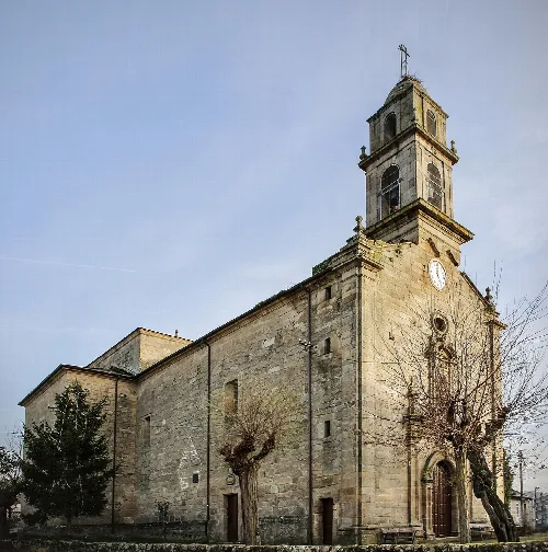
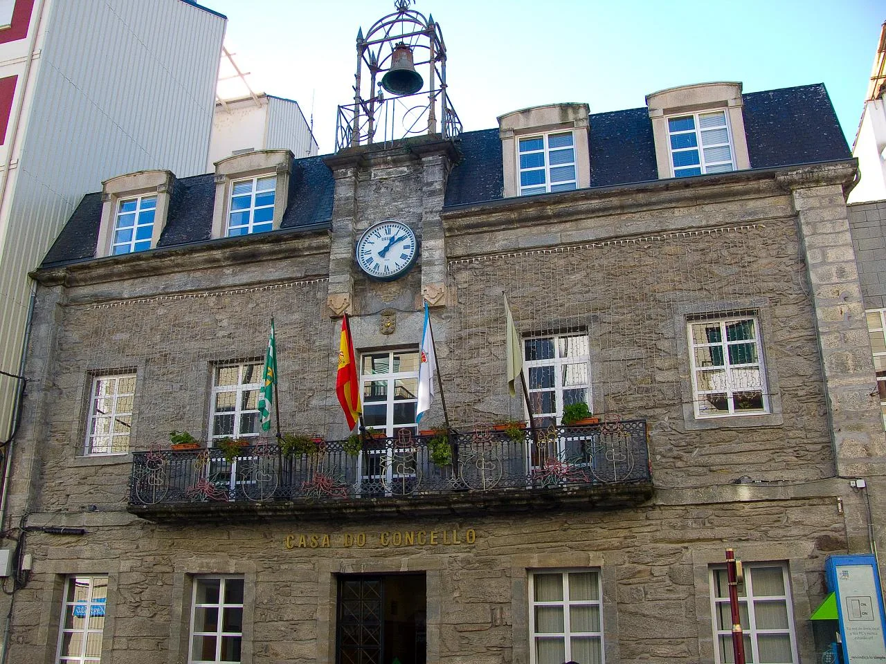
Quiroga is a municipality located in the province of Lugo, Galicia, characterized by its mountainous terrain and rich natural heritage. It features deep valleys and a variety of flora, influenced by its Mediterranean climate and proximity to the Sil River.
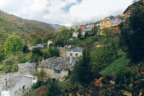
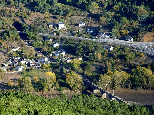
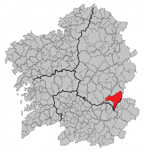
Quiroga is situated in the southeastern part of Lugo province, bordering Ourense and León. The municipality is defined by the mountainous terrain of the Serra do Caurel and the Sil River, which serves as the main watercourse, along with several tributaries. The region features notable peaks, including Formigueiros and Pia Paxaro, and is characterized by deep gorges and valleys.
The climate in Quiroga is classified as Mediterranean, with warm summers and mild winters. Rainfall is concentrated from October to January, with November being the wettest month. The region's diverse topography supports a variety of vegetation, including chestnut trees, vineyards, and various types of oaks, reflecting the unique ecological transition between two floristic worlds.
Quiroga is a municipality in Lugo, Galicia, known for its mountainous landscape and rich biodiversity.
Quiroga is part of the Ribeira Sacra wine region, known for its Denominación de Origen (D.O.) products. The municipality is also traversed by the Camino de Invierno, a variant of the famous pilgrimage route. Additionally, a significant portion of the area is designated as a Natura 2000 site, highlighting its ecological importance.
Own text, written with AI assistance from the facts in Wikipedia · Quiroga, Galicia · Data: Wikidata Q969128 · Photos: Wikimedia Commons, see individual licenses. · CC BY-SA 4.0