espana.net
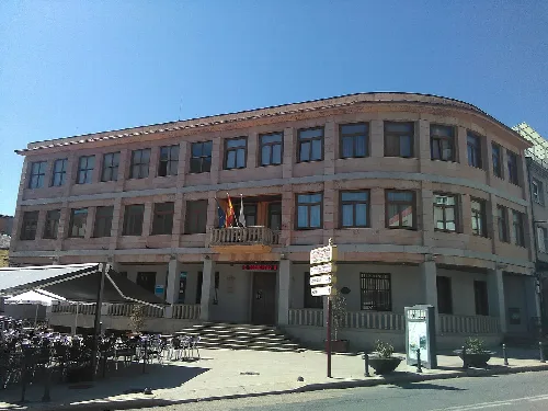
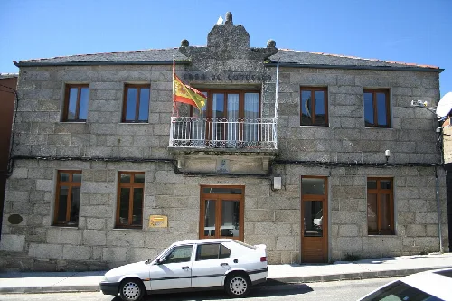
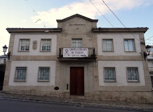
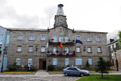
 Concello de Larouco, CC BY-SA 4.0
Galicia
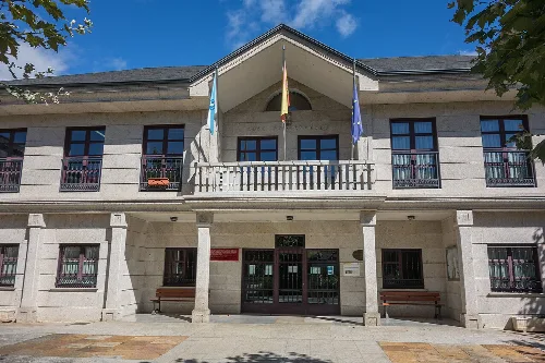
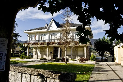
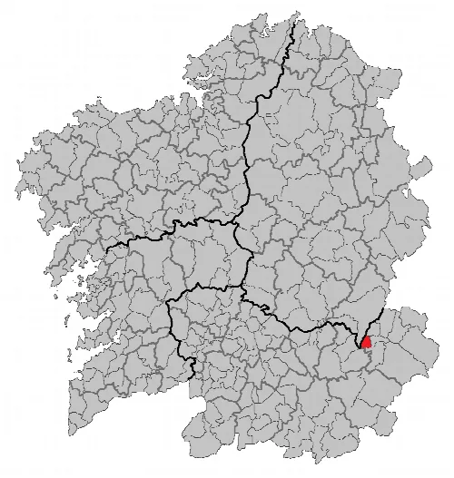
Larouco, also known as Laroco, is a municipality in the province of Ourense, Galicia. Nestled in a mountainous region, it features a diverse landscape with valleys and hills, characterized by its unique Mediterranean-influenced climate.
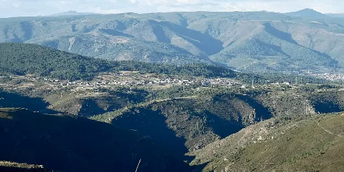
Larouco is situated in the Valdeorras comarca, approximately 90 kilometers from the provincial capital. The municipality is traversed by the N-120 national road and the local OU-636 road, which connects to Puebla de Trives. The terrain features three distinct relief units: the As Bacarizas mountains in the west, the Seadur and Freixido penillanuras in the east, and the valleys carved by the Sil, Bibey, and Jares rivers.
The climate in Larouco is classified as oceanic Mediterranean, influenced by its geographical features and location in southeastern Galicia. This results in a unique weather pattern with average temperatures around 15 °C, hot summers reaching 22 °C, and cold winters averaging 5 °C. Rainfall is limited to about 700 mm annually, with frequent summer storms and winter fogs occurring in the valley bottoms.
Discover Larouco, a picturesque municipality in Galicia known for its mountainous terrain and Mediterranean climate.
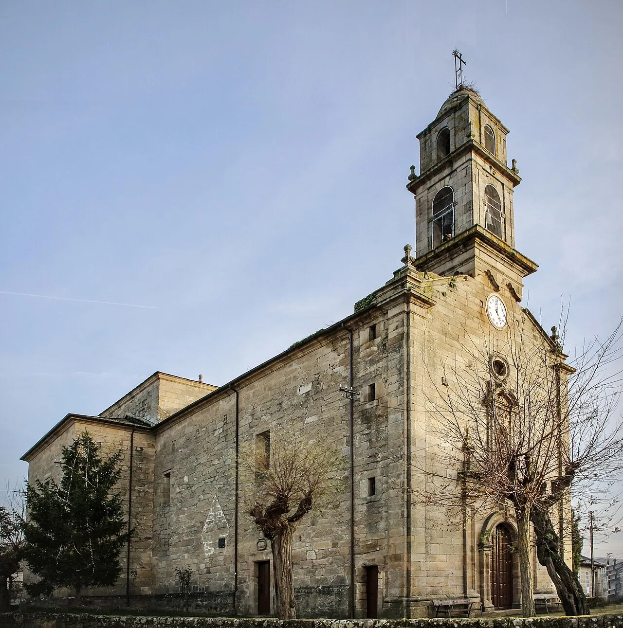
The municipality has a population of 484 residents, distributed across five population entities within four parishes: Freijido, Laroco, Portomourisco (San Víctor), and Seadur (Santa Marina). This distribution reflects the rural character of the area, with many inhabitants living in the surrounding parishes rather than the central village.
Own text, written with AI assistance from the facts in Wikipedia · Larouco · Data: Wikidata Q1631787 · Photos: Wikimedia Commons, see individual licenses. · CC BY-SA 4.0